Download as PDF, PPTX


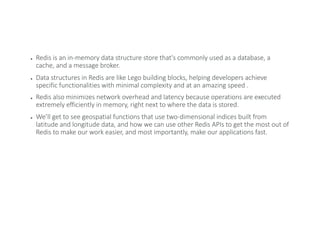

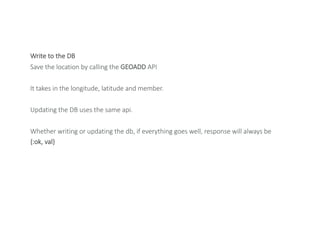
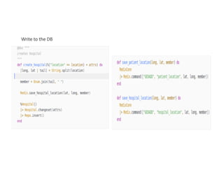
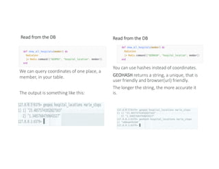

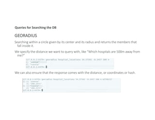
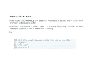
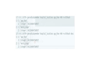

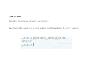

Geocoding converts addresses into geographic coordinates. Redis enables fast geocoding through its geospatial indexing features. Redis stores geographic coordinates in sorted sets, allowing queries like finding locations within a given radius. Common geospatial queries in Redis include GEORADIUS to find members within a circle and GEODISTANCE to calculate distance between members. Redis provides fast, in-memory geocoding capabilities through its geospatial APIs and data structures.