Download to read offline
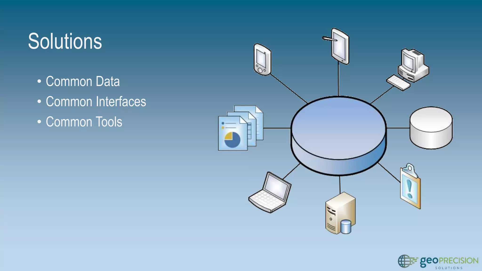
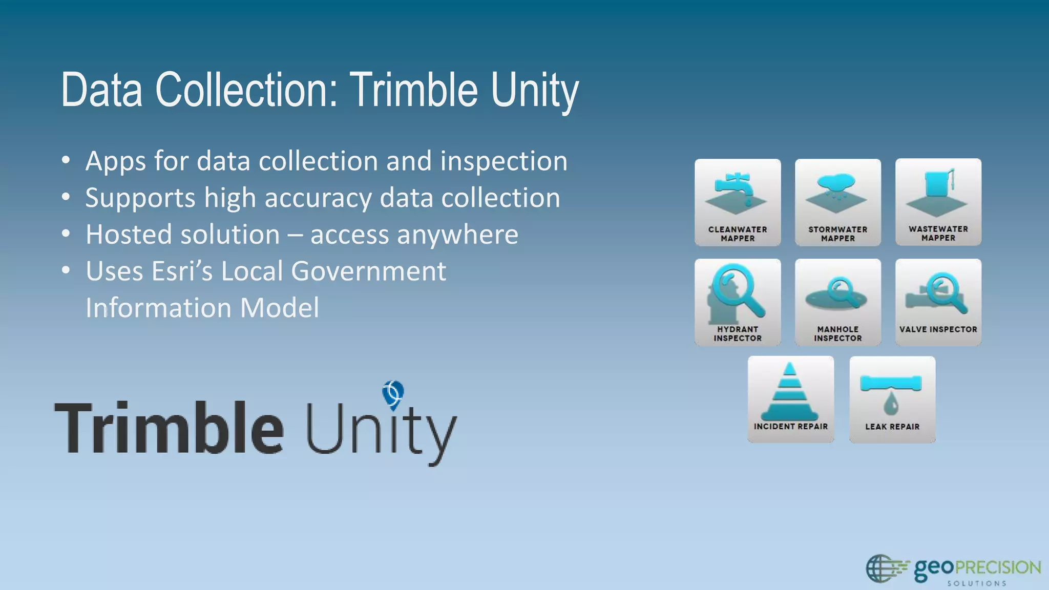

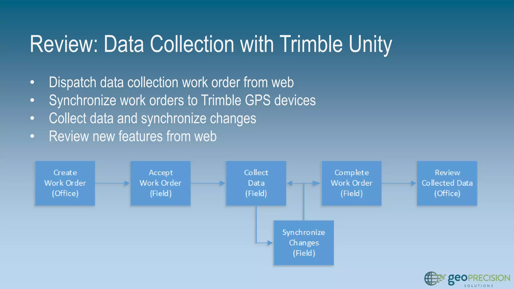

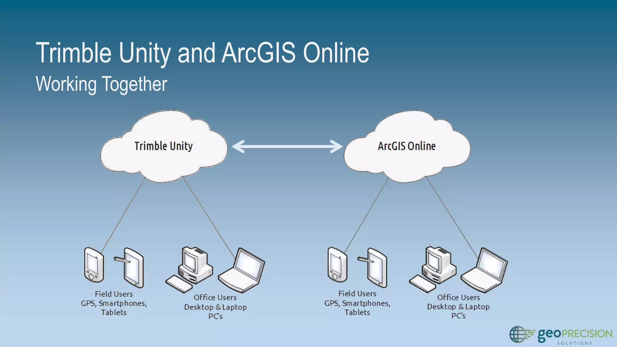
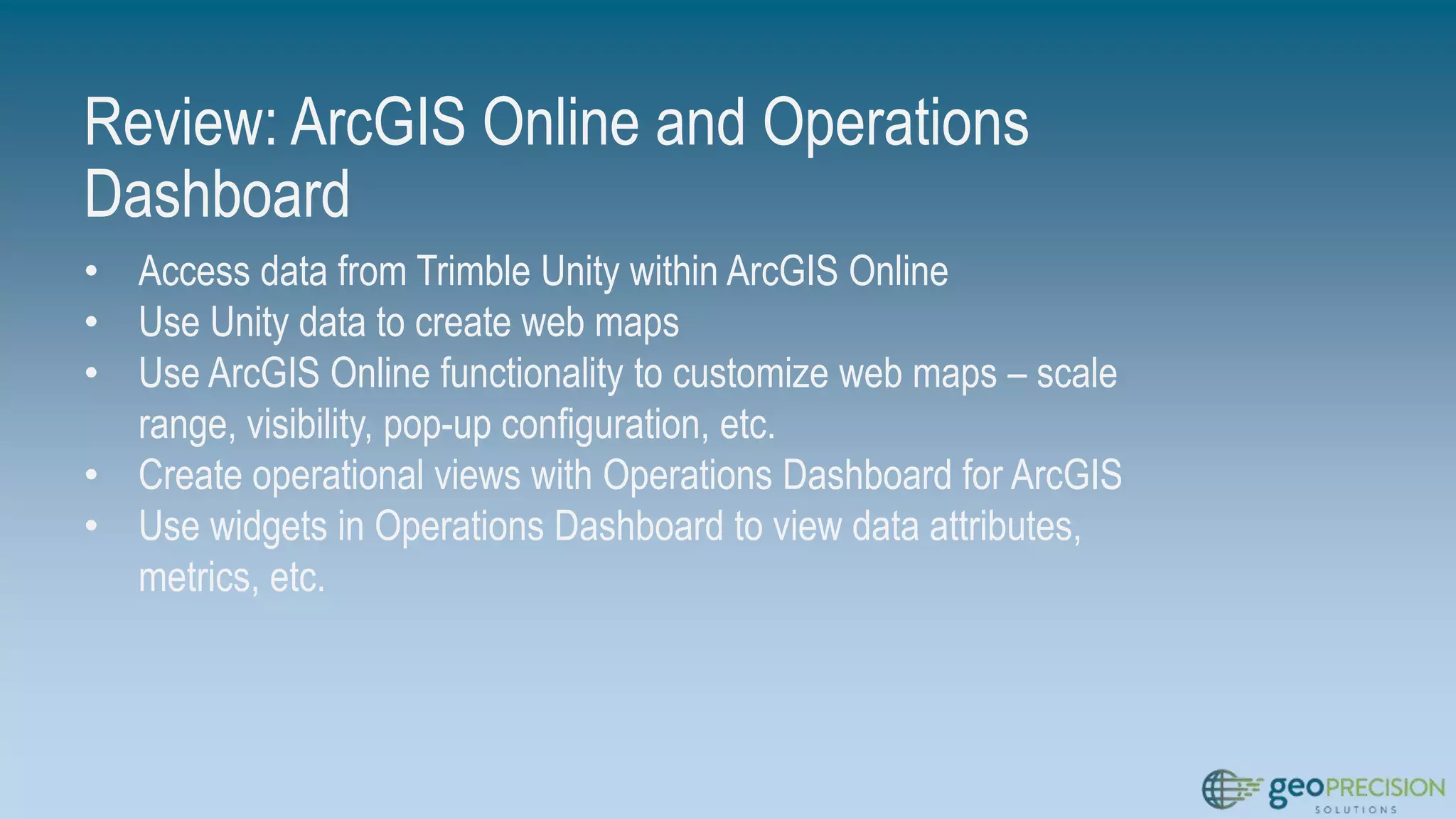
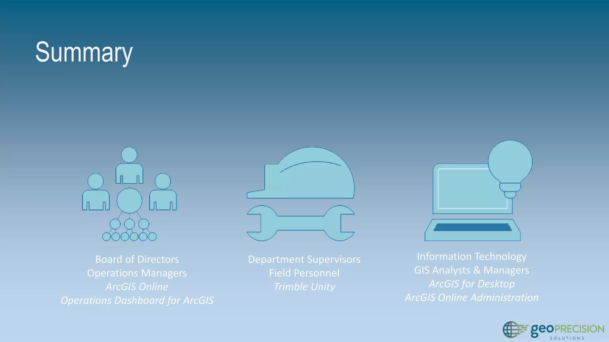
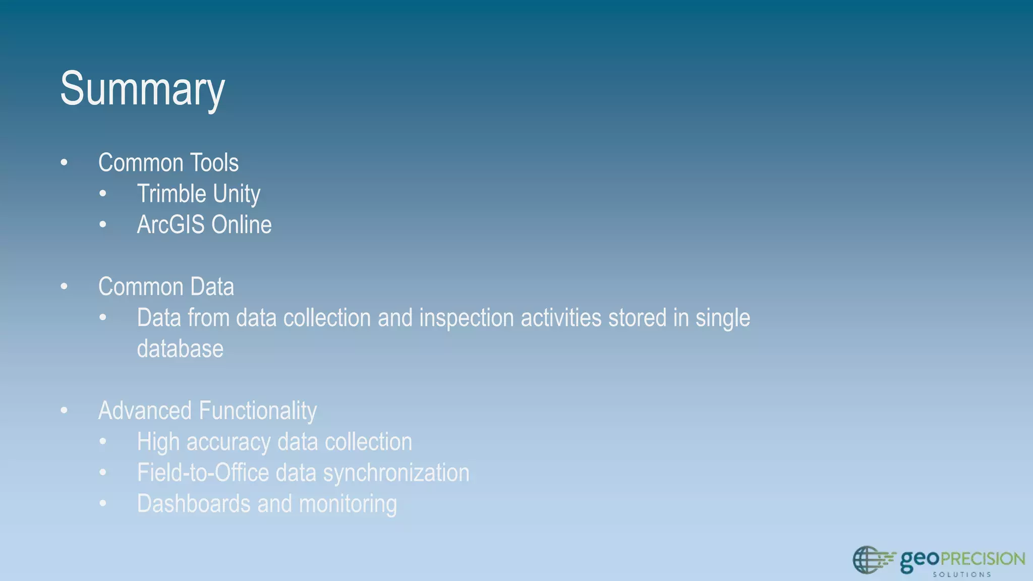


This document summarizes current tools for asset data collection, inspections, and monitoring. It introduces Trimble Unity for high-accuracy data collection in the field and synchronization with a common database. ArcGIS Online and the Operations Dashboard application allow different user groups to access the shared data for monitoring and reporting from the web. Together these common tools aim to improve workflows by connecting field collection to office access and analysis through a centralized system.


![[Webinar] 8 Mobile Forms for Construction](https://cdn.slidesharecdn.com/ss_thumbnails/webinar8formsconstruction-181219162606-thumbnail.jpg?width=640&height=640&fit=bounds)


