Downloaded 81 times
![ARCH352
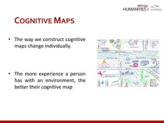
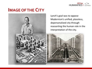
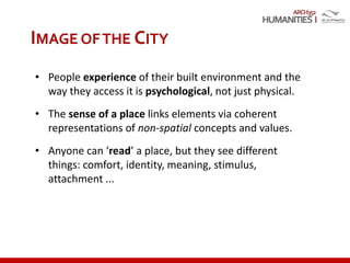
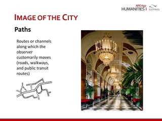
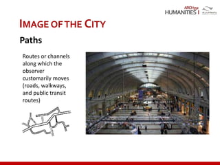
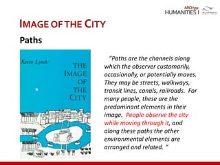
“We are not simply observers of
the city but are ourselves part of
what we see. Our perception is
usually partial, fragmentary, mixed
with other concerns [..] The
environmental image is the
product both of immediate
sensation and of the memory of
past experience.”
Kevin Lynch, “The Structure of Urban
Perception”,
The Image of the City (1960)
IMAGE OFTHE CITY](https://image.slidesharecdn.com/humanitiesi-cognitivemapping2016-170207202742/85/Humanities-i-cognitive-mapping-2016-15-320.jpg)
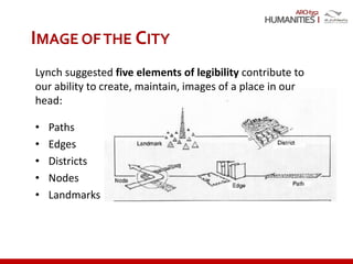
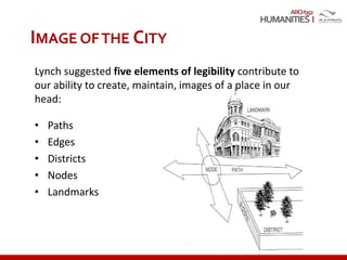
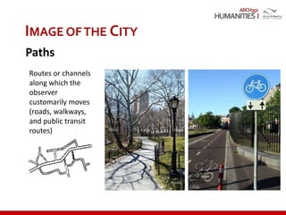

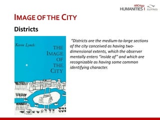


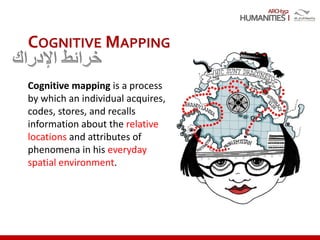
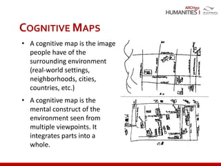
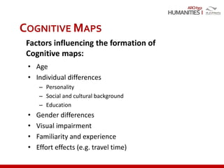
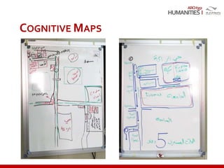
This document discusses environmental cognition and cognitive mapping. It begins by defining environmental cognition as the process of acquiring, storing, organizing, and recalling information about locations, distances, and arrangements in spaces. It then defines cognitive mapping as the process by which individuals acquire, code, store, and recall information about the relative locations and attributes of phenomena in their everyday spatial environment. The document goes on to discuss cognitive maps as mental constructs of environments that integrate parts into a whole. It notes several factors that influence cognitive map formation, including age, personality, experience, and familiarity with an area. Finally, the document discusses Kevin Lynch's theory of the image of the city and his five elements of urban legibility: paths, edges, districts


