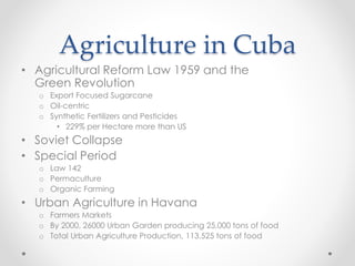
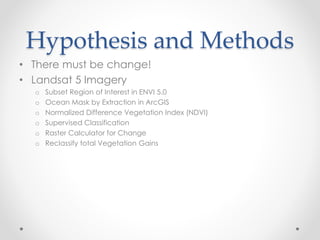
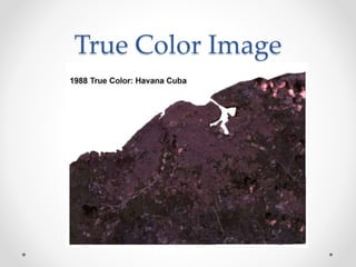
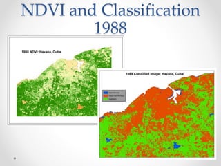
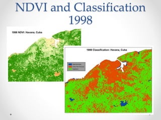
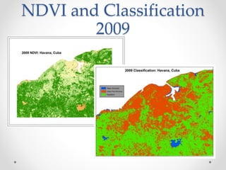
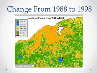
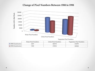
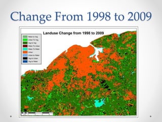
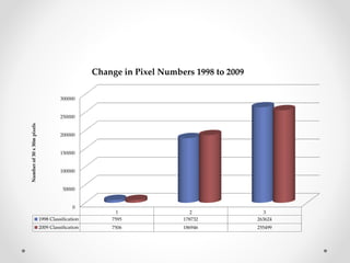
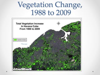
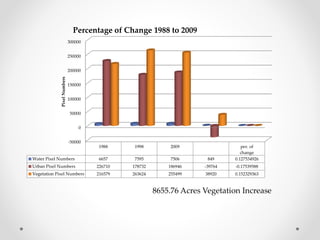
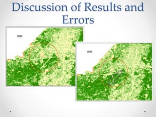
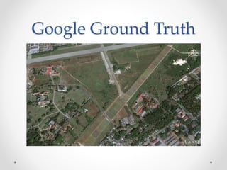
This document discusses land use change in Cuba after the collapse of the Soviet Union in the late 1980s. It analyzes satellite imagery from 1988, 1998, and 2009 to classify land use and calculate changes in vegetation, urban, and water pixels over time. The results show an increase of around 8655 acres or 3493030 square meters of vegetation from 1988 to 2009, likely due to Cuba shifting to more sustainable agricultural practices during its "Special Period" after losing Soviet support. The document concludes by discussing the results and limitations of the remote sensing analysis.