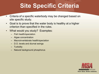
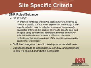
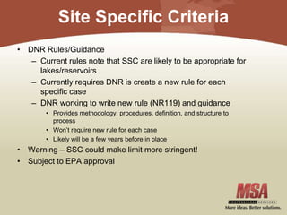
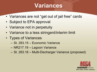
Download to read offline


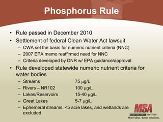
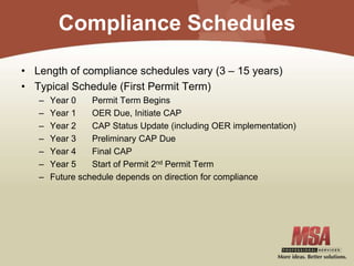
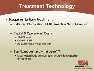
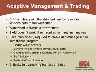
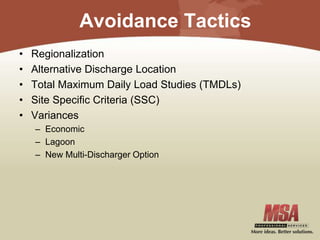

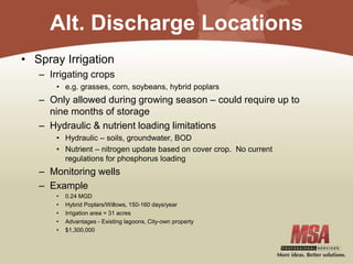


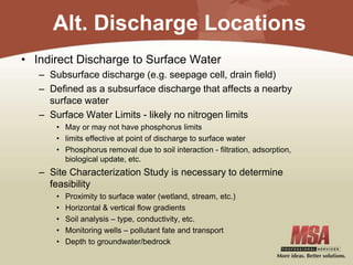
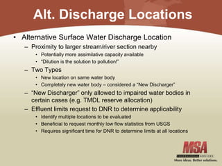

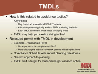


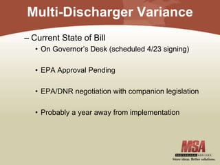


The presentation discusses strategies to mitigate stringent phosphorus limits set by the Wisconsin Department of Natural Resources as a result of a federal Clean Water Act lawsuit. It outlines various compliance methods, including treatment technologies, adaptive management, and alternative discharge locations, while emphasizing the importance of regional collaboration and the identification of feasible solutions. Additionally, the document highlights the potential for variances and site-specific criteria adjustments to aid municipalities in meeting these regulatory challenges.


