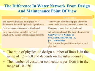
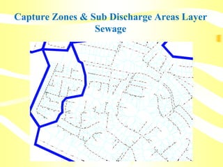
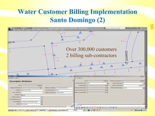
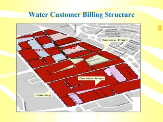
This document discusses the differences between water and sewer network design and maintenance from a GIS perspective. It provides examples of how GIS is used to maintain physical network data for both purposes. GIS supports activities like asset management, work order tracking, billing systems, and long-term network simulation for predictive analysis. The document also shares a case study of a GIS implementation for the sewer network in Montevideo, Uruguay that integrated asset data with other systems.