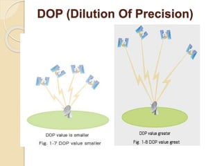
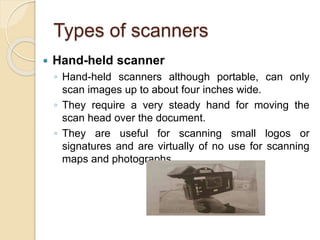
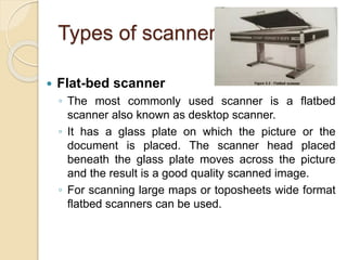
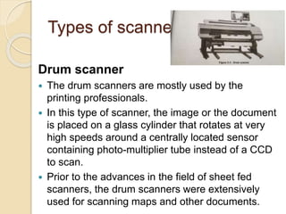
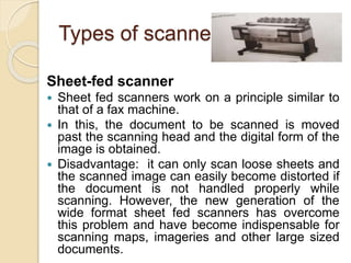
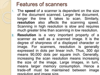
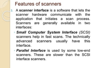
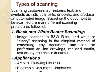
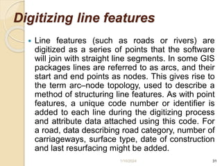
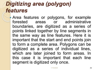
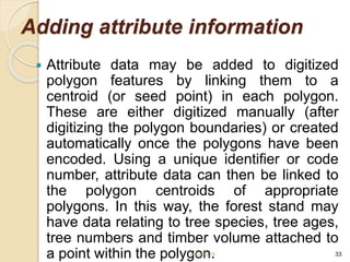
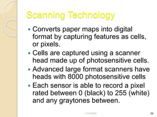
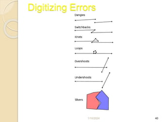
Scanners convert paper maps and images into digital formats by capturing individual pixels. Scanners work by using a sensor to detect light reflected off the document and assign values to pixels, forming a digital image. Common scanner types include flatbed, sheet-fed, and drum scanners. Scanning produces raster data files that store images as a grid of pixels. Common raster formats include TIFF, JPEG, and PNG. Vector data involves digitizing maps to extract geographic features as points, lines, and polygons with attributes. Digitizing is done manually using a digitizing tablet or heads-up on a computer screen.

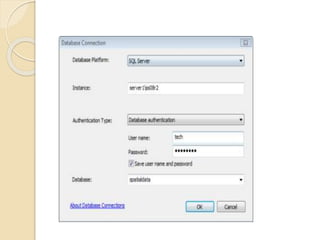
![Connect to the database
The following steps describe using the Database
Connection dialog box.
1. Expand Database Connections in the Catalog tree
in ArcGIS or ArcCatalog and double-click Add
Database Connection.
2. Choose SQL Server from the Database
Platform drop-down list.
3. Type the SQL Server instance name in
the Instance text box.
For example, if user are using a default SQL
Server instance, user can specify the instance name or the
IP address of the server in the Instance text box. If
specifying an IPV6 address, enclose the address in
brackets. For example, if the IPV6 address of the server is
2000:ab1:0:2:f333:c432:55f6:d7ee,
type [2000:ab1:0:2:f333:c432:55f6:d7ee] in
the Instance text box.](https://image.slidesharecdn.com/gis-unit3-1-240110051715-3f12f1fa/85/GIS-Unit-3-1-pptx-for-geographical-information-systems-68-320.jpg)