
Recommended
More Related Content
Viewers also liked
Similar to Gis meetup 112013
Similar to Gis meetup 112013 (20)
Recently uploaded
Recently uploaded (20)
Gis meetup 112013
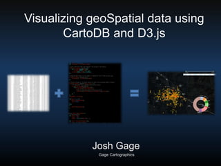
- 1. Visualizing geoSpatial data using CartoDB and D3.js Josh Gage Gage Cartographics
- 2. CartoDB Cloud computing platform for GIS and webmapping in the browser Support most geoSpatial data formats
- 3. CartoDB Stand alone web maps Tile/data server for custom applications
- 4. CartoDB • PostgreSQL Database with full POSTGIS capability
- 5. D3 – Data Driven Documents • Open Source JavaScript library • Renders dynamic graphics in browser’s DOM using <svg>
- 7. JSON returned from Queries { "type": "Feature", "properties": { "typesimple": "theft", "type": "THEFT OF LOST OR MISLAID PROPERTY ", "id": "891", "location": "100 BLK E MAIN ST", "location2": "100 E MAIN ST, Bozeman Montana", "date": "2013-07-13T00:59:59+0200", "cartodb_id": 891, "created_at": "2013-10-26T16:53:50+0200", "updated_at": "2013-10-26T17:07:58+0200", "cartodb_georef_status": true, "time": null }, { "type": "Feature", "properties": { "typesimple": "theft", "type": "THEFT, ALL OTHERS ", "id": "926", "location": "1200 BLK W LINCOLN ST", "location2": "1200 W LINCOLN ST, Bozeman Montana", "date": "2013-08-03T20:17:59+0200", "cartodb_id": 926, "created_at": "2013-10-26T16:53:50+0200", "updated_at": "2013-10-26T17:08:28+0200", "cartodb_georef_status": true, "time": null },