Download to read offline


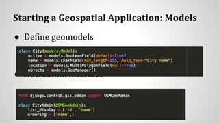
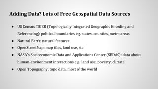
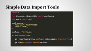
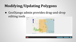
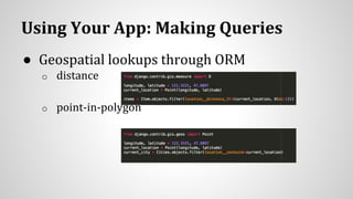
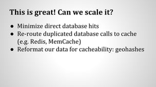
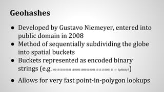
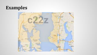


This document discusses using location data in web applications. It provides an overview of GeoDjango for building geospatial web apps in Django. GeoDjango allows importing geospatial vector and raster data and provides ORM for geospatial queries. The document discusses setting up models and databases, importing geospatial data, making queries, and scaling applications using techniques like geohashes to cache location lookups. Geohashes represent locations as encoded strings to quickly determine containing polygons and scale point-in-polygon lookups.


