Download to read offline


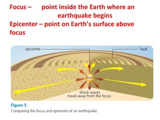
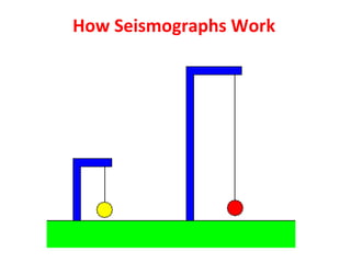
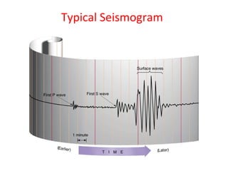
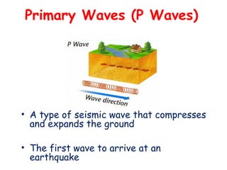
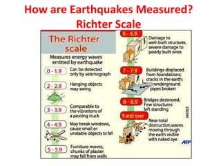
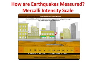
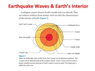
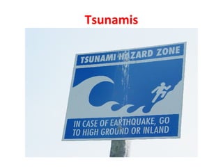

The document discusses earthquakes, explaining their causes, types, and measurements, including the use of seismographs and scales like the Richter and Mercalli. It highlights the devastating impact of major earthquakes, particularly in regions like Japan and India, and emphasizes the inevitability of such natural calamities. The conclusion suggests that while earthquakes cannot be prevented, future scientific advancements may provide remedies.


