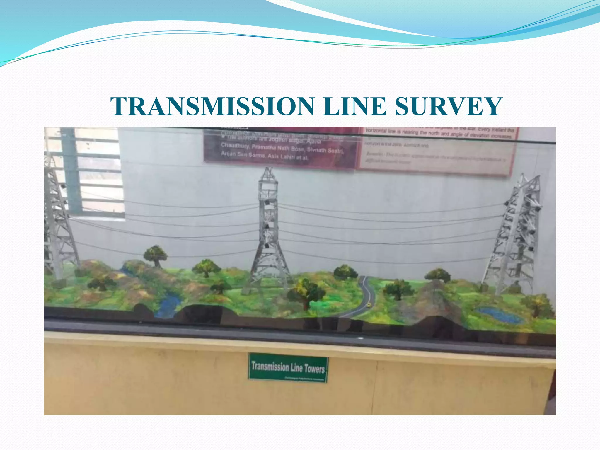
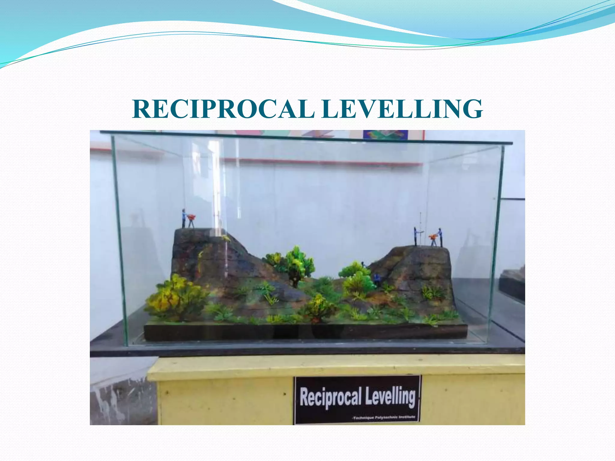
This document discusses various types of land and engineering surveys. It begins by introducing Dr. Radhanath Sikdar, a famous Indian surveyor born in 1813 who measured the height of Mount Everest. It then lists the names and contact details of the team members who prepared the document. The document goes on to describe different types of surveys including coal mine surveys, hydrographic surveys, reciprocal leveling, contour mapping, and transmission line surveys. It concludes by thanking the reader and offering to answer any additional questions.


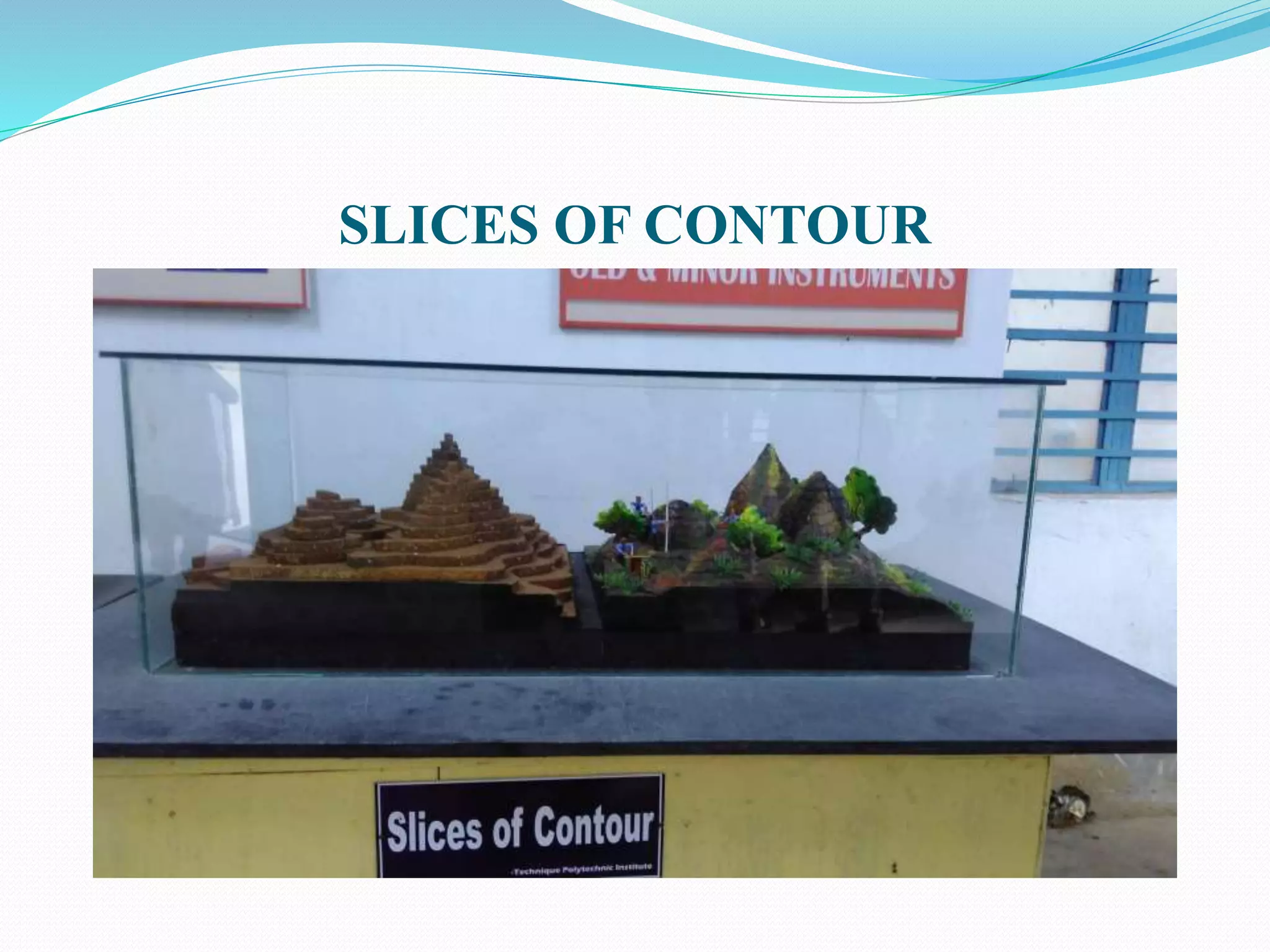
![ABOUT SLICES OF CONTOUR
Contouring is a makeup technique that uses cosmetics to
define, enhance and sculpt the structure of the face[1] or
other body parts, such as breasts.[2]
Contouring is usually produced by placing a warm or cool
toned colour that is one or two shades darker than the skin
color in areas such as in the hollows of the cheeks, on the
side of the nose, and on the temples to give a shadow and
slimming effect. It can be complemented with a highlighter
that is one or two shades lighter than the skin color on
areas of the face that is more prominent such as on the
apples on the cheeks and the tip of the nose or the t-zone.](https://image.slidesharecdn.com/dr-170505114911/75/Dr-radhanath-sikdar-Edit-Saklin-Mondal-16-2048.jpg)