Download to read offline
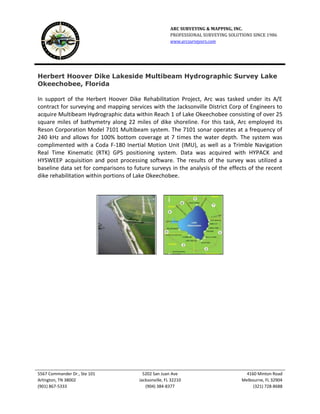
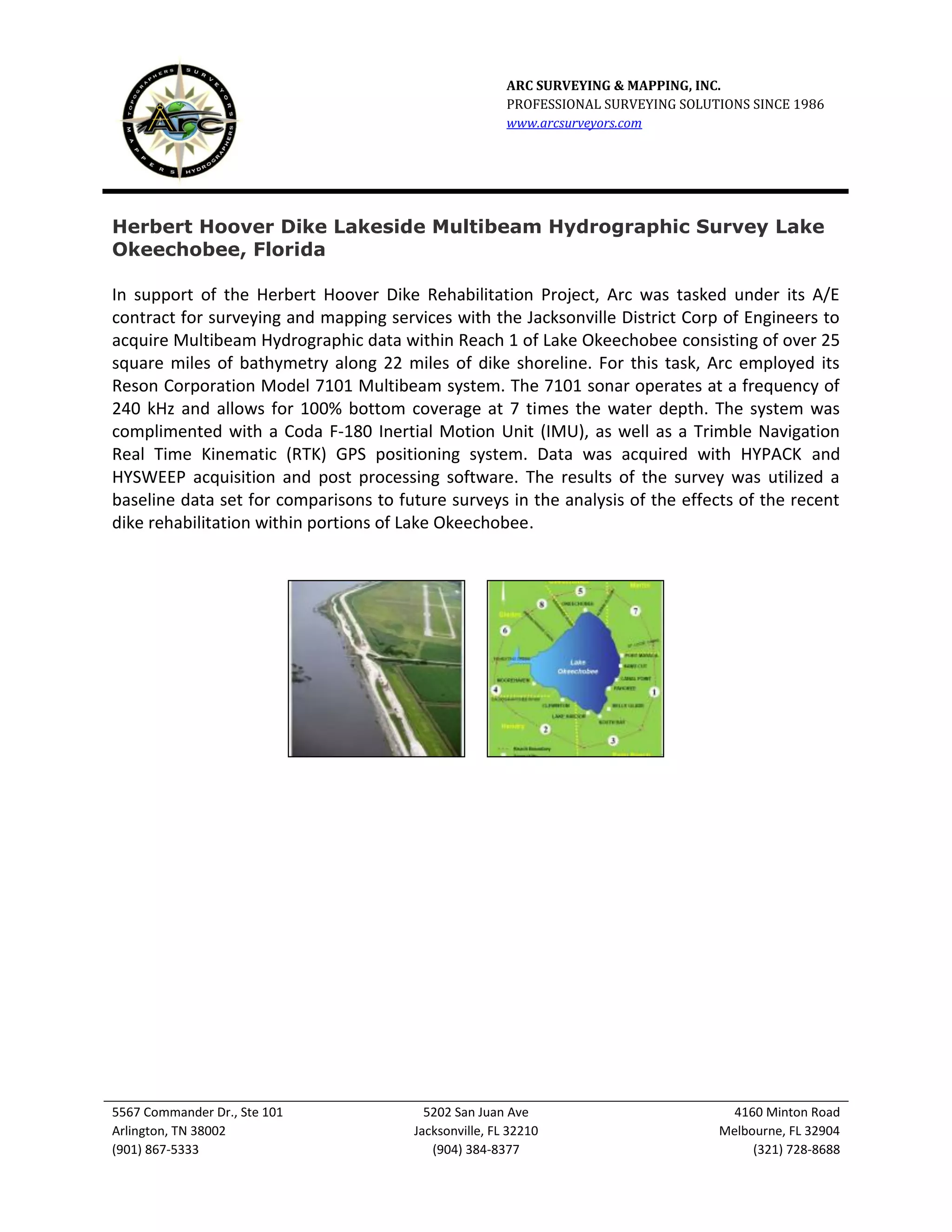

Arc Surveying & Mapping was tasked by the Jacksonville District Corp of Engineers to acquire multibeam hydrographic data of over 25 square miles of Lake Okeechobee along 22 miles of shoreline. Arc employed a Reson Corporation 7101 Multibeam sonar system, Coda F-180 IMU, and Trimble RTK GPS to map the lake bottom. The data was collected and processed using HYPACK and HYSWEEP software. The results provided a baseline data set to analyze changes from future surveys assessing the rehabilitation of the Herbert Hoover Dike within Lake Okeechobee.


