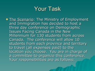
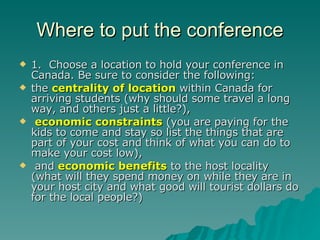
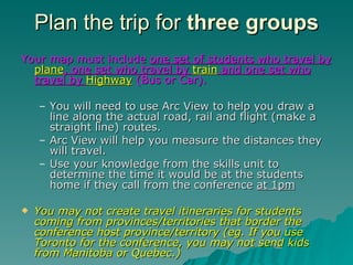
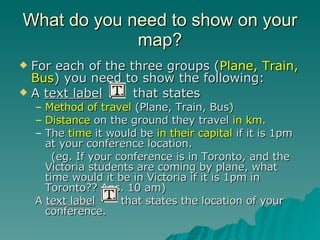
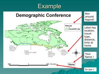
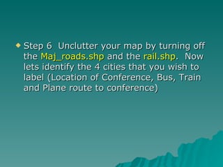
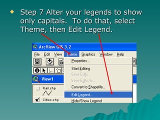
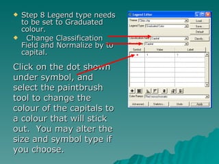
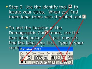
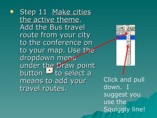
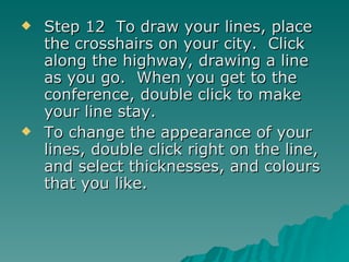
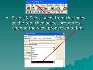
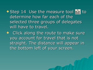
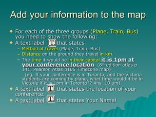
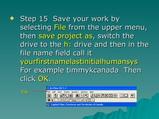
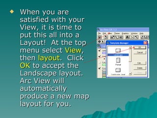
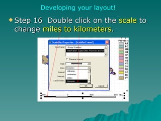
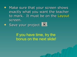
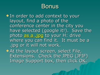
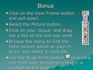
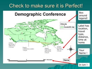
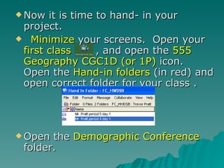
The document provides instructions for students to use GIS software to create a map showing travel routes and distances for three groups of students attending a demographic conference in Canada. Students must choose a conference location and plan routes for groups traveling by plane, train, and bus, showing the distance, travel method, and local time for each home province/territory if the conference is at 1pm. The task requires using skills learned in an earlier unit to complete the map and submit it for grading.


](https://cdn.slidesharecdn.com/ss_thumbnails/paseoporelmundo1dolores-1215008674246210-9-thumbnail.jpg?width=640&height=640&fit=bounds)