Download to read offline

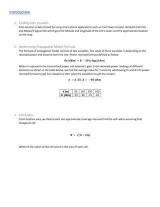

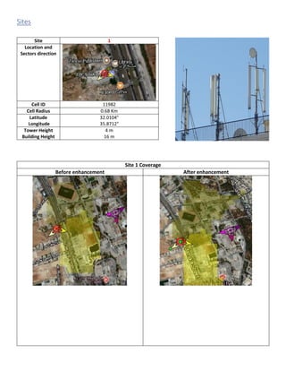

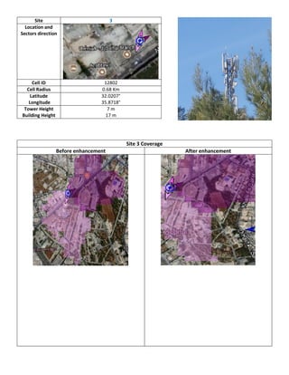
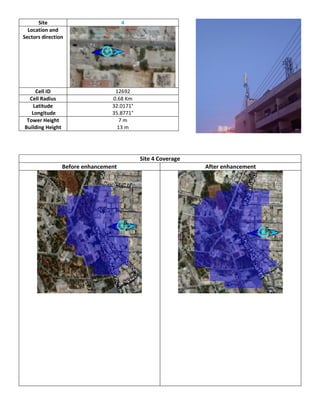
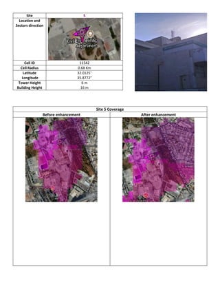
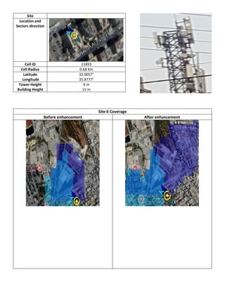


1. The document discusses a cellular network coverage analysis for the University of Jordan campus. It identifies 6 cell tower sites using mobile apps and determines their coverage radius and locations. 2. It uses a propagation model formula to calculate the path loss exponent and transmission power based on received signal power measurements at different distances. 3. Coverage maps of each site and the full campus are shown before and after a proposed enhancement to the network.