Download as PDF, PPTX
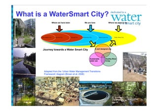
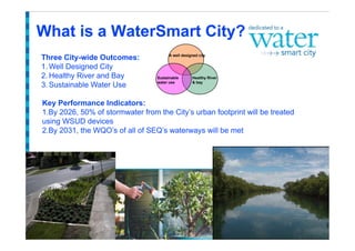
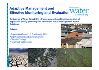
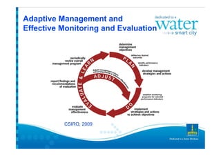
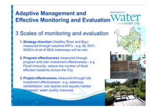
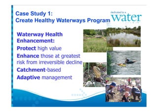
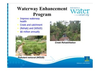
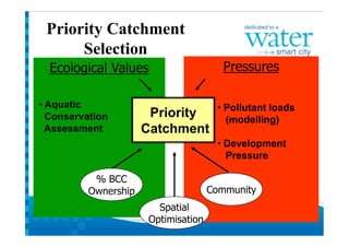
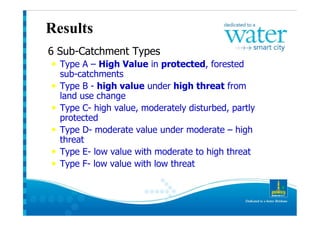
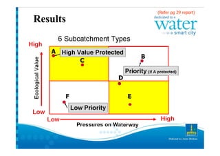
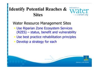
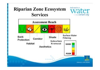
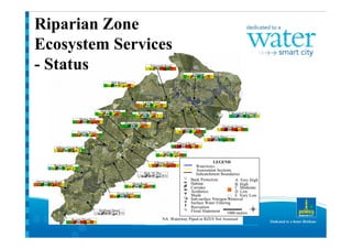
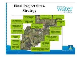
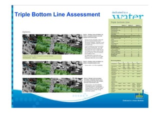
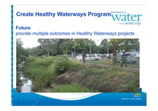
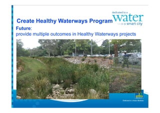
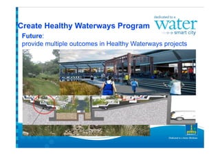
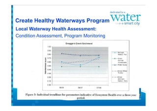
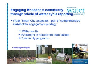
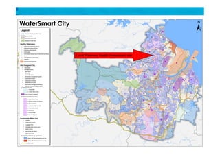
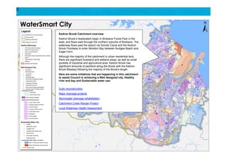
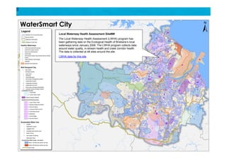
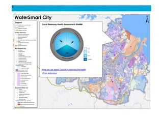

Paul McAntee of Brisbane City Council discusses transitioning Brisbane toward becoming a more water smart city. The document outlines Brisbane's journey from a water supply city to its current state and goals of a sustainable, healthy river and bay. It discusses key performance indicators and programs to improve water management, including creek rehabilitation, stormwater drainage projects, and a local waterway health assessment program.


![5G Explained! A High Level Overview [Introduction]](https://cdn.slidesharecdn.com/ss_thumbnails/5gexplainedahighleveloverview-260119165306-cc137a3e-thumbnail.jpg?width=640&height=640&fit=bounds)


