Downloaded 131 times
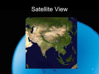
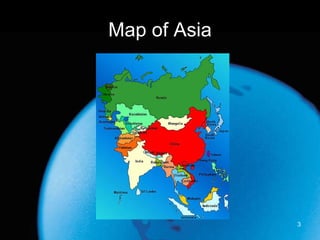
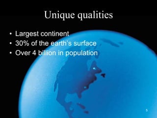
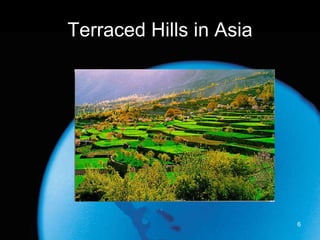
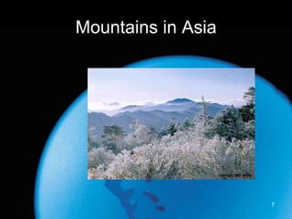
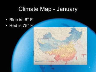


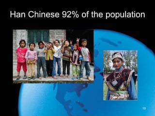

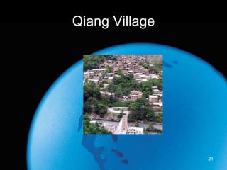
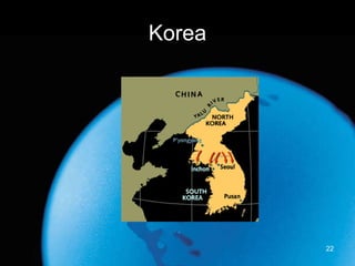
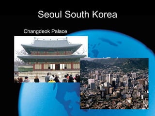


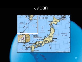


This document provides an overview of the key geographic features and population demographics of Asia. It notes that Asia is the largest continent, covering 30% of the Earth's surface and home to over 4 billion people from many diverse cultures and ethnic groups. The document highlights some of Asia's major physical features, including its large mountain ranges, rivers, deserts, and varying climate zones. It also profiles several important cities and countries within Asia like Shanghai, Korea, Japan, and their unique characteristics.


