Download to read offline
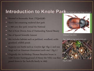
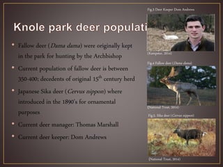


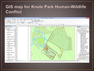


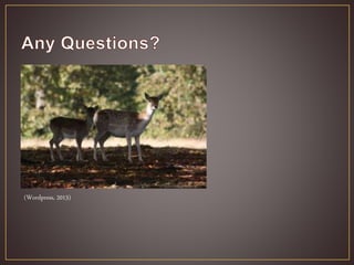

Knole Park is a 1,000 acre deer park located in Kent, England that is home to a population of 350-400 fallow deer and Japanese sika deer. Deer-human conflicts at the park include public feeding of deer, dogs harassing deer, and deer-vehicle collisions on roads within the park. Geographic information systems (GIS) can be used to map areas of high conflict such as roads, identify mitigation strategies like establishing deer fencing, and monitor deer movements to reduce human-wildlife conflicts at Knole Park.


