Download to read offline


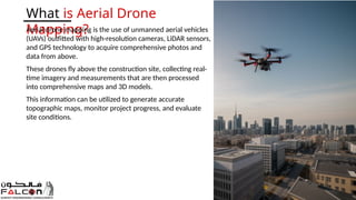


Aerial drone mapping significantly enhances construction efficiency by providing improved accuracy, faster data collection, and enhanced site monitoring. Using UAVs equipped with advanced technology, it reduces the time and costs associated with traditional surveying methods while ensuring better safety for workers. This technology also facilitates better collaboration among stakeholders through real-time data sharing and visualization.