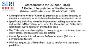
The document summarizes amendments made to the IMO CSS code regarding weather dependent lashing (WDL) operations. Key points:
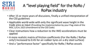
- The amended code provides a unified interpretation for reducing IMO accelerations during WDL based on significant wave height. This allows for lighter lashing in calmer seas.
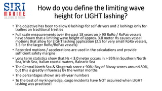
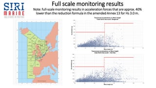
- Methods to define limiting wave height for light lashing include historical wave data for trade routes and real-time forecasting. Monitoring shows light lashing is safe below approx. 3m wave height.
- The amendments provide a standardized approach to WDL, allowing its increased use to improve efficiency while maintaining cargo safety. Proper implementation and monitoring are important to realize benefits while ensuring best practices.