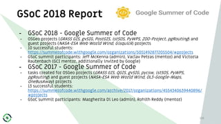
Download to read offline


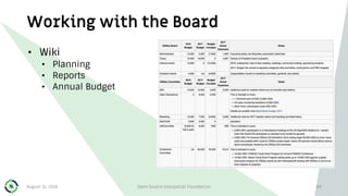
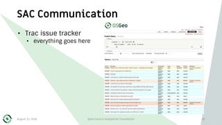
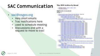
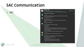
![OpenGeoScience Committee
95
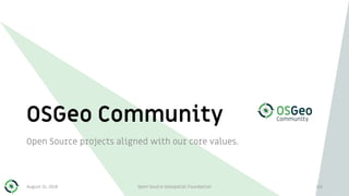
•Science Union reach out ({E|A}GU)
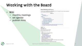
•Workshops,Townhalls, Reach out @ EGU General Assembly
•AGU events: BOF, meetings ([2012],2018?,..) (tentative)
•Open_Monitoring_Systems_Working_Group
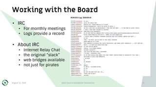
•open monitoring systems for in-situ earth observations.
•implementing joint programmes to advance the topic
•Software and Data Citation: persistent identifiers (tentative)
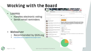
•Open Lunar Science Working Group (tentative)
Chairs: Peter Löwe & Massimiliano Cannata
Mailing list: opengeoscience@lists.osgeo.org
August 31, 2018 Open Source Geospatial Foundation](https://image.slidesharecdn.com/workingwithosgeocommunity-180831042724/85/Working-with-the-OSGeo-Community-95-320.jpg)


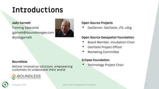
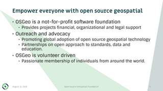
The document discusses the Open Source Geospatial Foundation (OSGeo), a not-for-profit organization that supports open source geospatial software and technology. It emphasizes the community-driven nature of OSGeo, encouraging participation and collaboration among members worldwide while highlighting its projects, local chapters, and governance structure. The document also outlines activities, membership dynamics, and the significance of open data, standards, and education in promoting geospatial technologies.