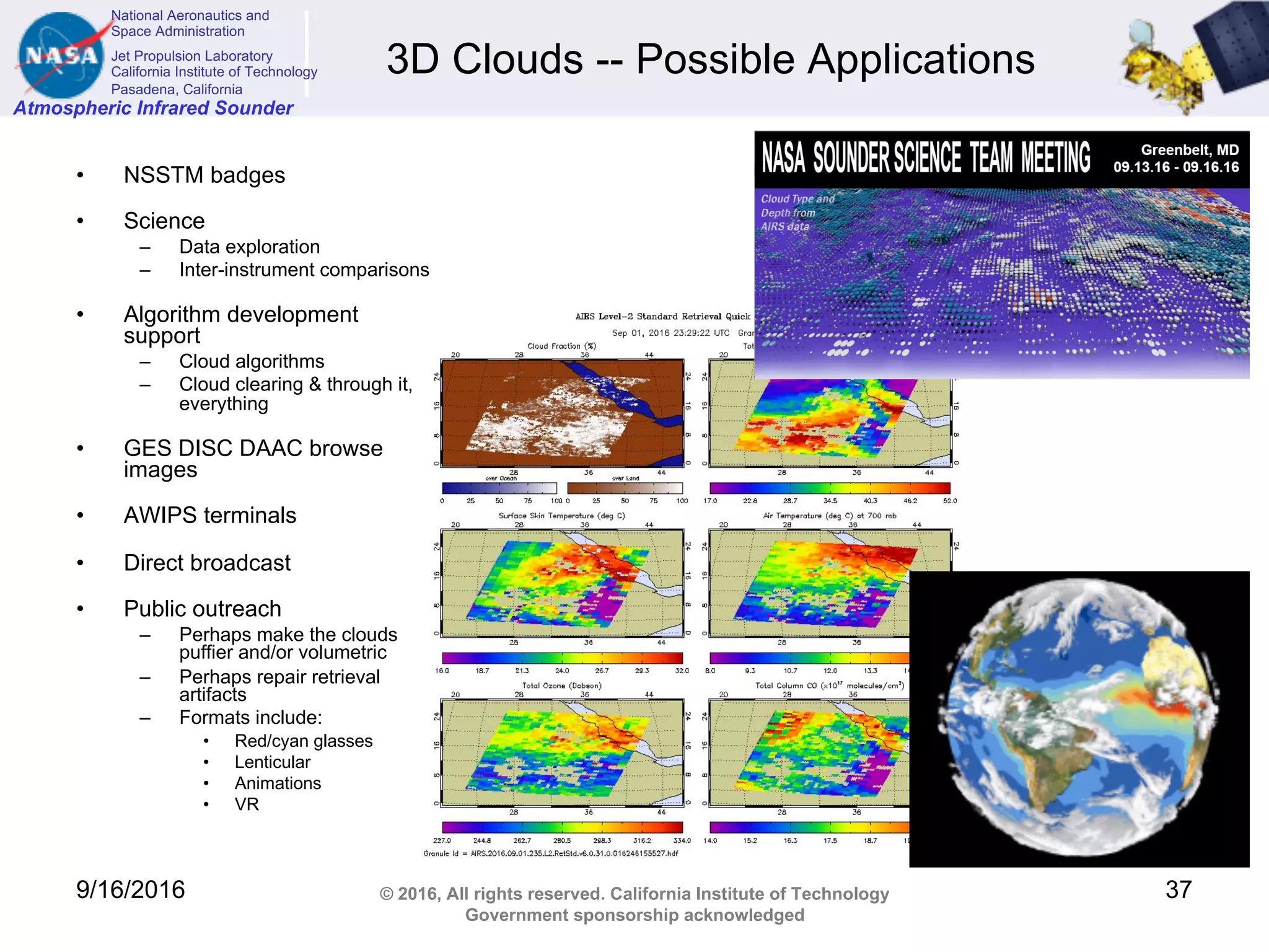
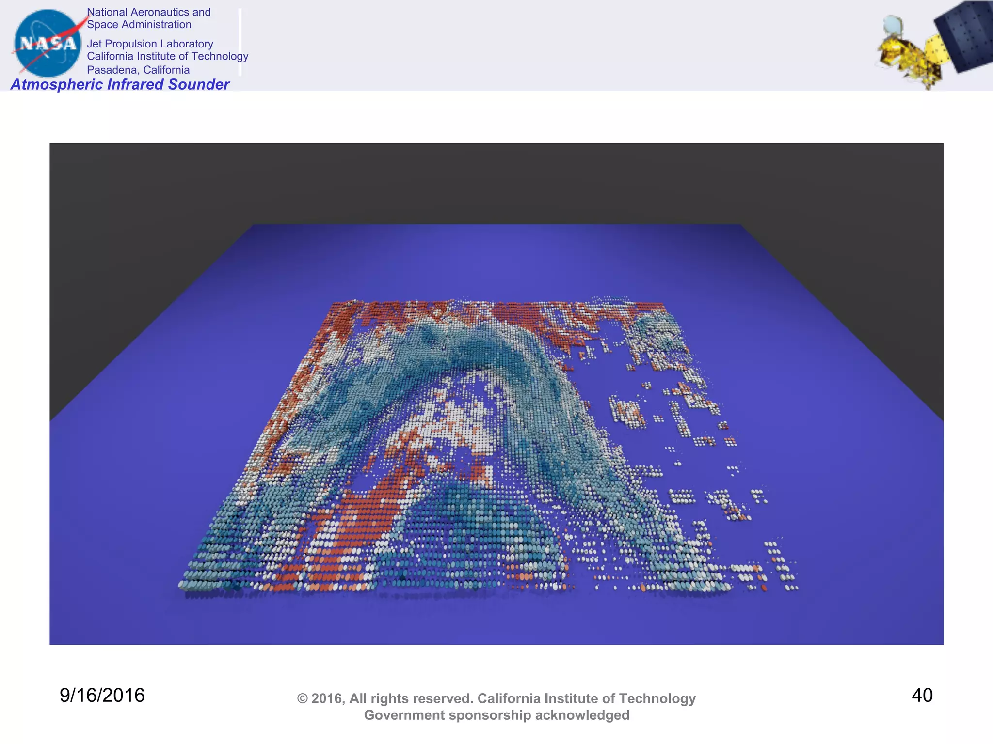
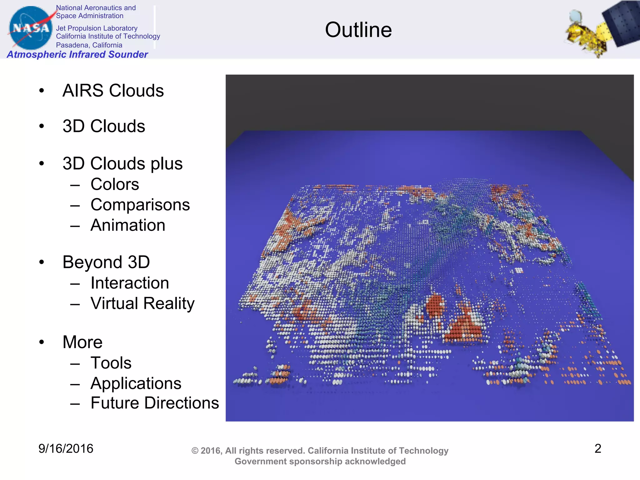
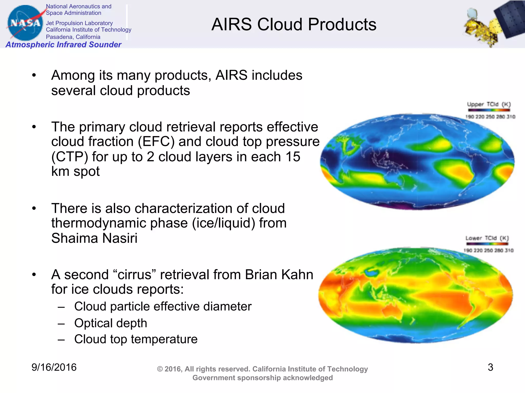
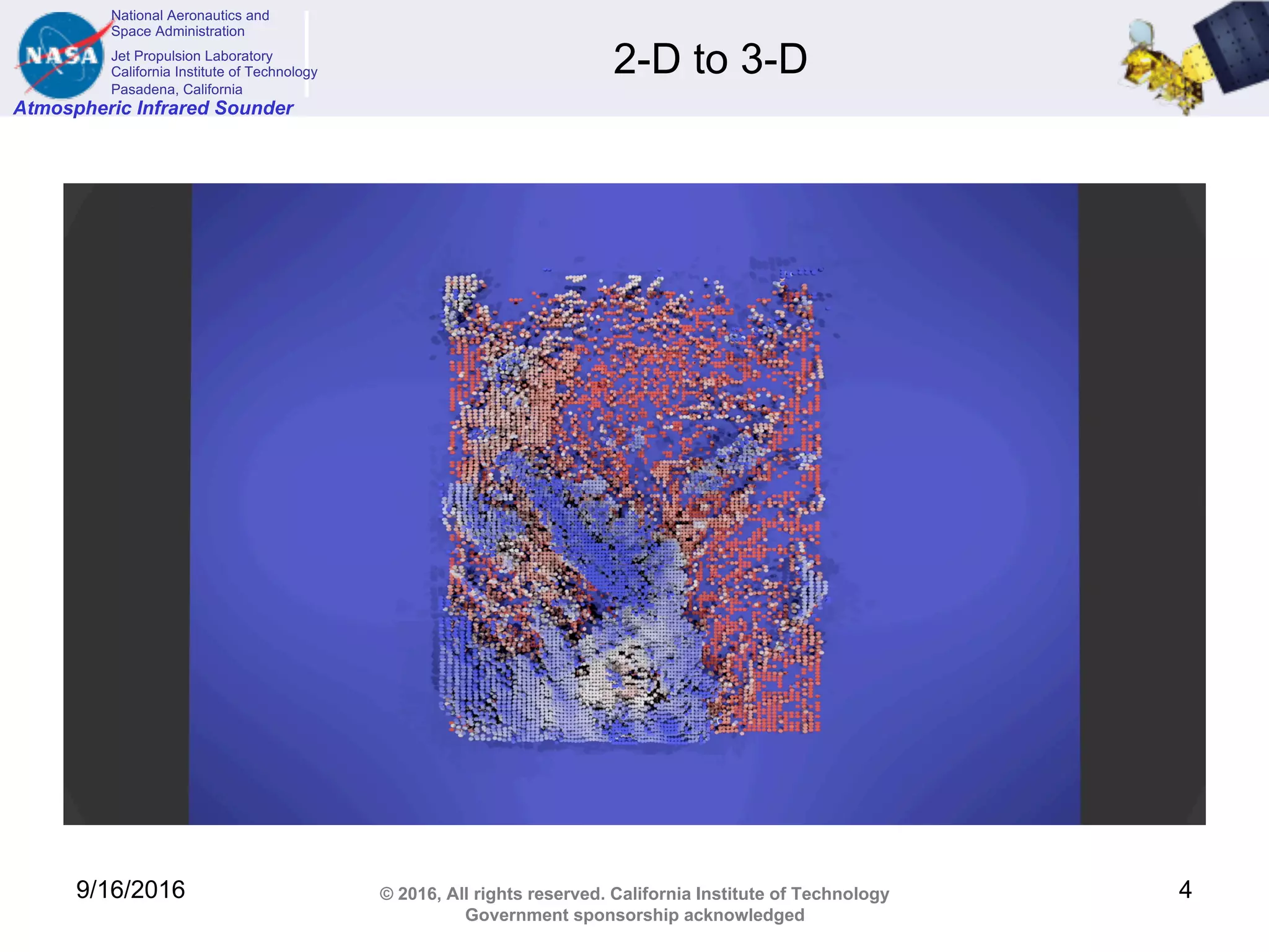
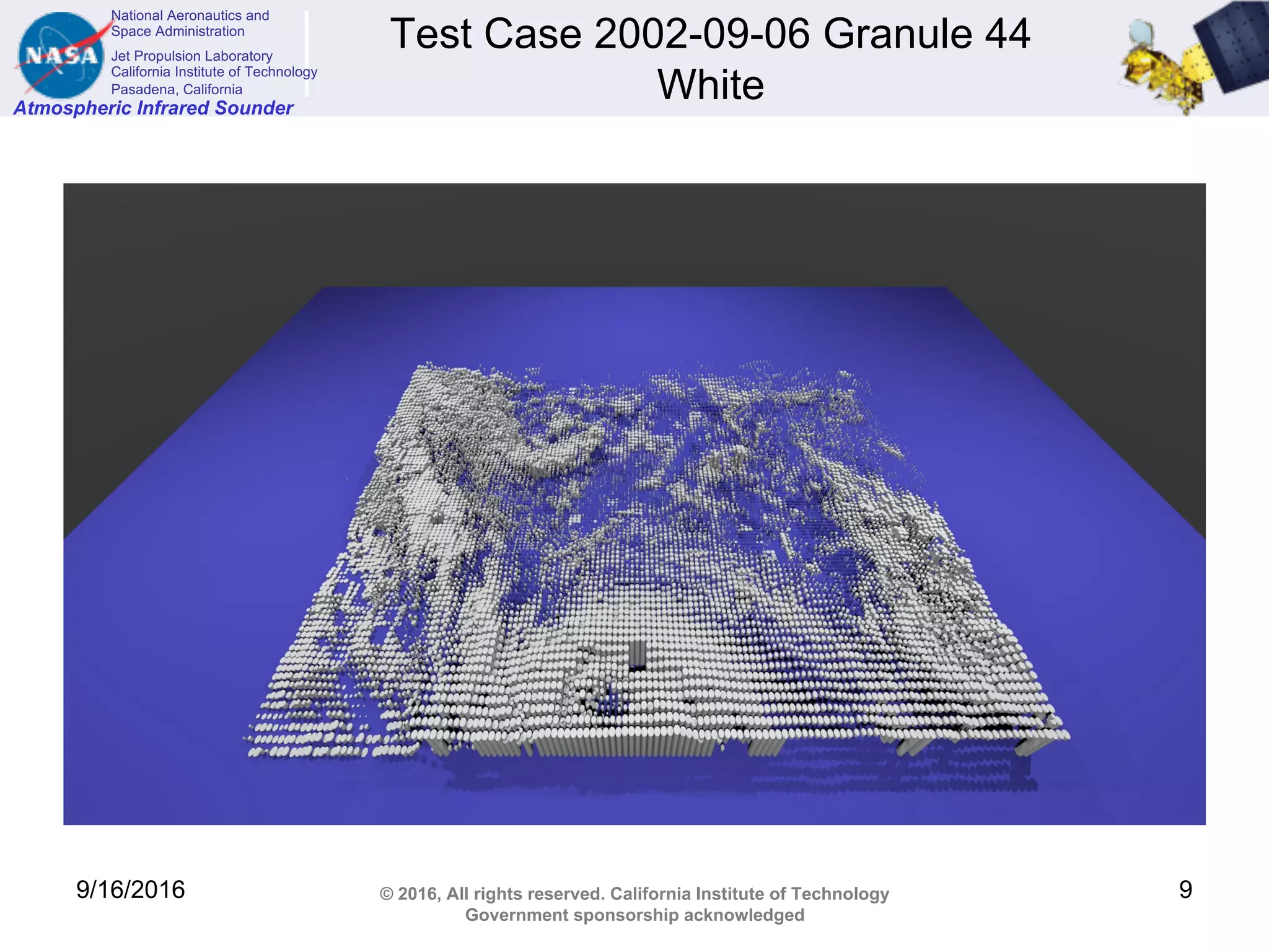
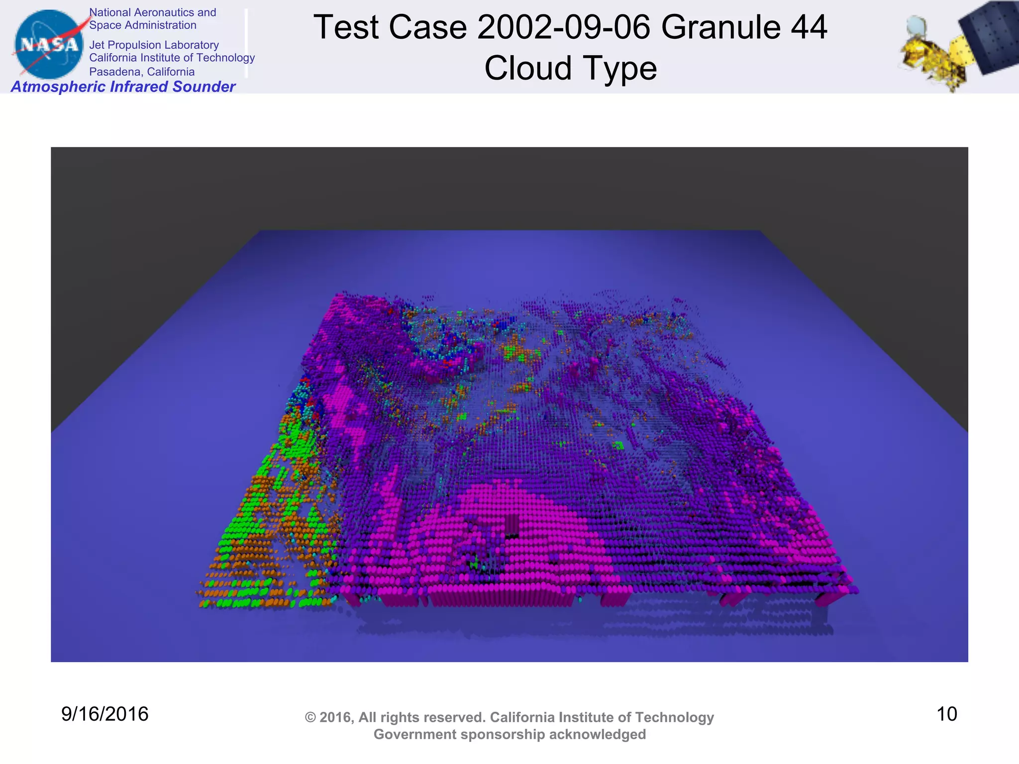
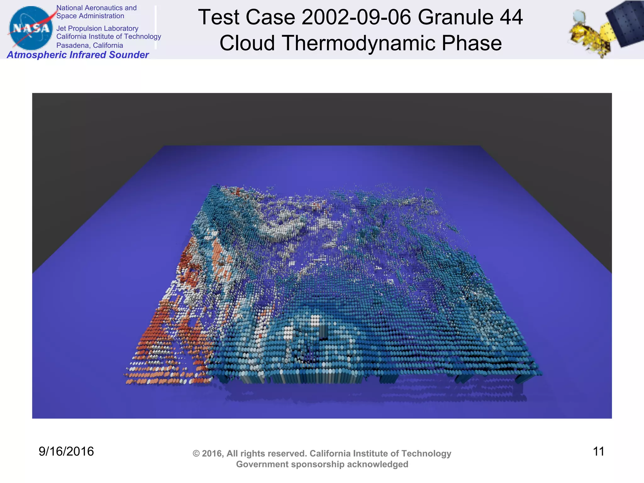
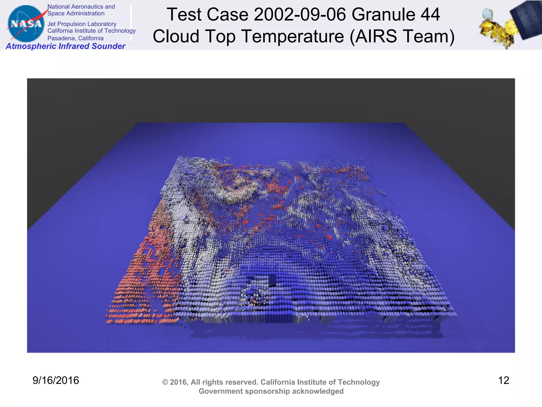
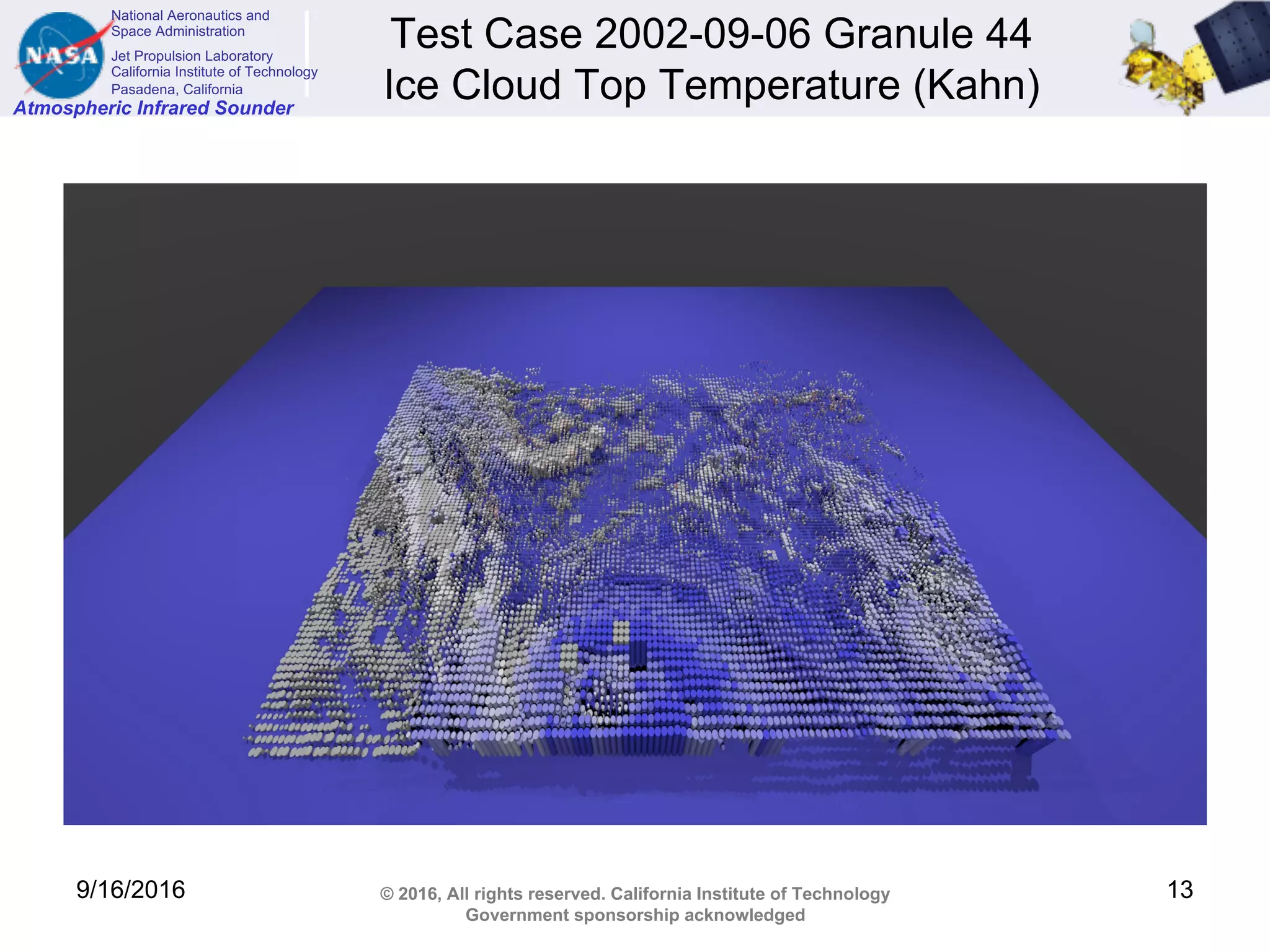
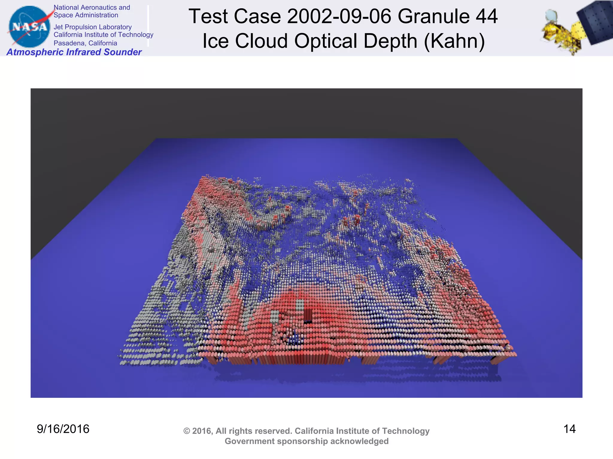
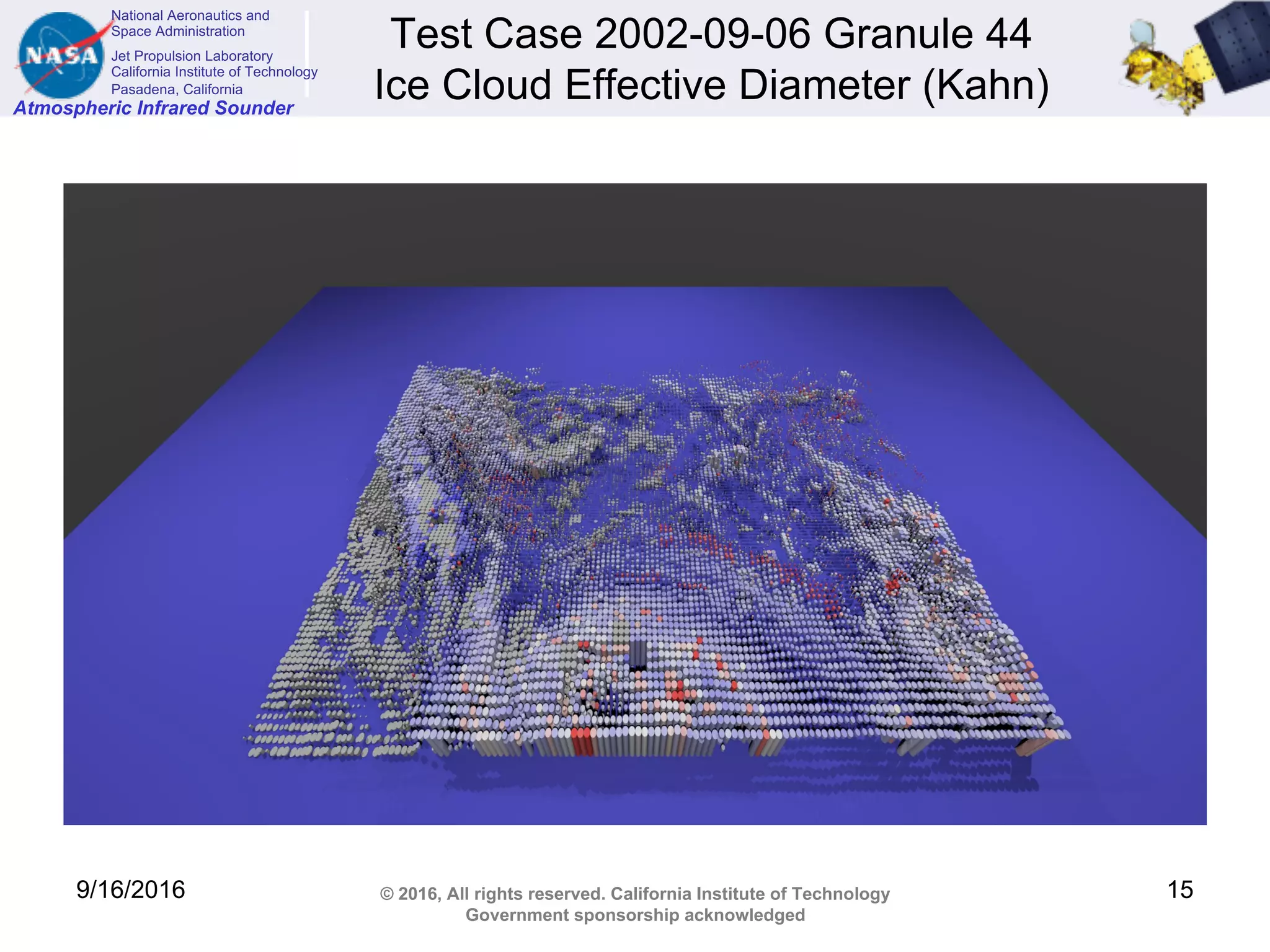
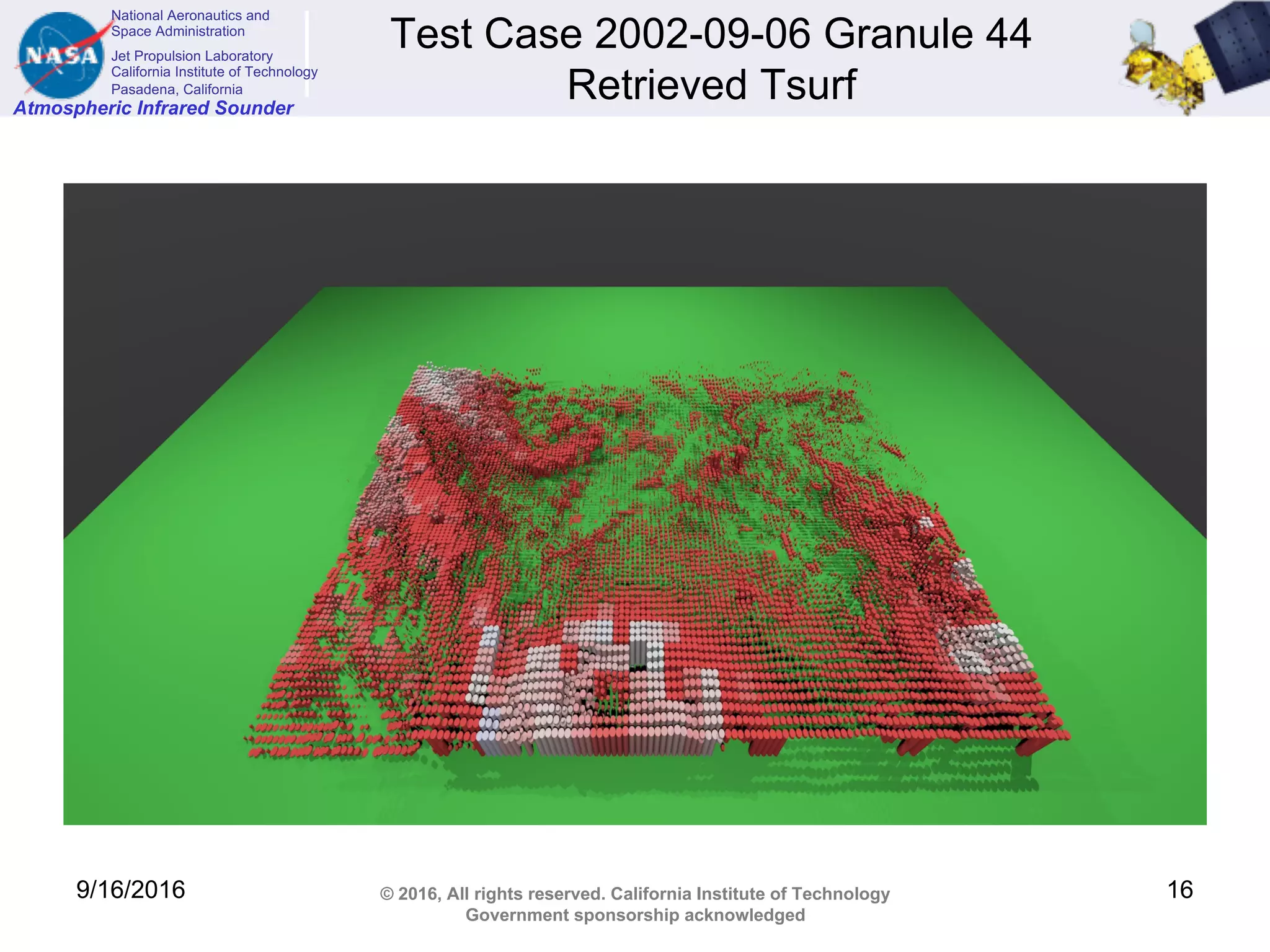
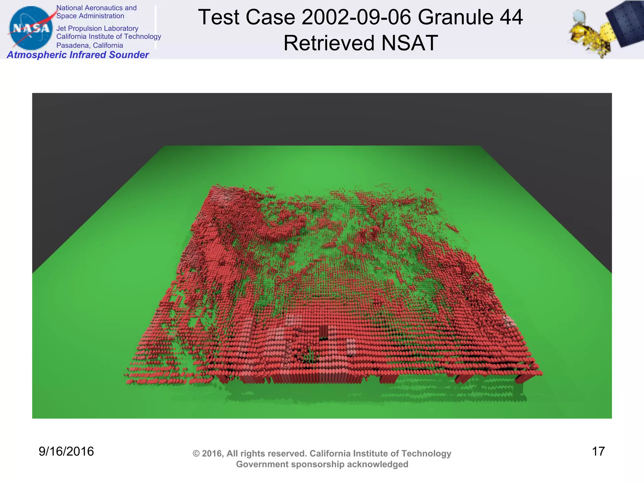
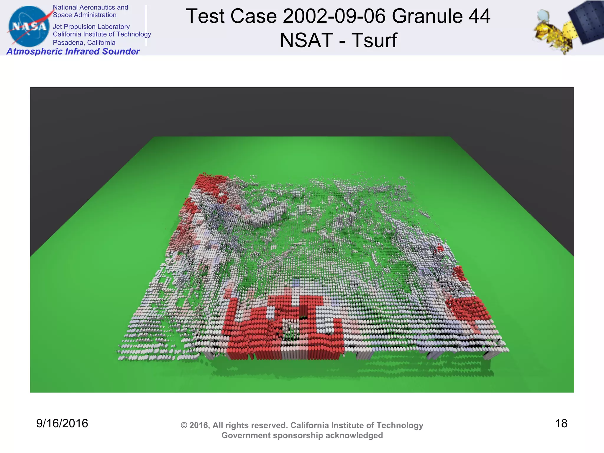
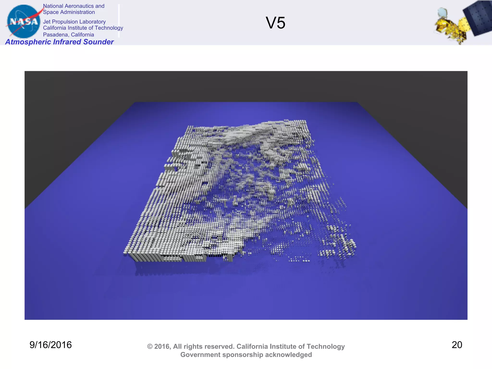
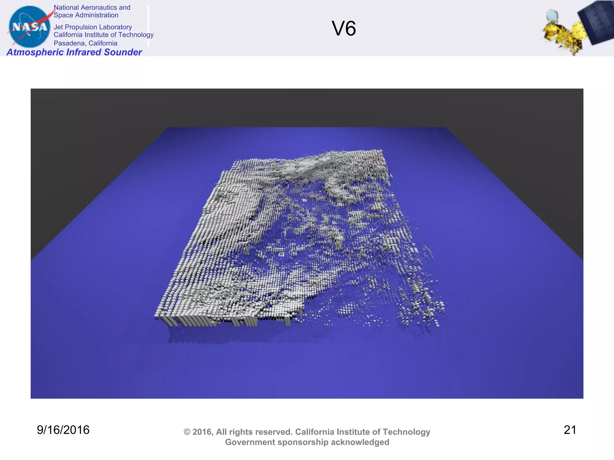
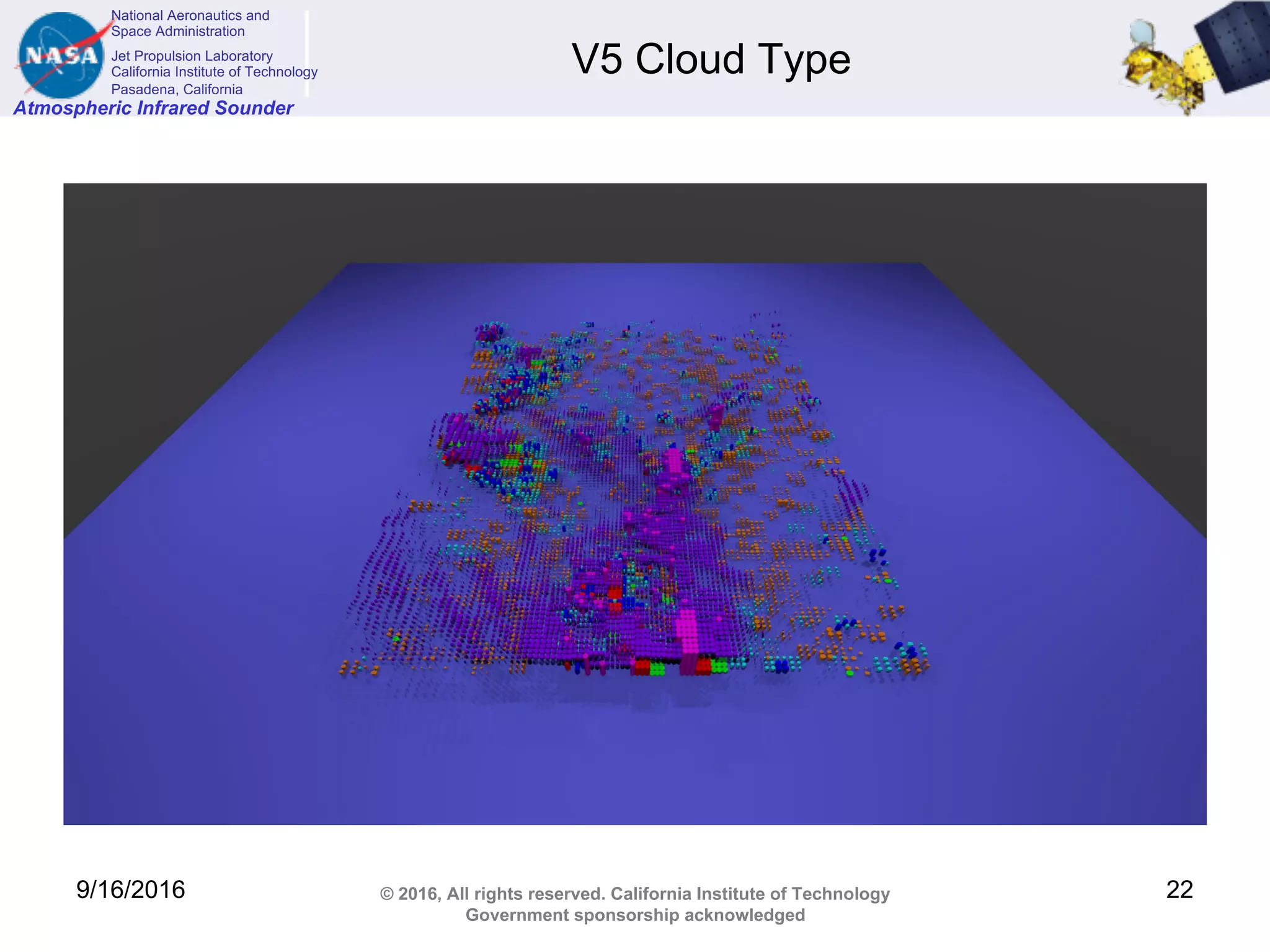
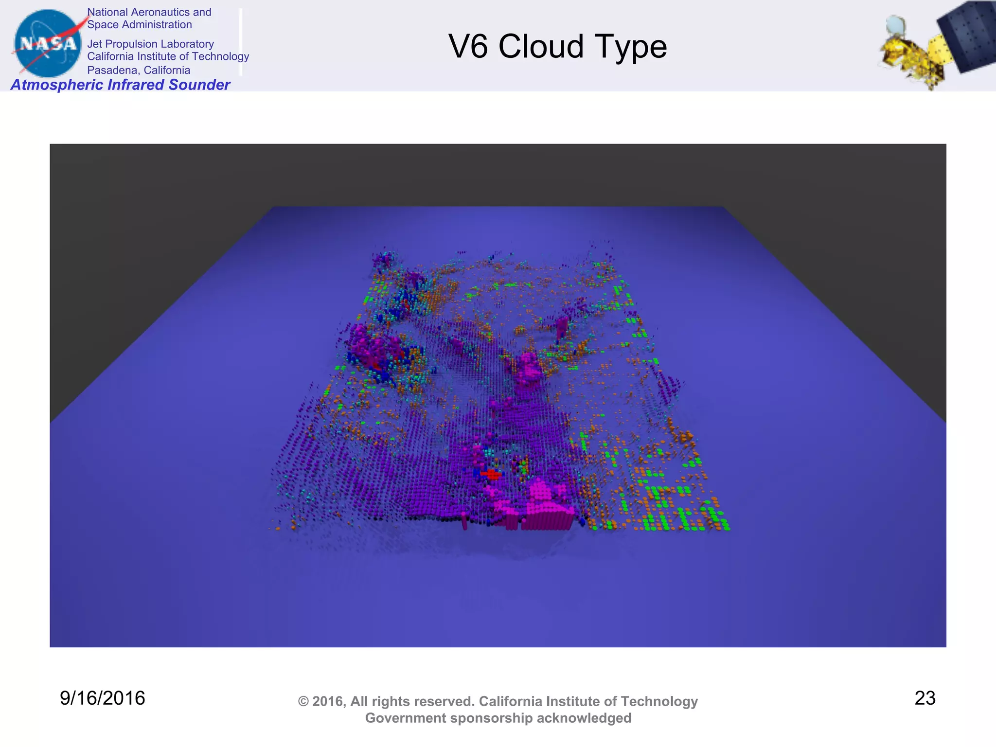
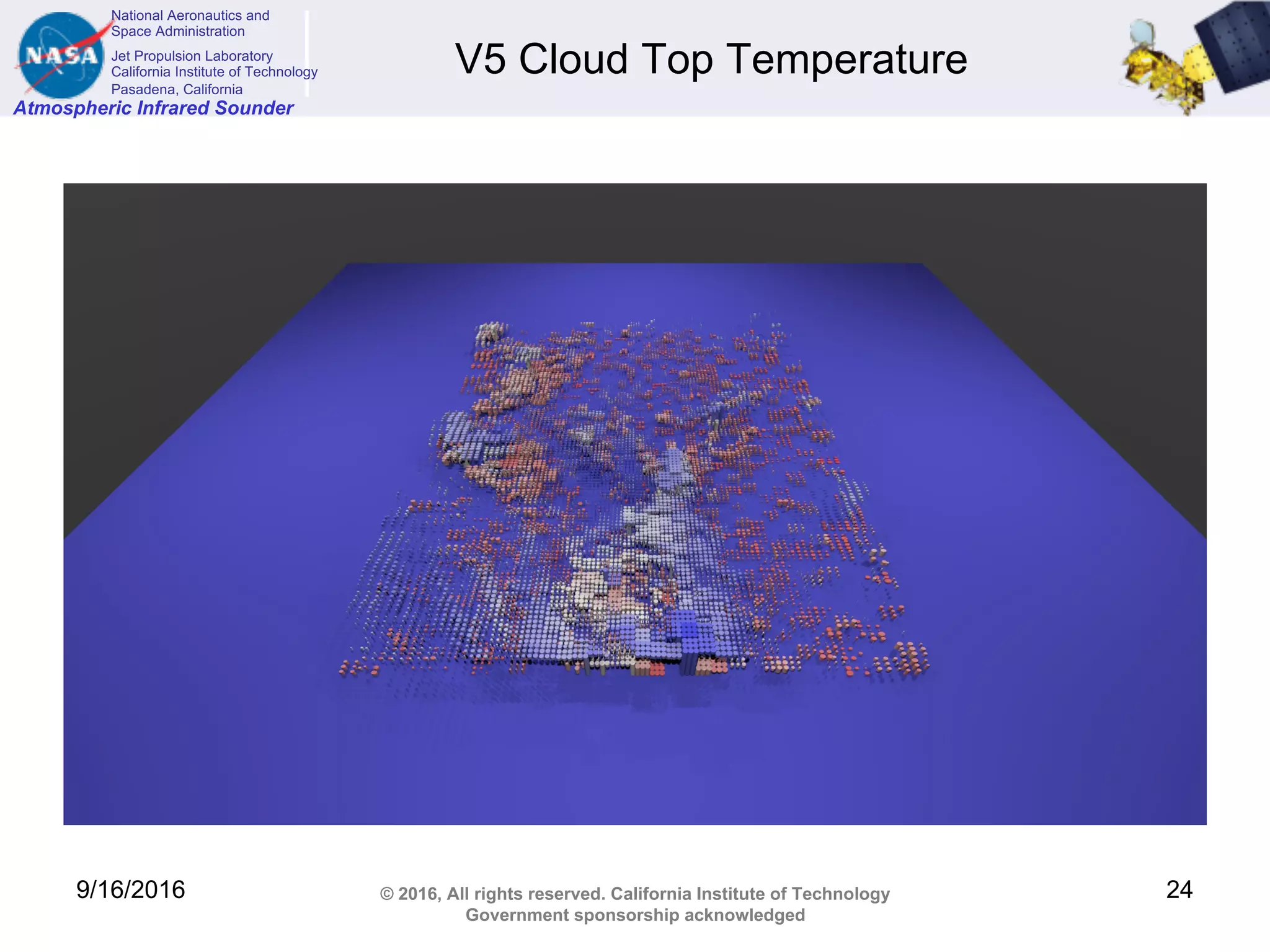
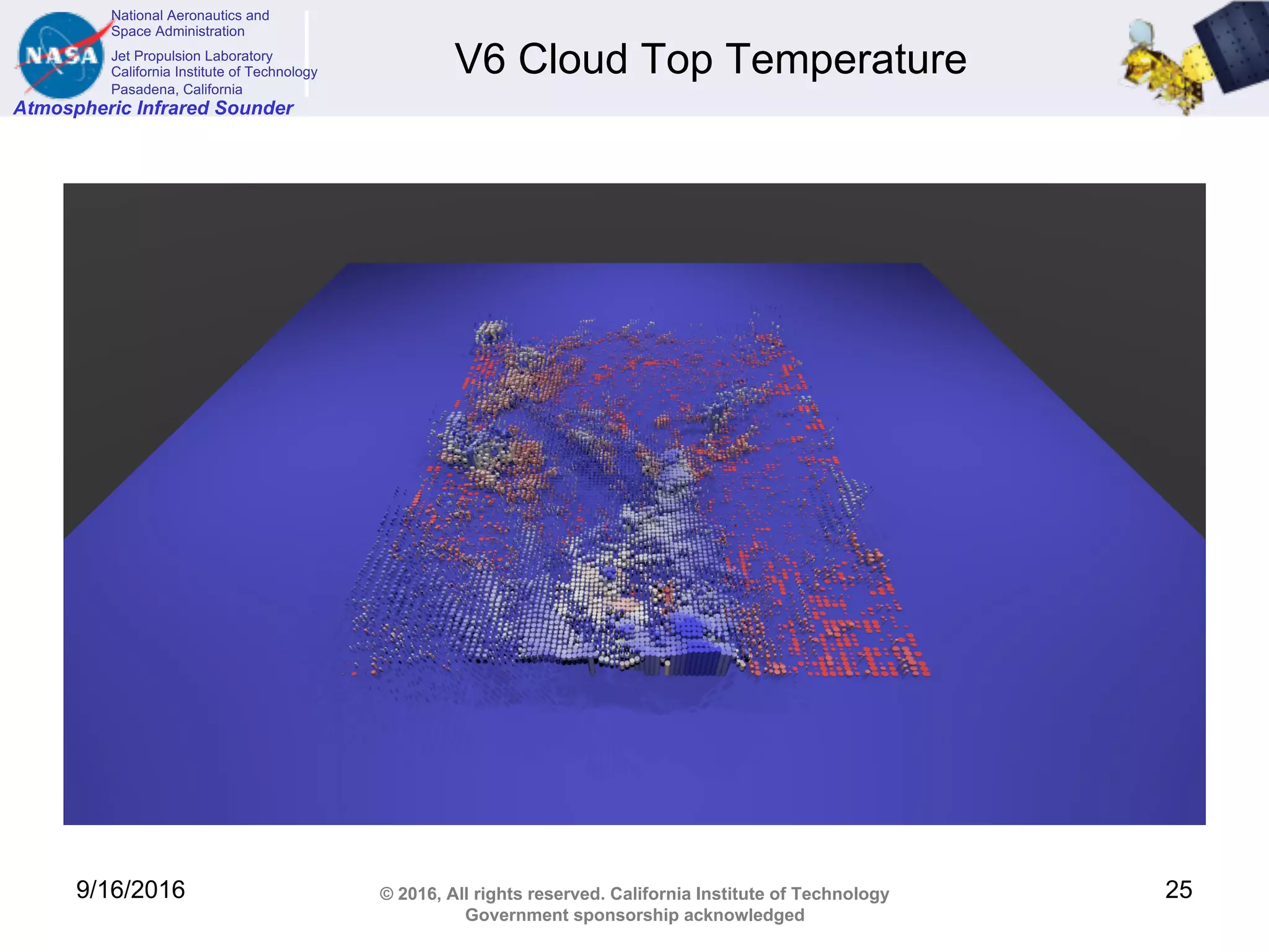
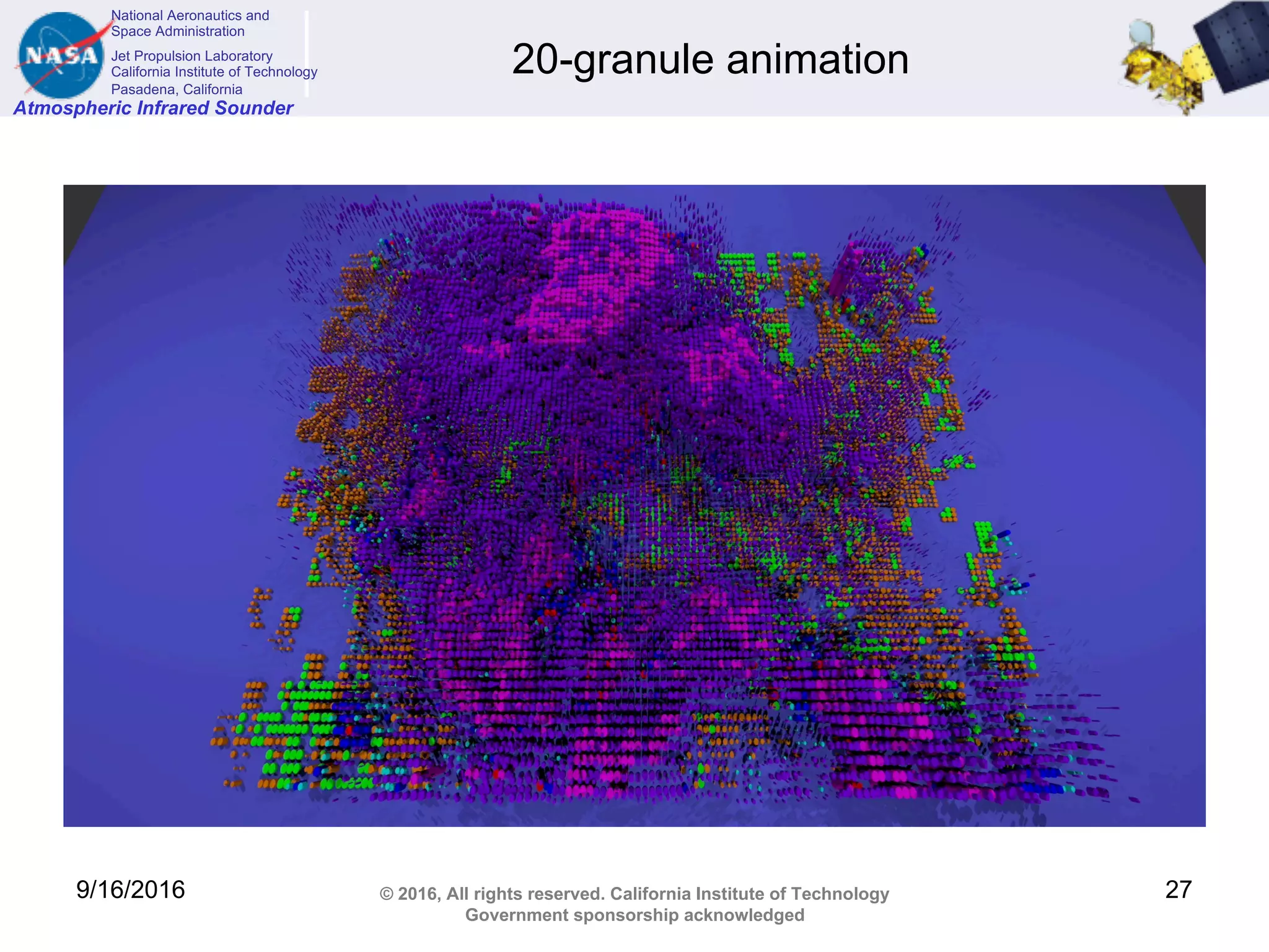
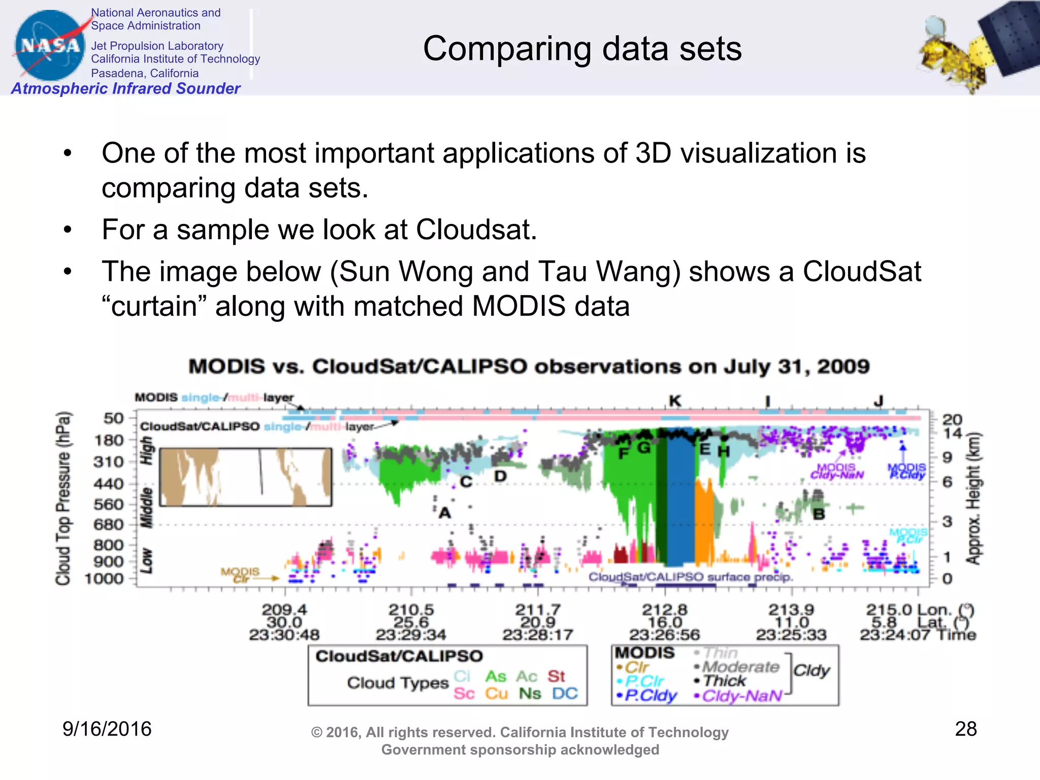
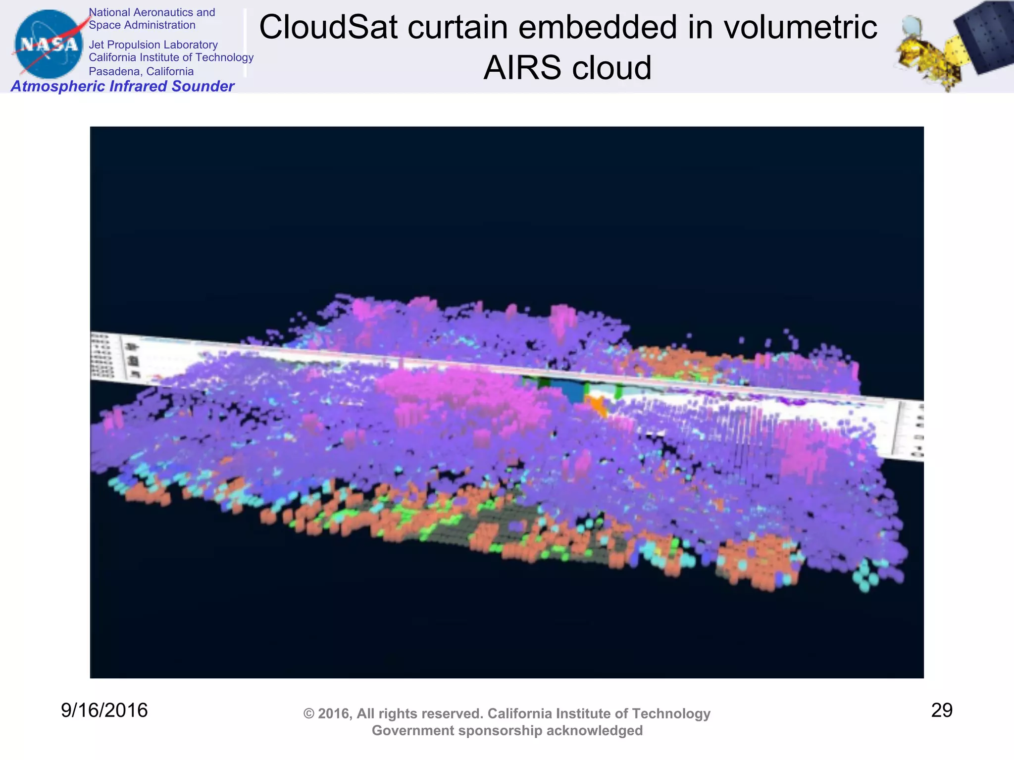
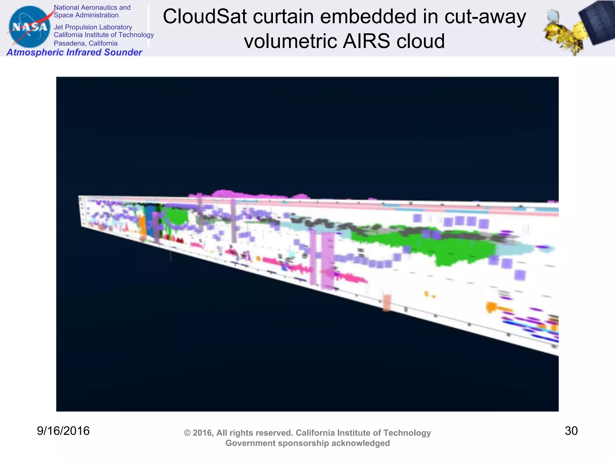
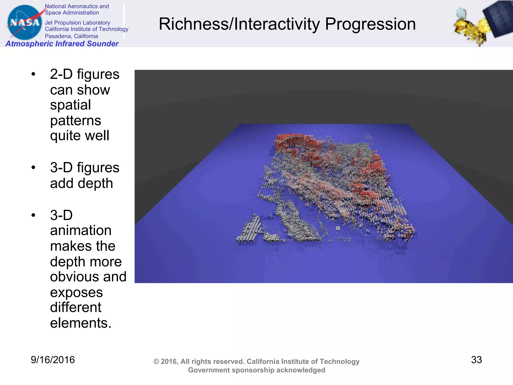
This document discusses visualizing cloud data from the Atmospheric Infrared Sounder (AIRS) instrument in 3 dimensions. It describes how AIRS measures cloud properties in each 15km field of view, but provides limited information about cloud structure. The document outlines a method for generating 3D cloud representations by assigning each cloud a shape, depth, and horizontal coverage based on AIRS measurements and other data. Color can also be used to represent different cloud properties. Examples of 3D clouds colored by various properties are shown and comparisons are made between older and newer AIRS cloud retrieval versions. The goal is to more fully characterize clouds and enable comparisons between datasets.
![National Aeronautics and
Space Administration
Jet Propulsion Laboratory
California Institute of Technology
Pasadena, California
Atmospheric Infrared Sounder
© 2016, All rights reserved. California Institute of Technology
Government sponsorship acknowledged
Tools
• Python is a modern language that is used here to read AIRS data and
create cloud objects for Blender.
• Blender is an open-source modelling program which has an embedded
interface to python. With that, it is possible to script the
modeling/creation of lights, objects, and cameras and create still and
dynamic renders
• Unity is a game engine which also comes with an IDE. Scripts can be
used to control properties such as a camera’s viewing angle from
sensor data of VR headsets.
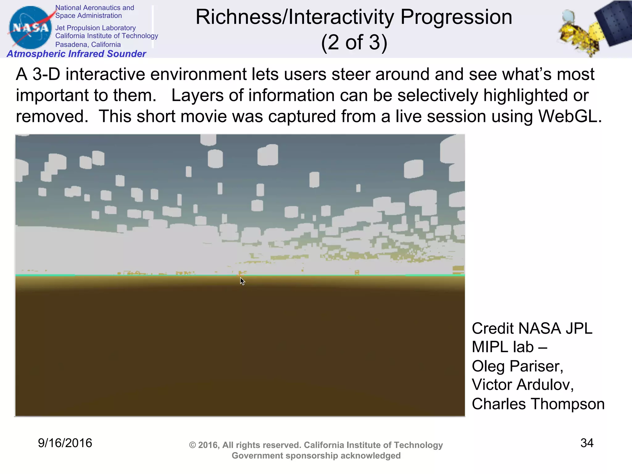
• WebGL (Web Graphics Library) is a JavaScript API for rendering
interactive 3D computer graphics and 2D graphics within any
compatible web browser without the use of plug-ins. [wikipedia]
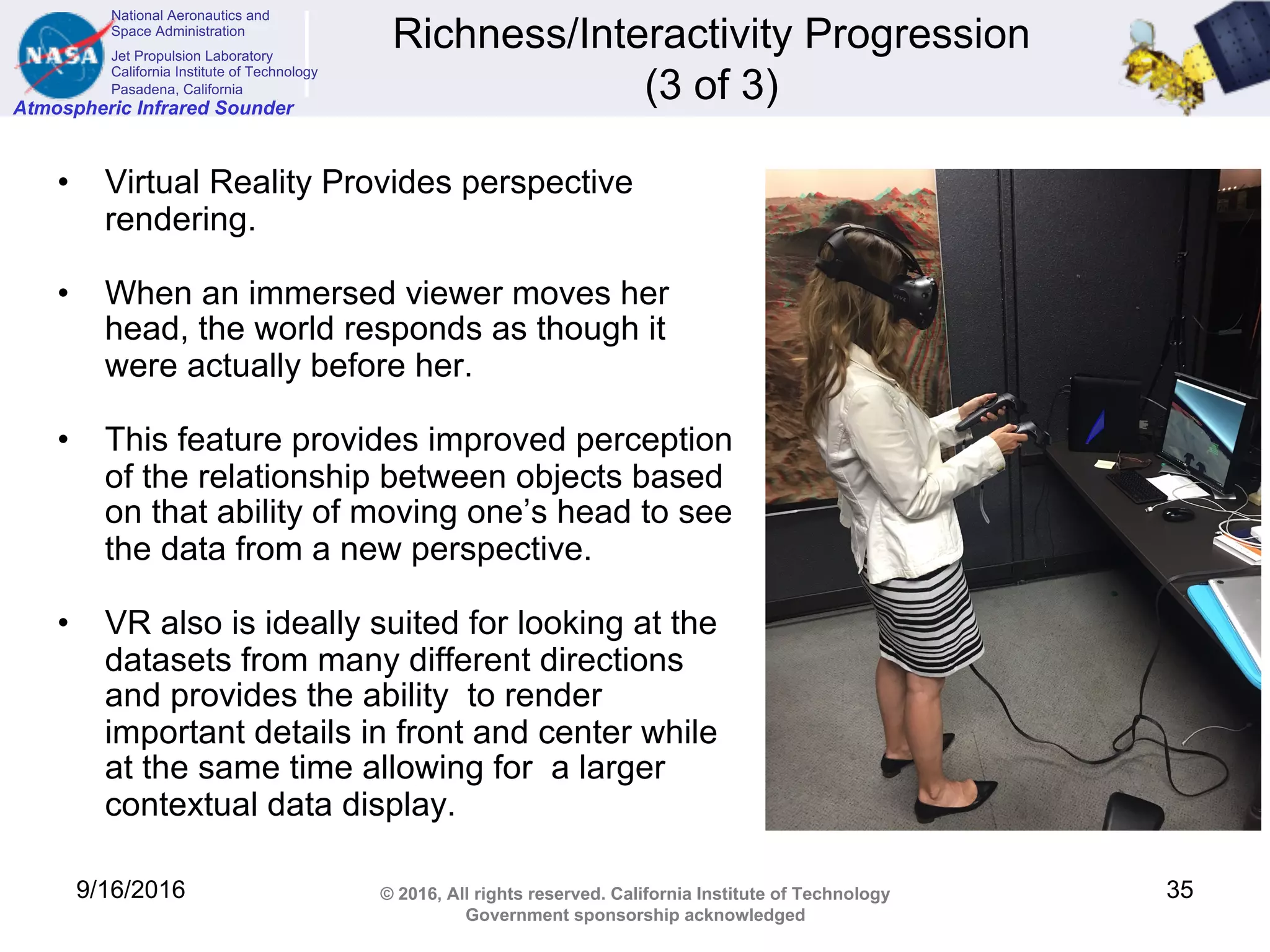
• VR hardware supported: Oculus Rift, HTC Vive, GearVR by Samsung
9/16/2016 36](https://image.slidesharecdn.com/4b91aef3-92cc-44c3-8f9b-1b3feb070182-160920201325/75/Manning_3D_Cloud_ASTM_Fall_2016-36-2048.jpg)