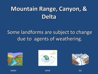
3. Predict how weathering will
change this mountain range.
Which agents of weathering might
work on these mountains?
How would changes to this
mountain range be reflected on a
map?
5. Predict how weathering will
change this canyon.
Which agents of weathering might
work on this canyon?
How would changes to this canyon
be reflected on a map?
7. Predict how weathering will
change this delta.
Which agents of weathering might
work on this delta?
How would changes to this delta be
reflected on a map?
Editor's Notes
Grand Teton National Park. View to northwest towards Teton Range. Teton County, Wyoming, 1958. Photo Courtesy of USGS Photo ID. Gaskill, D.L. 362ct
Digital Image Archive homepage : http://www.nps.gov/pub_aff/imagebase.html Public domain
U.S. Department of the Interior , U.S. Geological Survey , Gulf of Mexico Integrated Science URL of this page is: http://gulfsci.usgs.gov/missriv/aerials.html Public domain