Download to read offline


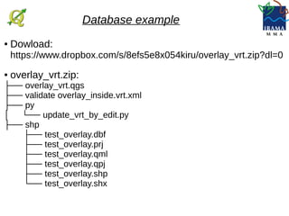
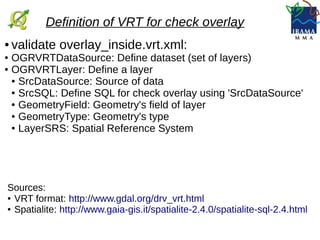
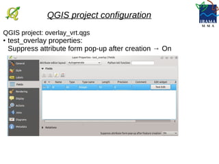

This document describes using a virtual layer in QGIS to validate overlay between geometries in a shapefile. It provides a zip file with a QGIS project, virtual layer XML file, and Python script. The virtual layer is defined to check for overlay between geometries using SQL. The QGIS project configures this layer. The Python script enables automatic updates to reload the validation layer whenever geometries in the source layer are edited.