Download to read offline
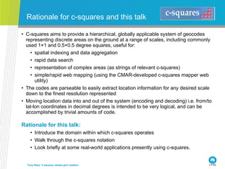
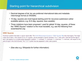


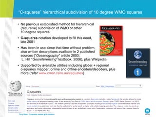

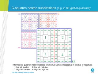

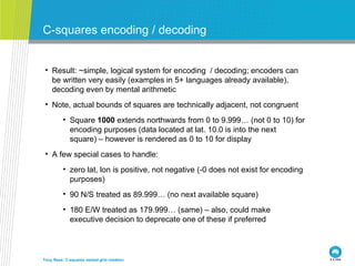


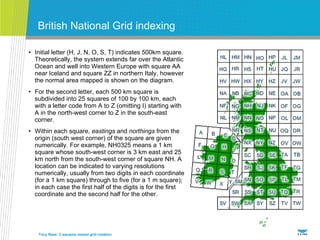

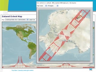

The document introduces the c-squares nested grid notation system for representing geographic locations. It begins with 10 degree global grid squares based on the WMO notation. The c-squares system then allows recursive subdivision of these largest squares down to finer geographic scales, represented as alphanumeric strings. These codes can be used to index, search, and map spatial data in a simple and logical way.


