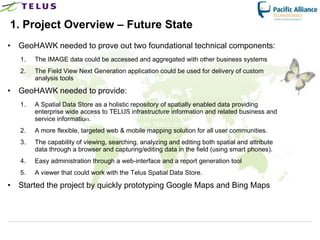
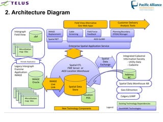
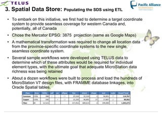
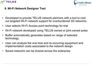
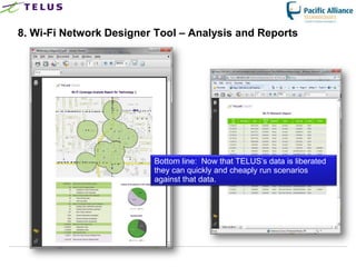
This document describes how TELUS implemented an iVAULT system to improve access to and use of their spatial data. Key points:
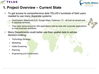
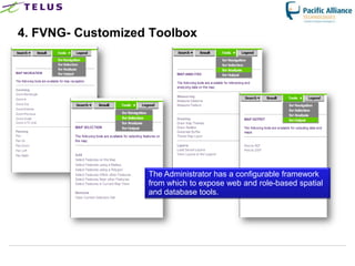
1. TELUS integrated their disparate GIS systems and data into a single iVAULT system with a spatial data store, allowing unified access for field users and departments.
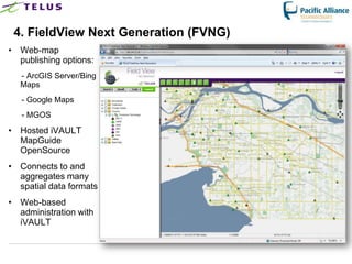
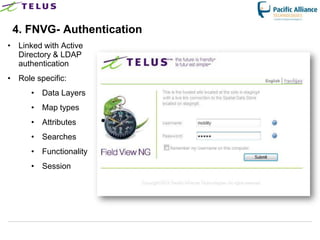
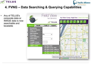
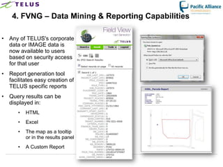
2. The iVAULT system included a new FieldView application for viewing, searching, analyzing and editing spatial and attribute data via web and mobile.
3. The spatial data store cleaned up TELUS' IMAGE database and consolidated over 1,000 design files, improving data quality and access.
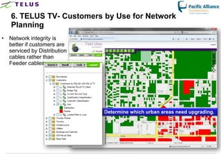
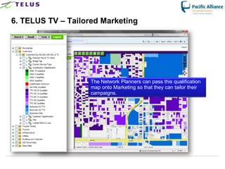
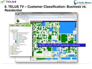
4. The unified system allows TELUS to better analyze customer and network data


![5G Explained! A High Level Overview [Introduction]](https://cdn.slidesharecdn.com/ss_thumbnails/5gexplainedahighleveloverview-260119165306-cc137a3e-thumbnail.jpg?width=640&height=640&fit=bounds)