Download to read offline

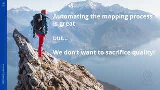
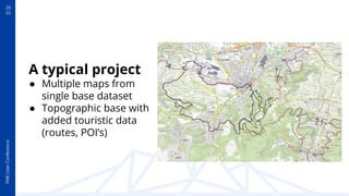
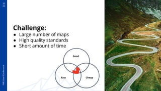
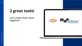

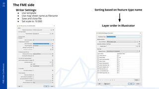
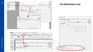
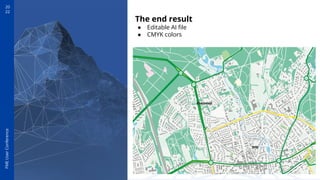
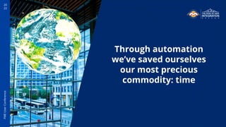
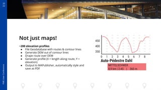
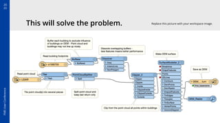
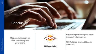

The document outlines a presentation deck for the FME User Conference 2022, emphasizing the importance of engaging storytelling in presentations. It details the collaboration between Mapublisher and FME Auto to enhance map production efficiency while maintaining quality. Additionally, it encourages attendees to automate their mapping processes using the featured tools to save time and reduce errors.


![Getting Started with Apache Spark: Big Data Made Simple [Free Meetup]](https://cdn.slidesharecdn.com/ss_thumbnails/apachesparkgettingstarted-260203175547-8361bcc3-thumbnail.jpg?width=640&height=640&fit=bounds)


