
Recommended
More Related Content
Viewers also liked
Similar to Hyderabad and parastatals
Similar to Hyderabad and parastatals (20)
More from krishnadutt1819
More from krishnadutt1819 (12)
Recently uploaded
Recently uploaded (20)
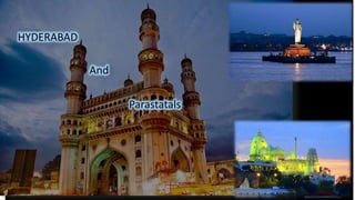
Hyderabad and parastatals
- 2. Introduction The Hyderabad Municipal Corporation was expanded in 2007 to form the Greater Hyderabad Municipal Corporation. The city is located on the banks of the Musi River on the Deccan Plateau. The population of the city is 6.8 million and that of its metropolitan area is 7.75 million, making it India's fourth most populous city and sixth most populous urban agglomeration. Hyderabad Hyderabad is the capital and largest city of the Indian state of Andhra Pradesh. It occupies 650 square kilometres.
- 3. Hyderabad is divided into five Zones, 18 circles and 150 wards for administrative Convinence. • South Zone • East Zone • West Zone • North Zone and • Central Zone
- 4. List of Parastatals in the city • HMDA • GHMC • AP emergency services • HMWSSB • MA&UD • APSHCL • APSMFC • Directorate of Economics and Statistics
- 5. HMDA (2008) GHMC (1869) AP emergency services HMWSSB (1989) DTCP (1920) APSHCL APSMFC Directorate of Economics and Statistics Urban planning including town planning Regulation of land-use and construction of buildings. Planning for economic and social development. Roads and bridges. Water supply Public health, sanitation and SWM Fire services Urban forestry, protection of the environment Safeguarding the weaker sections of society Slum improvement and upgradation Urban poverty alleviation Provision of urban amenities such as parks,grounds Burials and burial grounds Vital statistics street lighting, parking lots, bus stops etc