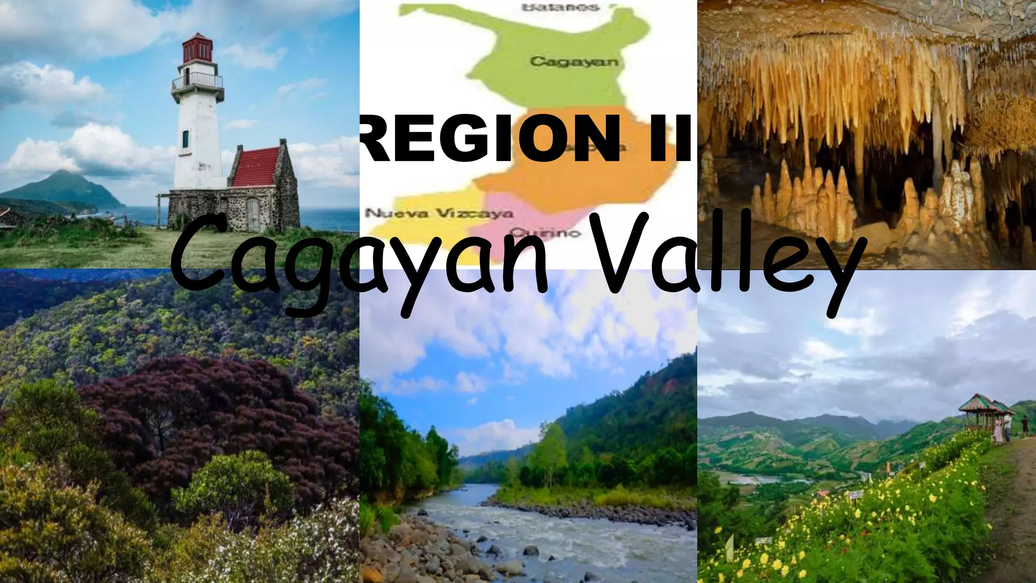
2. GEOGRAPHY
• Located in Northern- East section of the Philippines.
Region 2 or the Cagayan Valley
is strategically located in the
Northern- East part of mainland
Luzon. With a total land area of 26,
388 square kilometers. The Cagayan
valley is the second largest Region in
the Philippines.
The region is largely an
agricultural economy wit 37% of its
total land area dedicated to
agriculture production.
3. • The total of population of Region 2 as of year 2021is 5.2 million compared to year 2020 its
increase the no. of population from 3,451,410 to 5.2 million.
0
1,000,000
2,000,000
3,000,000
4,000,000
5,000,000
6,000,000
2020 2021
Series 1
4. THERE ARE FIVE PROVINCES NAMELY
•Batanes
•Province of Cagayan
•Isabela
•Nueva Vizcaya
•Quirino
5. BATANES
•The Batanes group of ilands came in late folds of
Spanish colonial power. “Freedom had been the
ivatan experience for as long as they exiled that
ended on June 26, 1783 with the annexation of
Batanes by the Spanish colonial state in the
Philippines.
6. GEOGRAPHY
• Batanes is the first main island group in the Northern tip of Luzon, located between
the Babuyan island and Taiwan. The three largest islands are Itbayat, Batan, and
Sabtang. Basco on Batan island is the capital. Almost half of the terrain in Batanes is
composed of hills and mountains. The smallest province of the Philippines it also
has The smallest popullation .
• In the summer months of March to May, the surrounding seas are calm. the climate
generally cool, with September to November usually windy. Typhoon Season is in
August.
• Almost one half of Batanes are hills and mountains. Batan island with a land area of
35 km² is generally mountainous on the north and southeast it has a basin in the
interior itbayat Island, which has a total 95 km² slopes gradually to the west, being
mountainous and hilly along. its northern eastern coast. As por Sabtang, mountains
cover The central part of its well 41 km² area, making the island slope outward to
the coast.
7. • Population of Batanes 250,999
• It's population is estimated to increase to 250, 999 by December 2021 for
accounting to at least 5 percent of the region's total population the province of
Batanes has lowest percentage increase in population size at 6.16 penent in 2000.
• The natives are called Natans and share prehistoric cultural and linguistic
commonalities with the the people on Babuyan Island and the people of Orchid
Island
Demographic of Batanes
8. LANGUAGES OF PEOPLE IN BATANES
Ivatan language
• the main languages spoken. in Batanes are Ivatan which is spoken on the islands of
Batan and Sabtang Itbayaten which is spoken primarily on the island of it bayat. The
lvatan which I dominant in the province. is considered to be one of the Austronesian
Languages.
9. ECONOMY
• Batanes is an agricultural economy with 5,500 has of agricultural land Fishing Is
another livelihood but only during the to thems months of march to June when the
seawater relatively calm (Dot 2011).
• Garlic and cattle are major cash cropes Watans also plant camote or sweet potato
cassava gabi or tuber and a unique variety of white uvi.
10. ONE OF THE MOST
POPULAR FOODS IN
BATANES,
Tab Tab
its basically made of finely grated corn
(which is found at the base of a think of a
banana plant) that's mixed with ground
meat (beef or pork), and minced fish.
Afterward, it is s seasoned with onion, garlic
salt and pepper This will be rolled into balls
or served as-is and can either be with. or
without the broth.
11. NATURAL ATTRACTIONS AND
TOURISM.
• Sabtang Island is undisturbed, and unspoiled.
• it has intermittent white sand beacheas with steep mountains and deep canyons with small level
areas sporadically found along the coast line.
• Batan Island is the most populated Island of the province composed of pour muni cipalities
namely: Basco, Ivana, uyugan and mahatao.
• mavulis Island is the northern most is land of batanes from this location, one can see formosa or
taiwan on a clear day.
• tatus or coconut crabs abound in the island surrounded by rich marine life.
• storm-proof stone houses in Batanes many residents during typhoon made up their moto already
- portipied houses with wood and secured the roofs with nets and ropes
• mount Traya is a dormant volcano standing of 1,517 meters whore last eruption was. recorded in
505 AD.
• mountaineering, trekking and trailblazing are recommended sports activities on the mountain.
12. CAGAYAN
• Cagayan has a prehistoric divilization with rich and diverse culture. Acording to
archeologists the earirest man in the Philippines Probably lived in Cagayan
thousands of years ago triaences to this effect me now convincing beyond Scientific
doubt to consider it as an incontestable fact•
13. GEOGRAPHY OF CAGAYAN
• Is a vast expanse of plains and valleys bordered by mountains running north to
south both on its east and west ramparts.
• It is cricscrossed by rivers and creeks, me largest of which is the Cagayan river, which
originates from the province of Nueva Vizcaya with a drainage area of about 27,
300 sq. kms.
•
14. ECONOMY
• The cagayan Valley Region is abundant in agricultural products such as rice, corn,
peanut beans, and fruits making Region 2 known. in as the "top corn producer and
second in palay production in the philippines.
•
15. ONE OF THE MOST
POPULAR FOODS IN
CAGAYAN VALLEY
Ybanag longganisa
made by the same guy that produce
chicharabao Tuguegarao s version of the
pinoy breakfast favorite the longganisa, is
made from,guest what cara beef like the
VIGAN LONGGANISA and Bquio longganisa
It is on the garlicky Side with bite fat
interepented. with "meat making it really
flavorful when 'slowly pred to a crisp if
carabeet's not: your thing, which is a shame
since it is more flavor put they do have a
pork version of this one too.
16. LANGUAGES OF PEOPLE IN
CAGAYAN
• English and Filpino
are widely used and spoken in Cagayan
• Ilocano, Ybanag, Yame's and malauegl are pre dominan t local languages
•
Pangasinense maranao and other dialects are also used in some areas where
migrants tartt
•
17. NATURAL ATTRACTION AND TOURISM
IN CAGAYAN
• The most popular in cagayan is callao Cave
It's chambers are massive and you'll feel like a dwark once. you walk inside. You'll see
the rugged beauty! of mother Nature when you explore
AND THE OTHER TOURIST SPOTS PRE
• PINACANAUAN RIVER BOATING
• WATERS OF BLUE WATERFALLS *
• BUNTUN
• SIERRA BRIDGE CAVE
18. ISABELA GEOGRAPHY
• The province was carved by royal decree from the provinces of Cagayan and Nueva
Vizcaya on May 1, 1956. it was try named after QUEEN ISABELA II of SPAIN.
• Palanan,Isabela became a historical a Place when General Emilio Aguinaldo was
captured by the American forces led by General finston on March 23 1901
• The old name of isabela it was initially called Isabela de Luzon to differentiate from
other places in the Philippines to bearing the name of Isabela
• The new province was named after Queen Isabella II of "Spain
19. ECONOMY IN ISABELA
• strategically located at the centers of Cagayan Valley region Isabela is demonstrated
strengths in business and industry
• THIS, it has come to be known as the Regional Trade and Industrial Center of north
eastern Luzon
• The cities of Cauayan ,Ilagan, Santago and the town of Roxas are the principal
commercial centers of The province.
• metro - manila-based mails and past food chains have recently opened in these key
trading hubs.
• Agriculture is the biggest industry in Isabela.
• As the country tap corn producing province it contributes 21 percent of the annual
national yellow corn of production