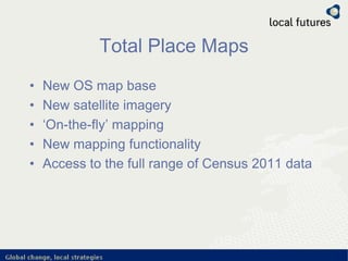
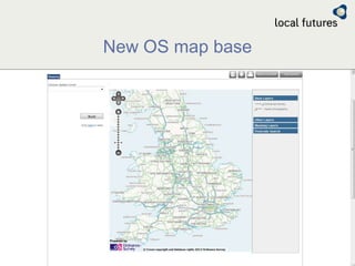
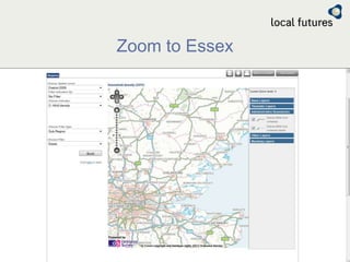
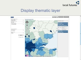
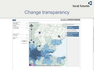
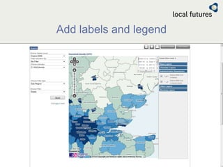
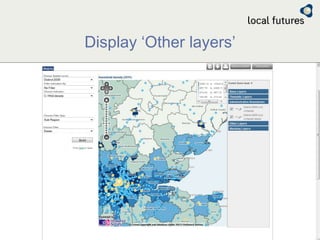
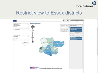
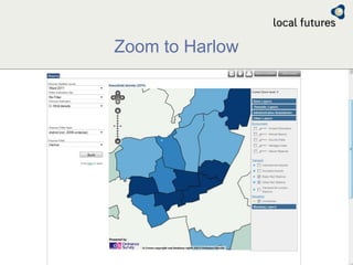
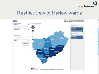
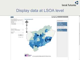
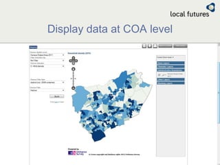
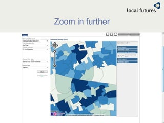
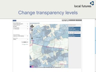
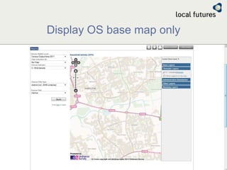
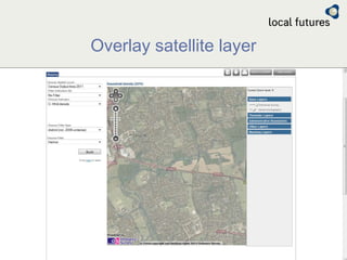
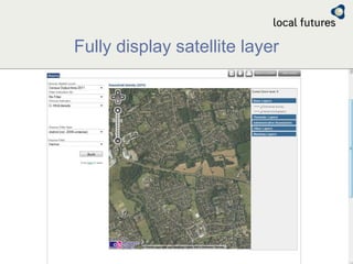
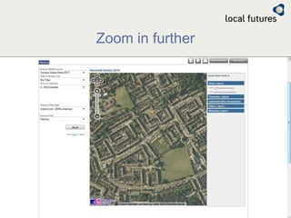
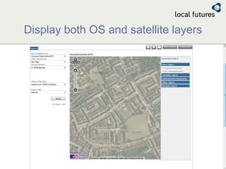
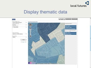


Total Place Maps is a new mapping tool that provides access to updated Ordnance Survey map bases, satellite imagery, and a full range of 2011 Census data. It offers new mapping functionality including zooming, adding thematic layers and labels, restricting views to specific districts or wards, and displaying data down to small geographic areas. Users can overlay map and satellite views, adjust transparency levels, and access mapping and demographic data analysis.


