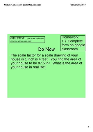
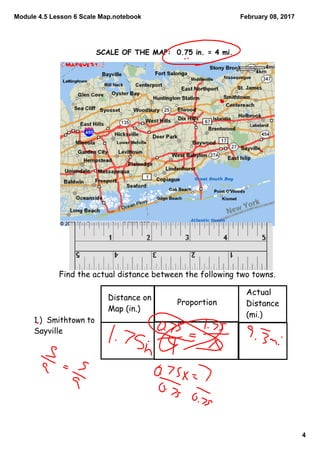
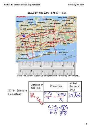
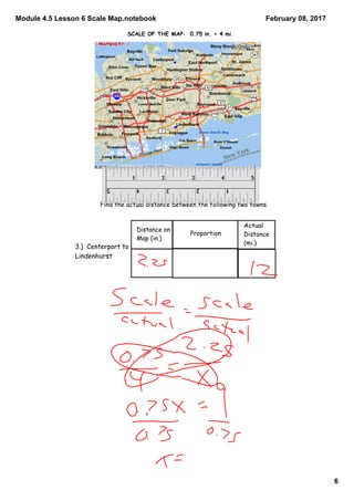
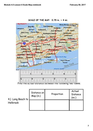
This document discusses using scale maps to determine actual distances. It provides examples of using scale factors and proportions to calculate distances between towns based on their representation on a map. The scale of the map in the examples is 0.75 inches equals 4 miles. Students are asked to use this scale to determine actual distances between various town pairs. They are also asked why distances calculated from a map may be less than the actual distance driven in a car.