

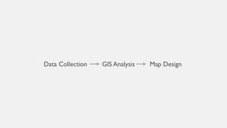
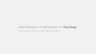

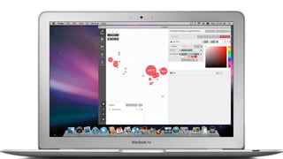
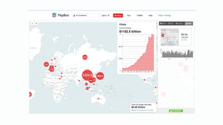

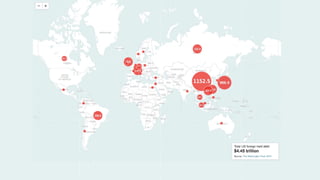
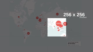

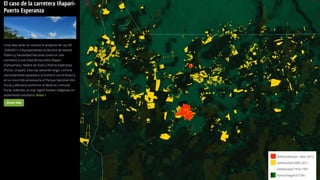
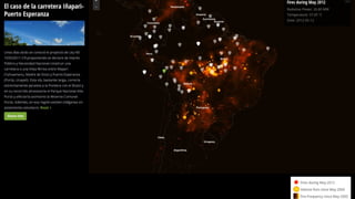
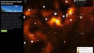

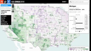
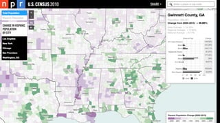
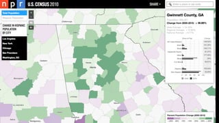
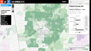
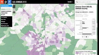
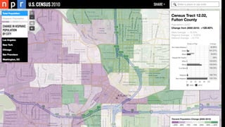

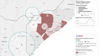
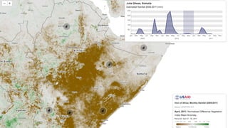
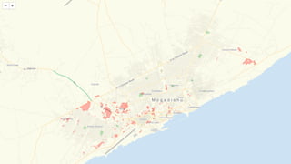
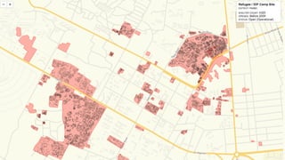

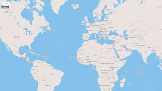
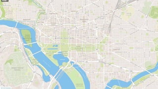
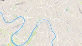
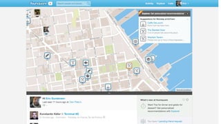
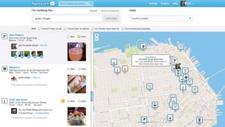


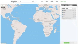
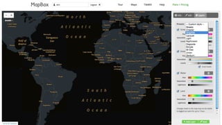
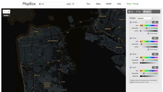
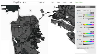
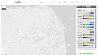
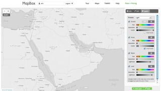
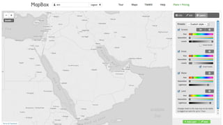
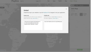
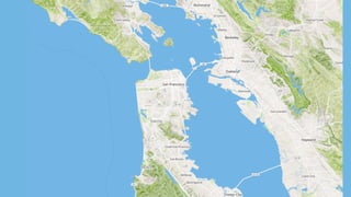
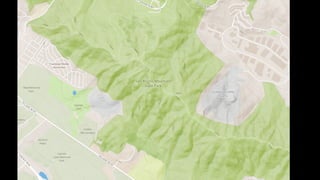
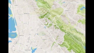

This document outlines the process of creating maps using geographic information systems (GIS) including data collection, GIS analysis, and map design. It notes that data is first collected and worked with in programs like OpenGeo, ESRI, and GeoIQ before being analyzed in GIS. Finally, maps are designed at a resolution of 256 x 256 pixels in common image formats and can use customizable basemaps from MapBox Streets or follow a theme of open maps.


