01
02
03
describe the globaladdress and postal
address
differentiate latitude from longitude
appreciate the significance of latitude
and longitude in understanding global
geography
Objectives
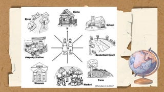
1. Who answeredthe postal address? global
address?
2. What do you think is the difference of those
two addresses?
10.
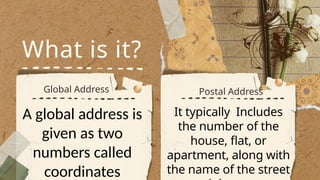
What is it?
GlobalAddress Postal Address
A global address is
given as two
numbers called
coordinates
It typically Includes
the number of the
house, flat, or
apartment, along with
the name of the street
11.
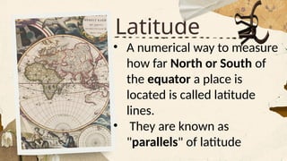
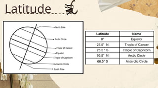
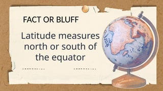
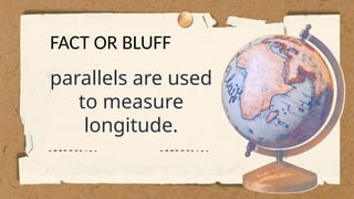
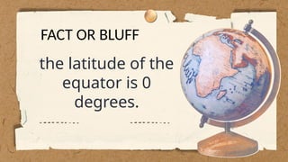
Latitude
• A numericalway to measure
how far North or South of
the equator a place is
located is called latitude
lines.
• They are known as
"parallels" of latitude
Latitude
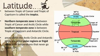
• between Tropicof Cancer and Tropic of
Capricorn is called the tropics.
• Northern temperate zone is between
Tropic of Cancer and Arctic Circle while
southern temperate zone is between
Tropic of Capricorn and Antarctic Circle.
• areas within the Arctic Circle and Antarctic
Circle are called polar regions or frigid
zones with temperatures that never go
above 10°C
14.
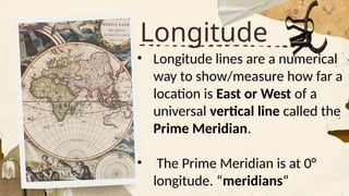
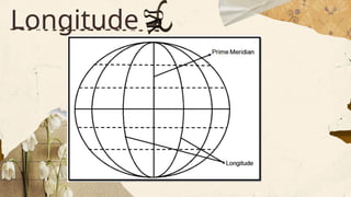
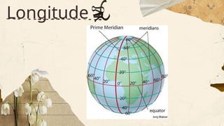
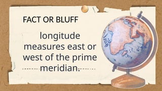
Longitude
• Longitude linesare a numerical
way to show/measure how far a
location is East or West of a
universal vertical line called the
Prime Meridian.
• The Prime Meridian is at 0°
longitude. “meridians”
01
02
03
describe the locationof the Philippines using
latitude and longitude
Use a coordinate system to determine the
location of different places
manifest the values of obedience and sense
of direction in everyday life.
Objectives
World
Map
Third Tour
Lorem ipsumdolor sit amet,
consectetur adipiscing elit, sed do
eiusmod tempor incididunt ut labore
et dolore magna aliqua. Ut enim ad
minim veniam, quis nostrud
exercitation ullamco laboris nisi ut
aliquip ex ea commodo consequat.
First Tour
Lorem ipsum dolor sit amet,
consectetur adipiscing elit, sed do
eiusmod tempor incididunt ut labore
et dolore magna aliqua. Ut enim ad
minim veniam, quis nostrud
exercitation ullamco laboris nisi ut
aliquip ex ea commodo consequat.
Second Tour
Lorem ipsum dolor sit amet,
consectetur adipiscing elit, sed do
eiusmod tempor incididunt ut labore
et dolore magna aliqua. Ut enim ad
minim veniam, quis nostrud
exercitation ullamco laboris nisi ut
aliquip ex ea commodo consequat.
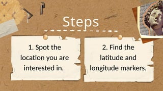
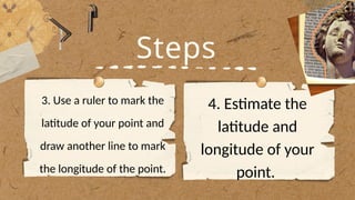
Steps
3. Use aruler to mark the
latitude of your point and
draw another line to mark
the longitude of the point.
4. Estimate the
latitude and
longitude of your
point.
30.
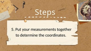
Steps
5. Put yourmeasurements together
to determine the coordinates.
31.
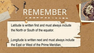
REMEMBER
Latitude is writtenfirst and must always include
the North or South of the equator.
Longitude is written next and must always include
the East or West of the Prime Meridian.