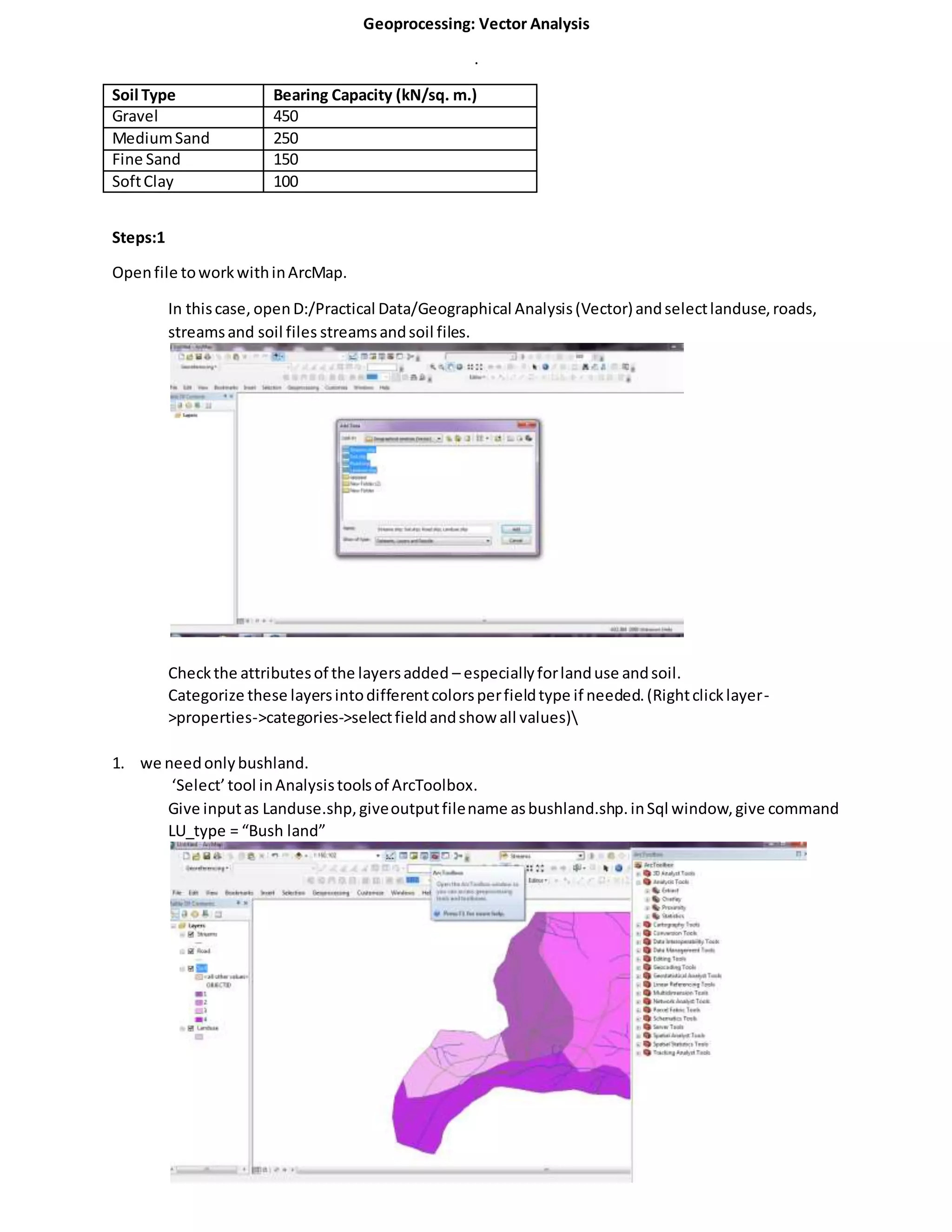
Download to read offline


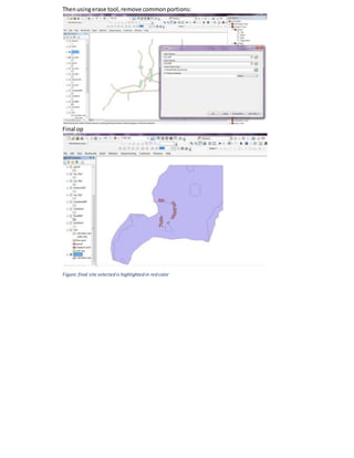

The document outlines a geoprocessing workflow using ArcMap for vector analysis focusing on soil types and site selection criteria. It details the steps needed to extract and process land use data, specifically identifying suitable bushland areas while applying various conditions such as distance from inhabited areas and streams. The final output highlights selected sites that meet all specified criteria with respect to soil type and proximity to roads.