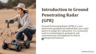
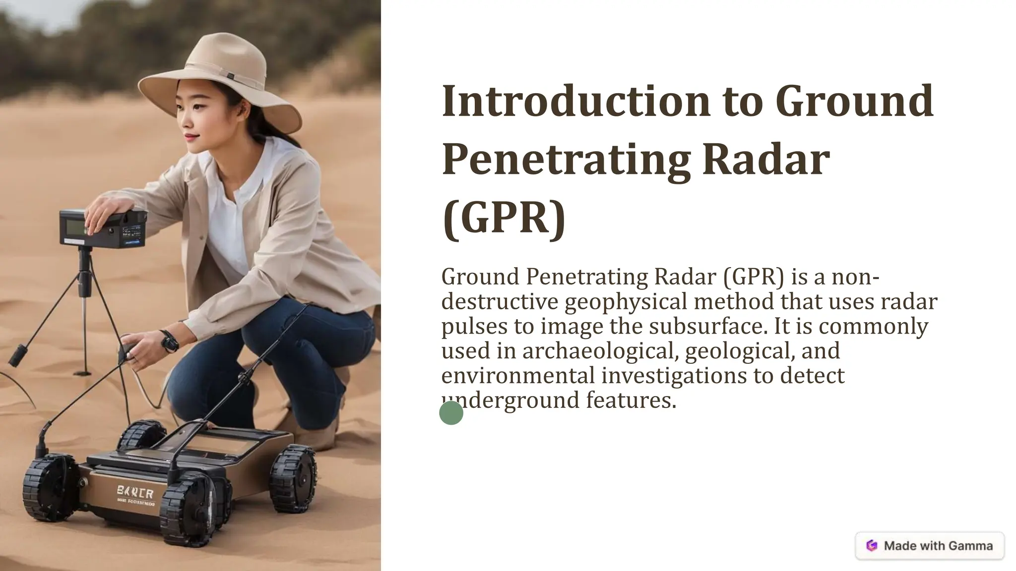
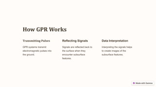
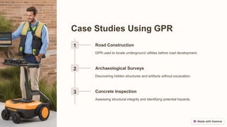
Ground Penetrating Radar (GPR) is a non-destructive method using radar pulses to image subsurface features, applicable in archaeology, utility mapping, and environmental studies. It provides high-resolution images without the need for excavation but has limitations such as reduced effectiveness in dense materials and challenging subsurface conditions. Future developments include advancements in technology, integration with AI, and expanding applications in various fields.