Download as PDF, PPTX


![NUMPY
ar·ray [uh-rey]](https://image.slidesharecdn.com/imageanalysisinpython-140223182852-phpapp02/85/PyconPH-2014-Image-Analysis-in-Python-26-320.jpg)


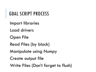

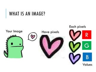
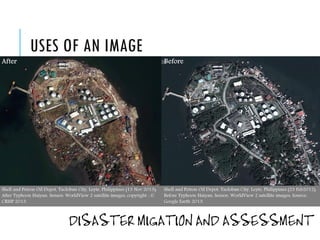
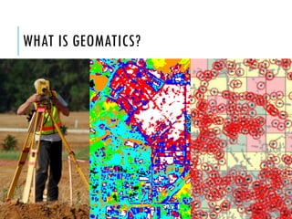
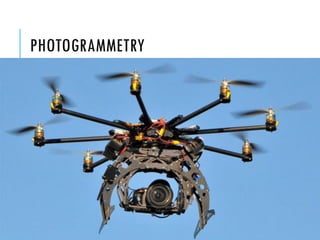
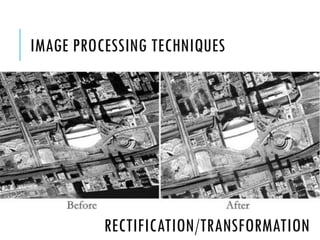
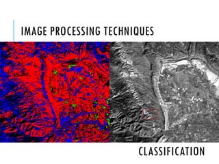
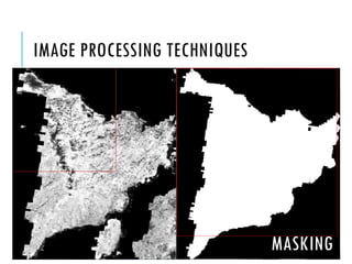
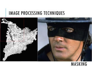
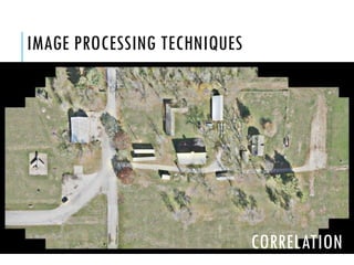
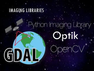
The document discusses image analysis using Python, particularly within the field of geomatics engineering, which involves the management of spatially referenced data. It covers various image processing techniques including rectification, classification, and filtering, along with the use of libraries like GDAL and OpenCV. Additionally, it acknowledges contributors and provides references for further study.


