Download to read offline

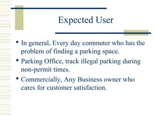
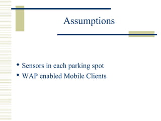
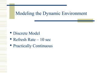

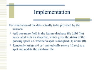

This document describes a simulation of parking spot availability that was created by Chakravarthy Narnindi Sharad. It is intended for everyday commuters, parking offices, and business owners to help find available parking spots. The simulation uses sensors in each spot and wireless access to update a discrete model every 10 seconds to reflect the dynamic parking environment. Randomly assigning values of 0 or 1 every 10 seconds to each spot in a database simulates the occupancy status for demonstration purposes. Future work could include porting it to mobile clients, allowing users to book spots, locate their vehicle, and get driving directions to available spots.


![Smart_Parking_System_ppt_bhp[1][2][1].pptx](https://cdn.slidesharecdn.com/ss_thumbnails/smartparkingsystempptbhp121-251110145325-3bbfce26-thumbnail.jpg?width=640&height=640&fit=bounds)


![parking space counter [Autosaved] (2).pptx](https://cdn.slidesharecdn.com/ss_thumbnails/parkingspacecounterautosaved2-230903123620-8263d656-thumbnail.jpg?width=640&height=640&fit=bounds)