GeoCommons Open-Source GeoCoder
•
9 likes•4,136 views

Announcing the Open-Source Geocoder from GeoCommons at State of the Map 2009 - a call to OpenStreetMap developers to extend for the World.

Recommended
Recommended
More Related Content
Similar to GeoCommons Open-Source GeoCoder
Similar to GeoCommons Open-Source GeoCoder (10)
More from Andrew Turner
More from Andrew Turner (20)
Recently uploaded
Recently uploaded (20)
GeoCommons Open-Source GeoCoder
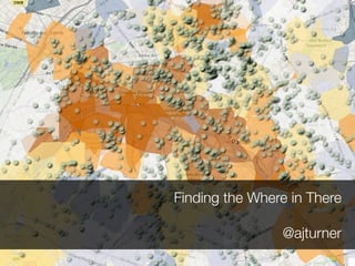
- 1. Finding the Where in There @ajturner
- 5. GeoWeb Find out more on Sunday Afternoon
- 6. Lots of Data
- 10. Mess of Strings
- 11. Lacking in Data flickr: erix!
- 12. Disconnected ‘Web’ Apps flickr: bering
- 13. (a very smart guy) ^ #sotm07
- 14. Forking is an act of Love github.com/geocommons
- 15. The Architecture GeoCoding Engine Web Service API U.S. Address Rules Address String Parser Ruby Metaphone C TIGER Importer Street Database SQLite NAVTEQ Importer GeoCommons http://github.com/geocommons/geocoder
- 16. 2200 Wilson Blvd., Arlington, VA 22201 Nu St Ci Re Po m re ty gi st be et on co r de GeoCommons http://github.com/geocommons/geocoder
- 17. 470 4 Parcel 408 4 380 360 300 461 421 41 01 377 301 400 300 200 Ranged GeoCommons http://github.com/geocommons/geocoder
- 18. benchmark: 240,000 geocodes / hour ~66.66666666667 geocodes / second GeoCommons http://github.com/geocommons/geocoder
- 19. A call to the Community GeoCommons http://github.com/geocommons/geocoder
- 20. Thank you! Andrew Turner @ajturner GeoCommons http://github.com/geocommons/geocoder