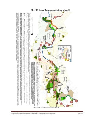
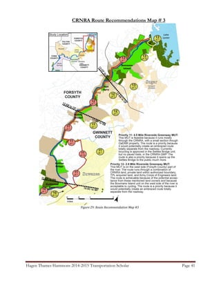
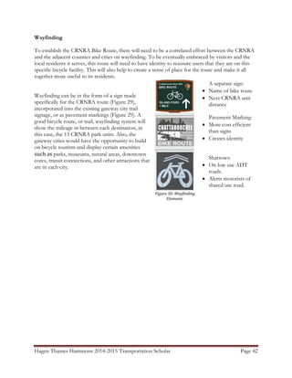
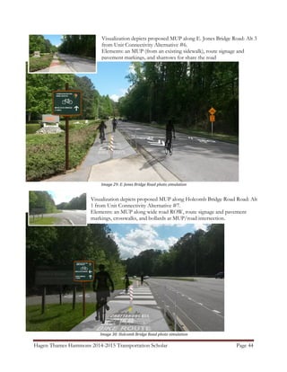
Download to read offline

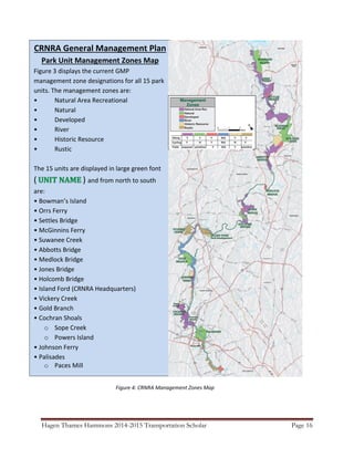


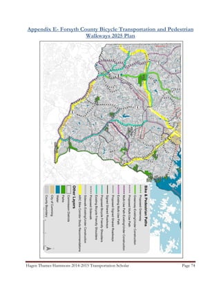
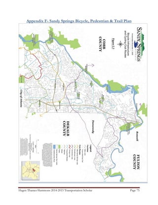
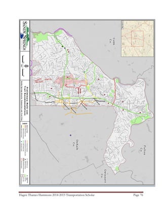
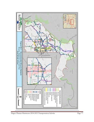
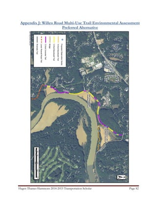

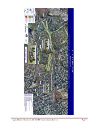


This document summarizes the initial planning efforts to develop bicycle connectivity to access the 15 units of the Chattahoochee River National Recreation Area (CRNRA) located in northern Atlanta, GA. The Transportation Scholar worked with various county and city agencies to collect spatial data on existing and planned bicycle infrastructure. Alternatives were developed to connect the CRNRA units, focusing on routes that utilize existing and future infrastructure. The final report provides a starting point for collaboration between the CRNRA and local governments to further develop a bicycle route network that improves accessibility to the park.


