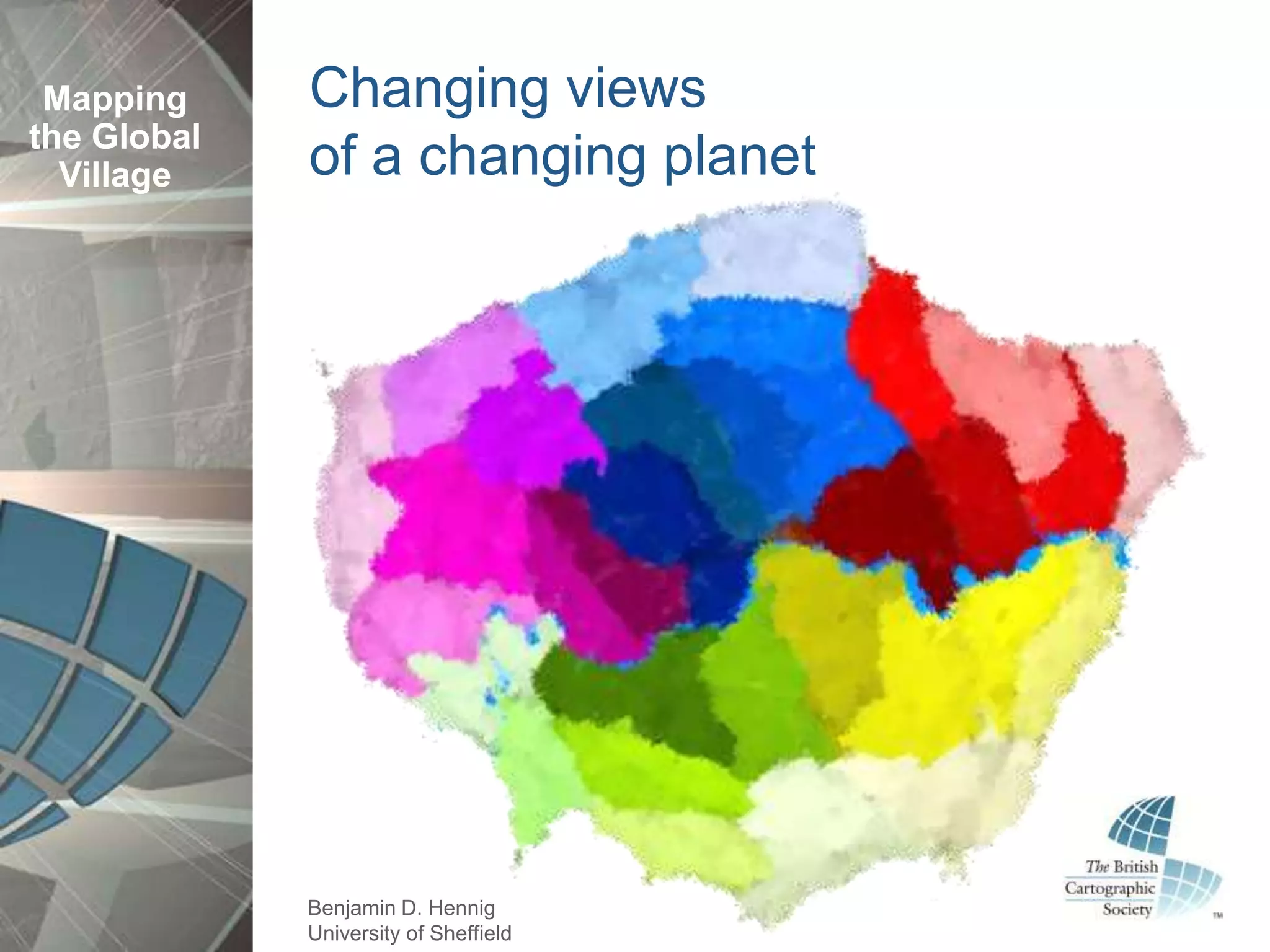
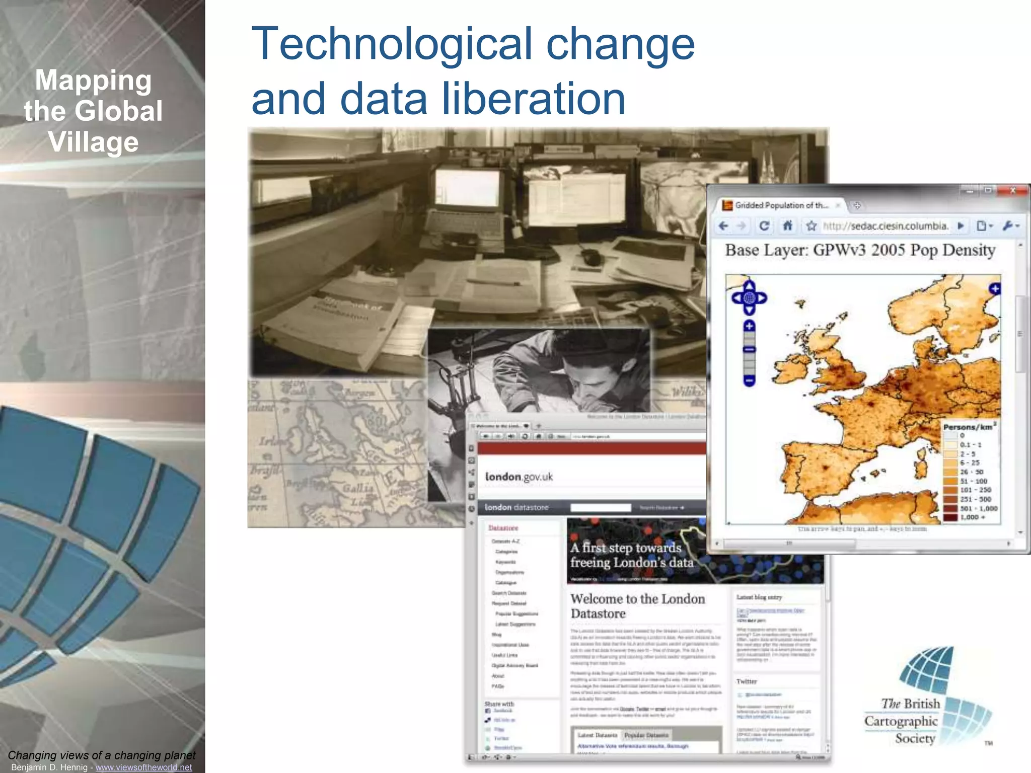
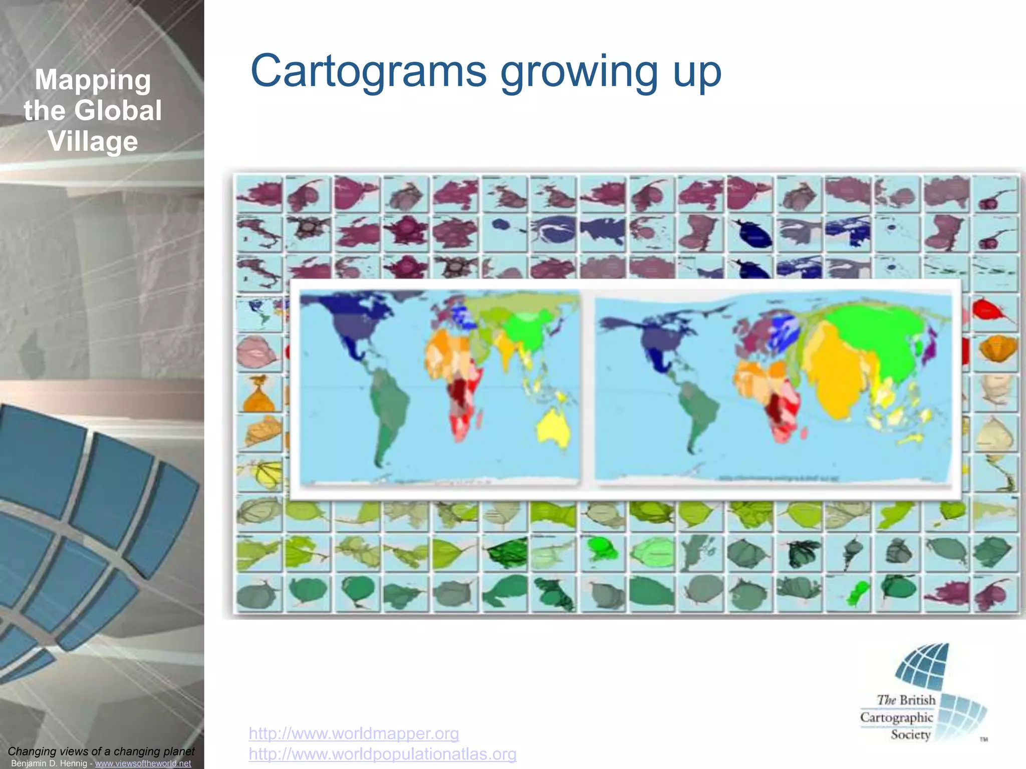
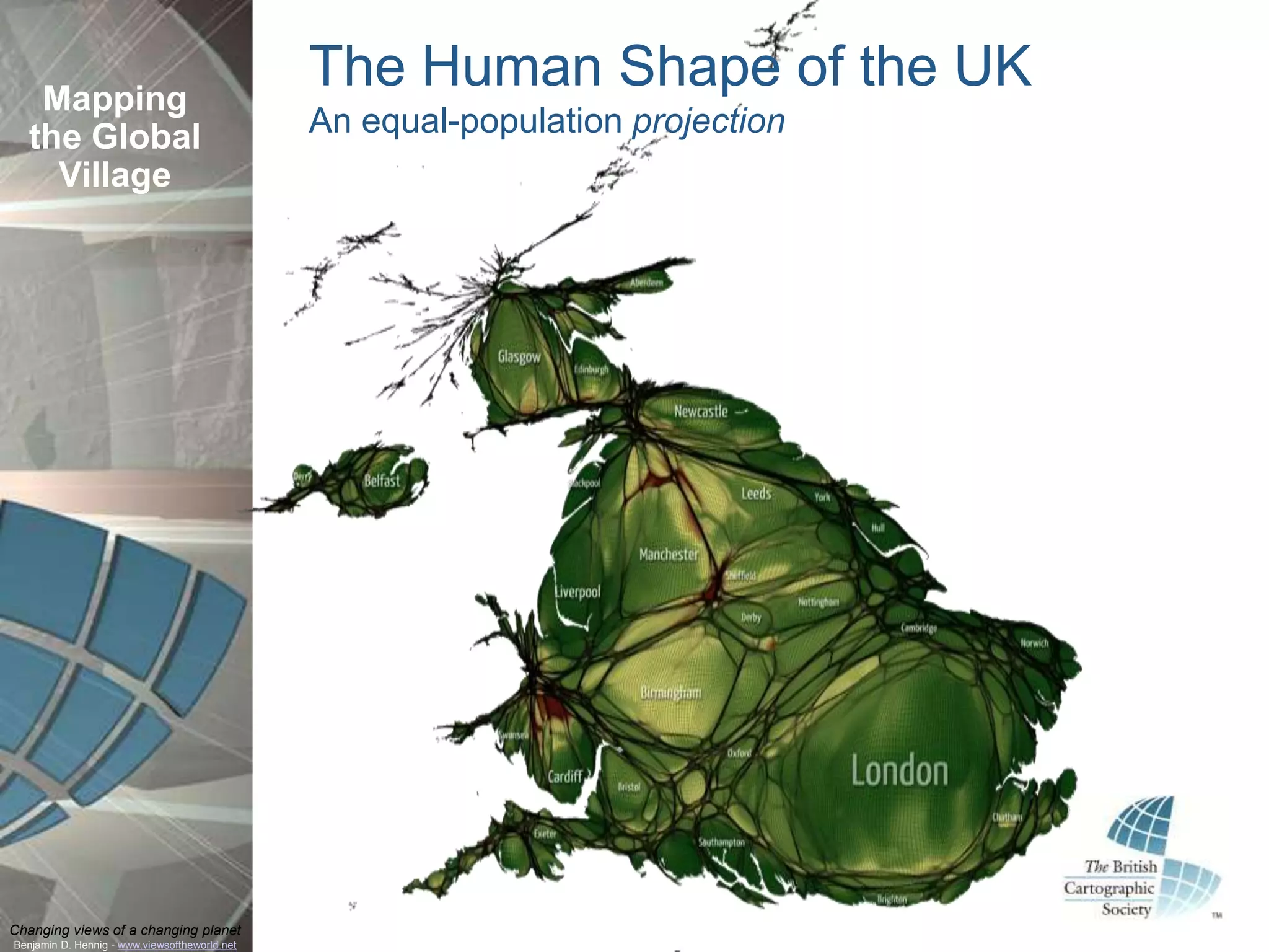
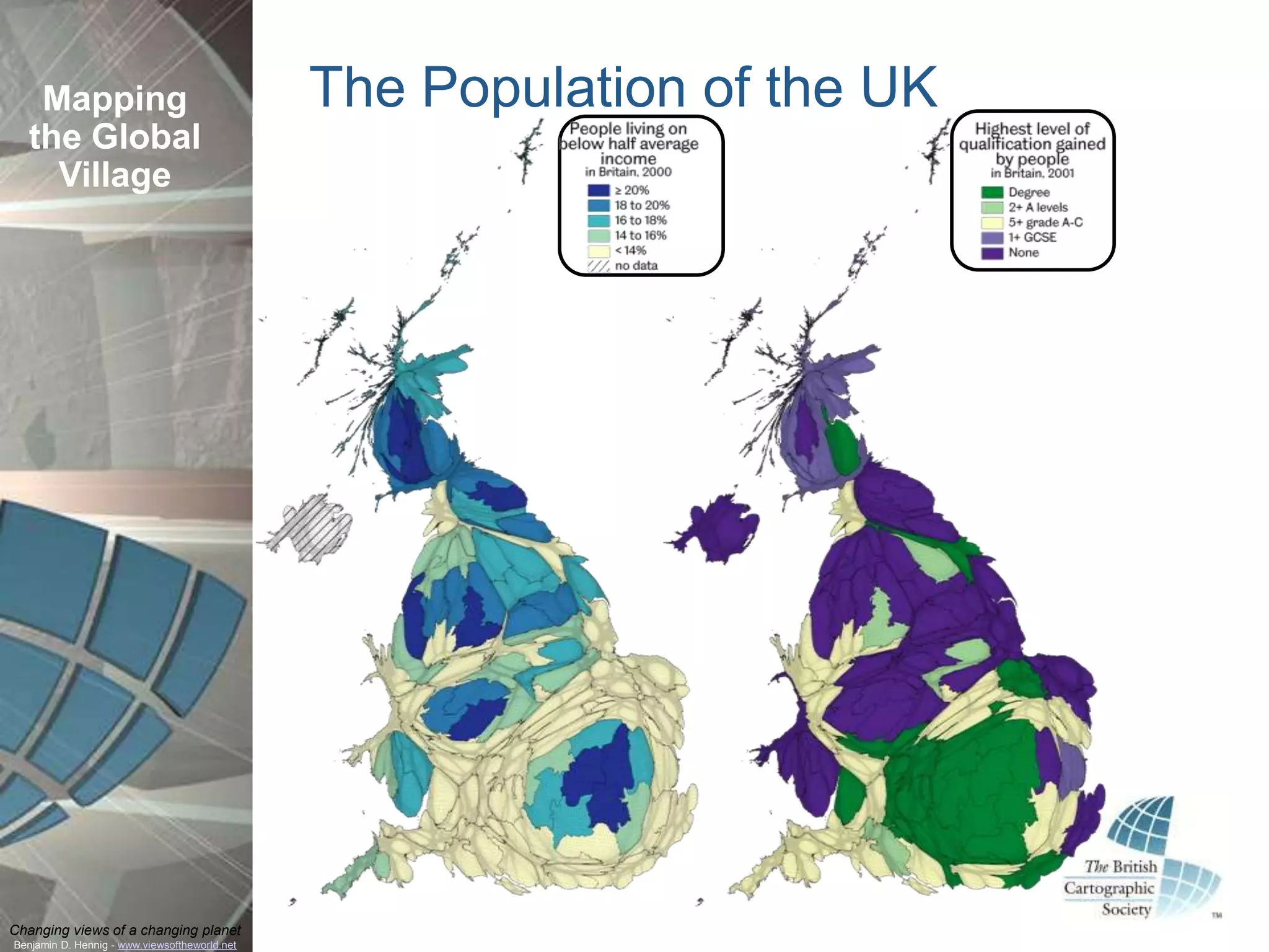
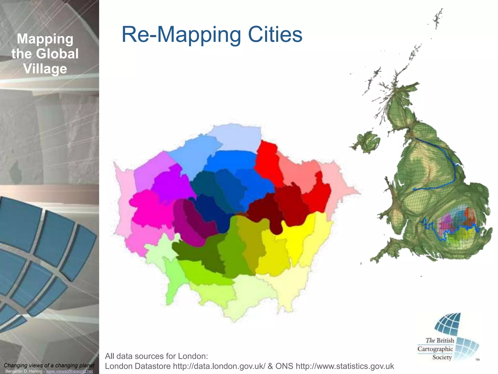
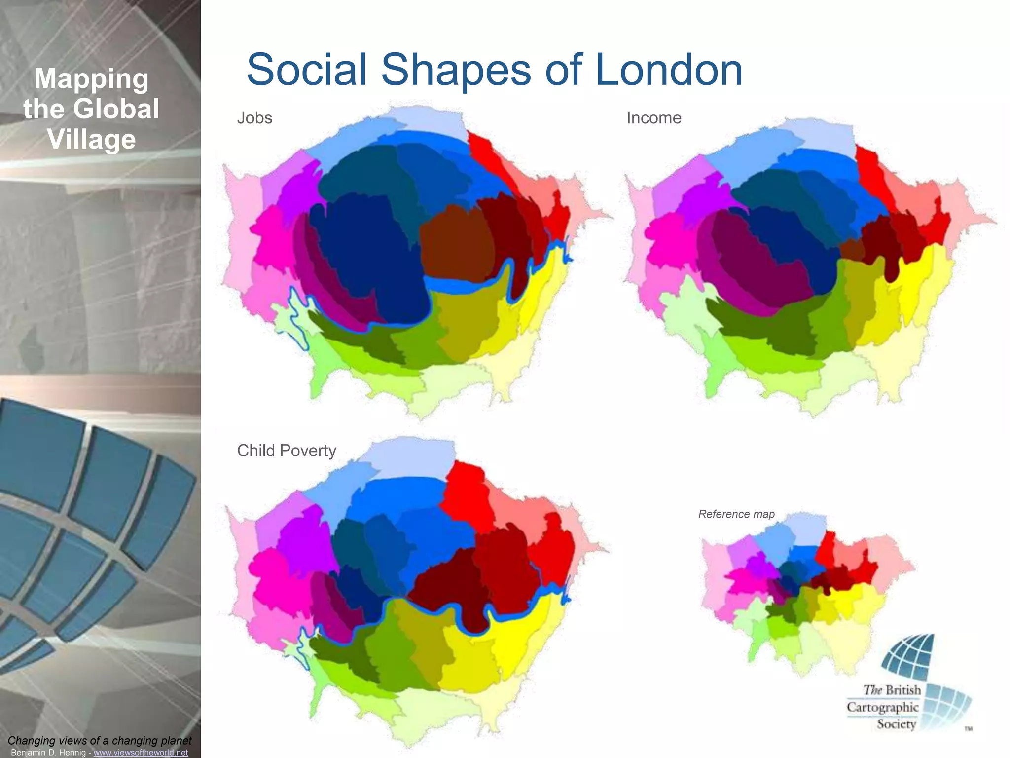
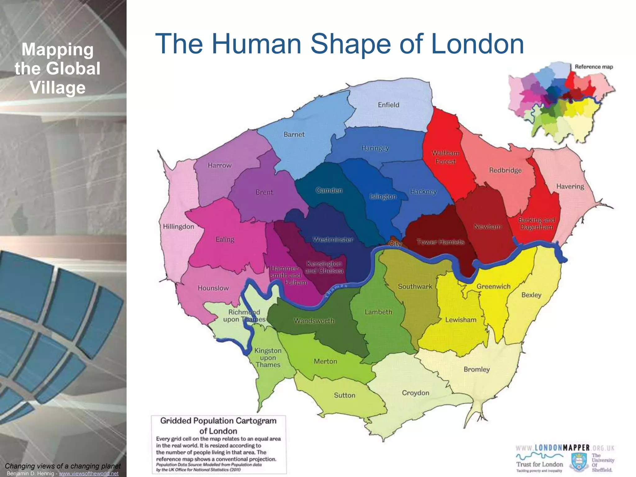
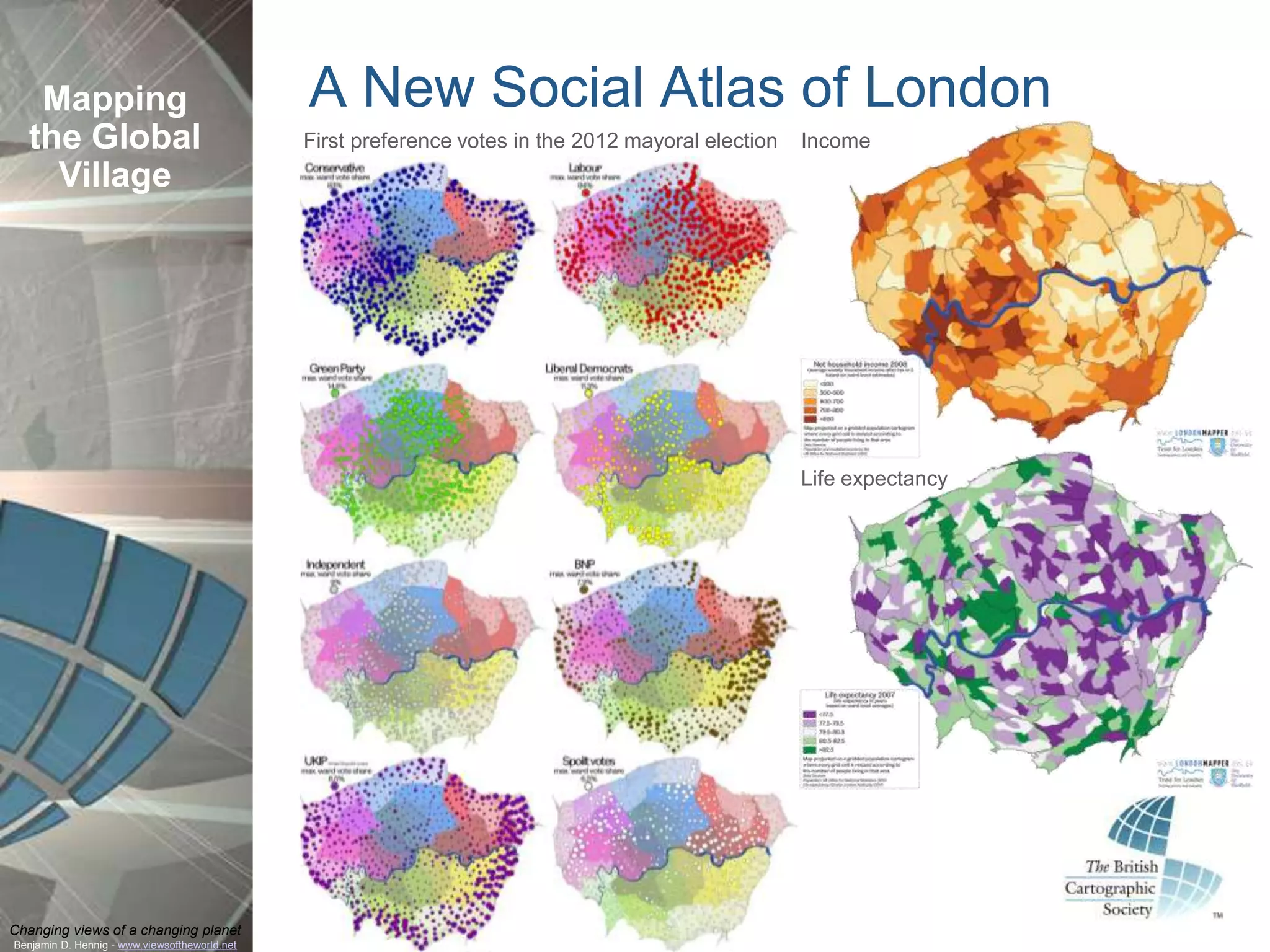
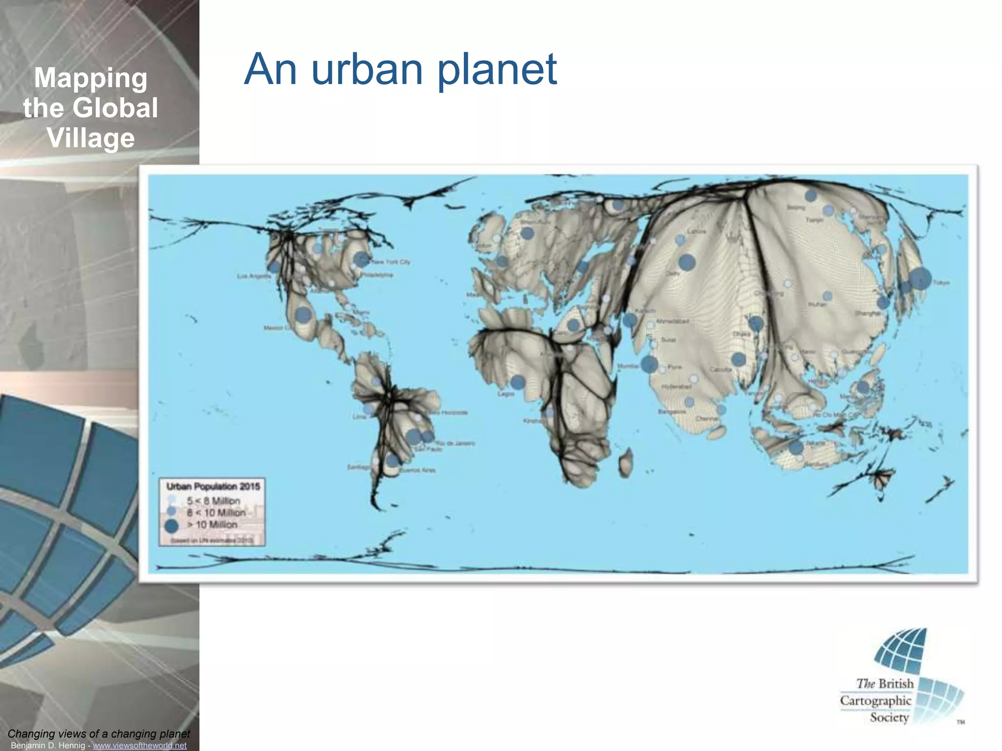
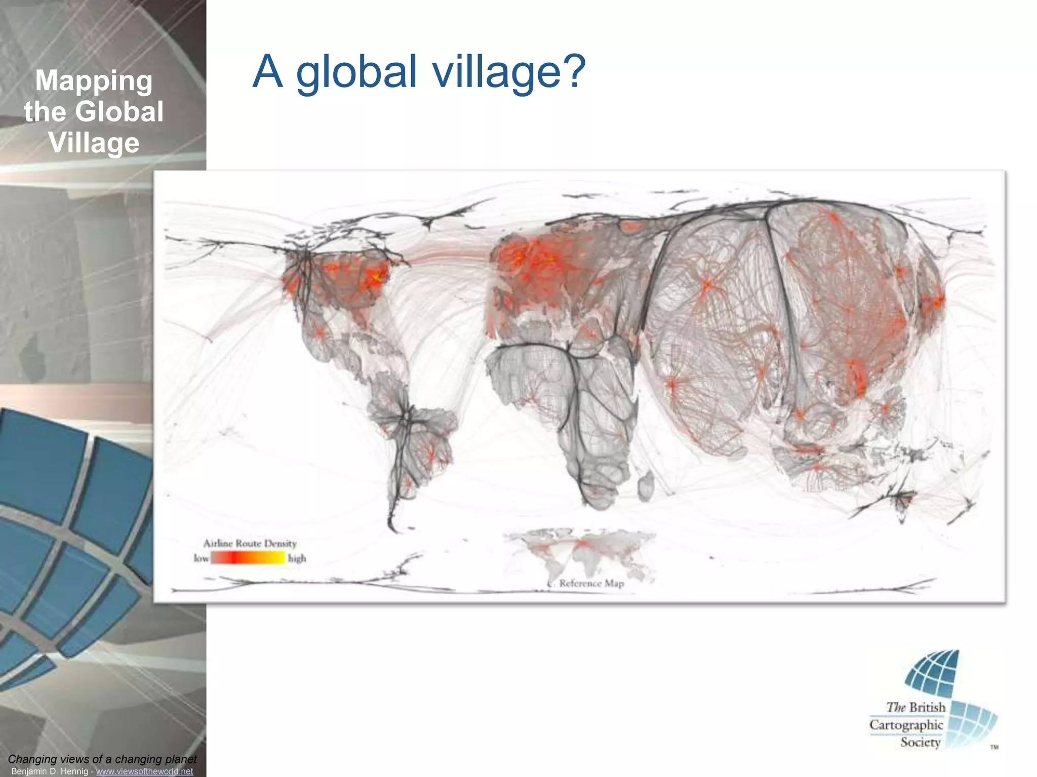

The document discusses the changing perspectives on global mapping and population representation, focusing on cartograms and their application in understanding demographic data in the UK and London. It highlights various mapping projects and resources that visualize social issues and urban landscapes. The research aims to illustrate a human-shaped understanding of the changes within the global village context.


