The document describes solving two problems related to summarizing SRTM raster data.
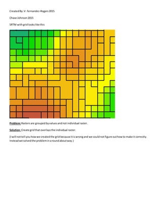
The first problem was that rasters were grouped by values rather than individually. The solution created an overlaying grid to represent each raster.
The second problem was that gridlines were not centered over the SRTM rasters. The solution involved creating centroid points for each polygon, making an XY event layer from those points, and using it to generate Thiessen polygons centered on each raster.