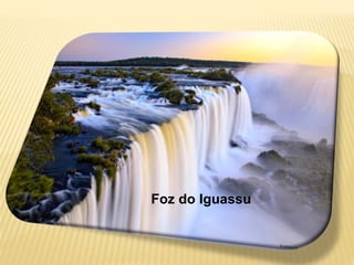
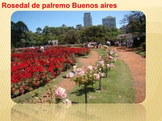
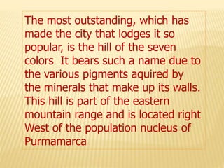
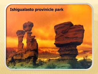
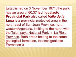
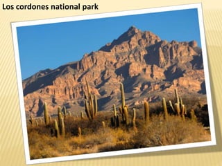
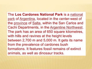
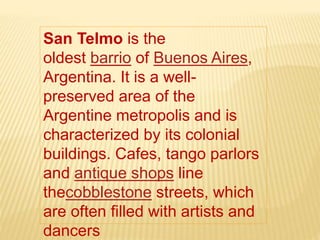
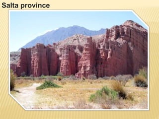
Download to read offline


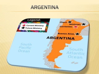
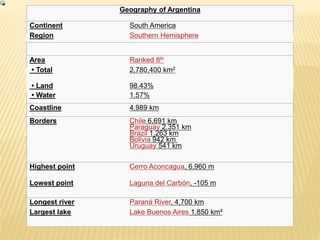
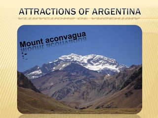

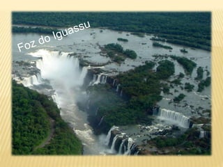
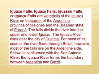

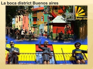


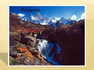

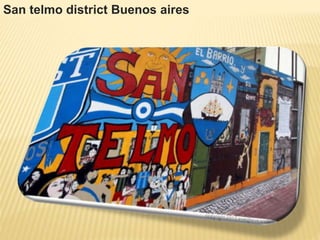


Argentina, ranked 8th in size globally, covers 2,780,400 km² with diverse geographical features including the Andes mountains, the Pampas plains, and Patagonia region. Its capital, Buenos Aires, is the second-largest metropolitan area in South America and known for its cultural significance, while notable attractions include Aconcagua, the highest peak outside Asia, and Iguazu Falls, shared with Brazil. The country boasts various national parks, rich history, and vibrant neighborhoods, such as La Boca and San Telmo.


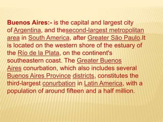
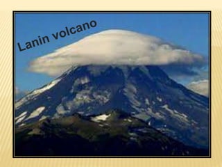
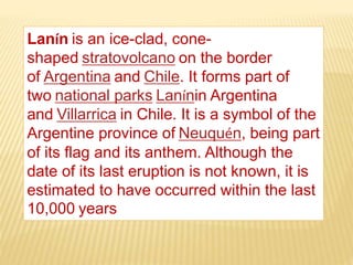
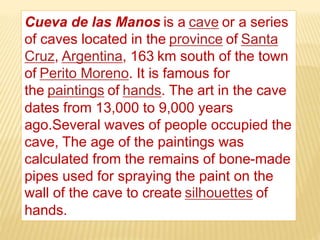
![Agentina[1]](https://cdn.slidesharecdn.com/ss_thumbnails/agentina1-090322195742-phpapp02-thumbnail.jpg?width=640&height=640&fit=bounds)


