Downloaded 295 times
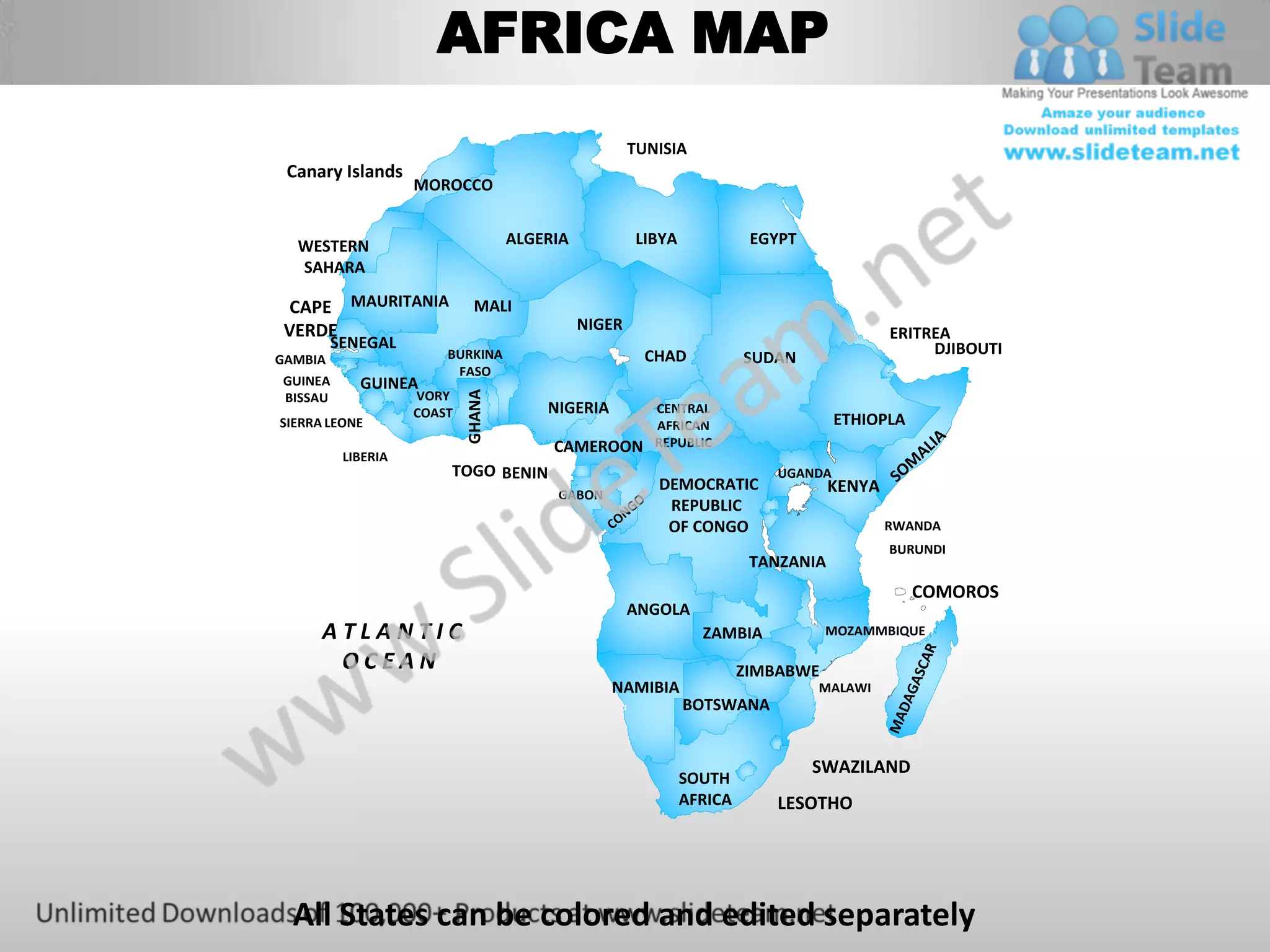
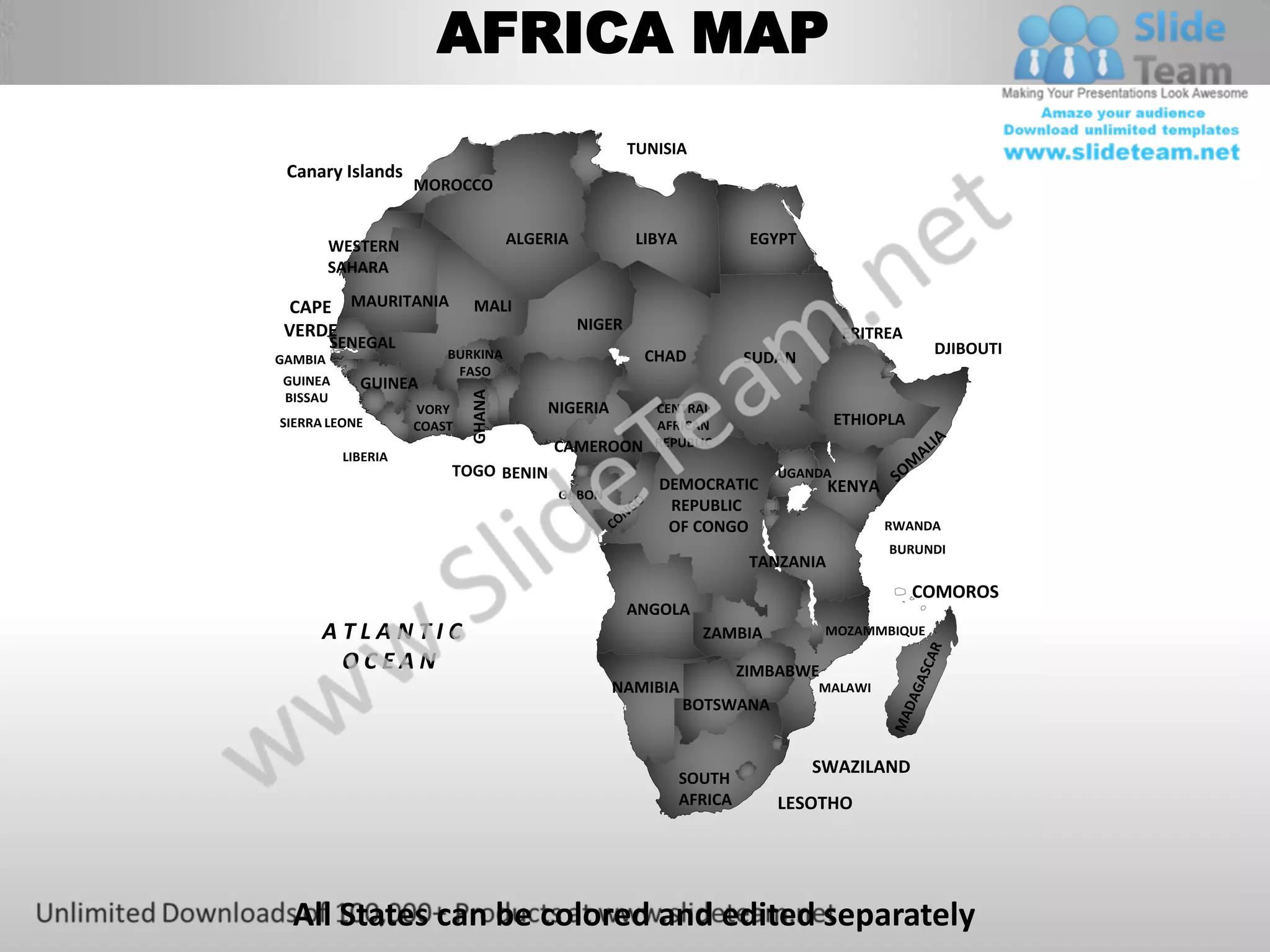
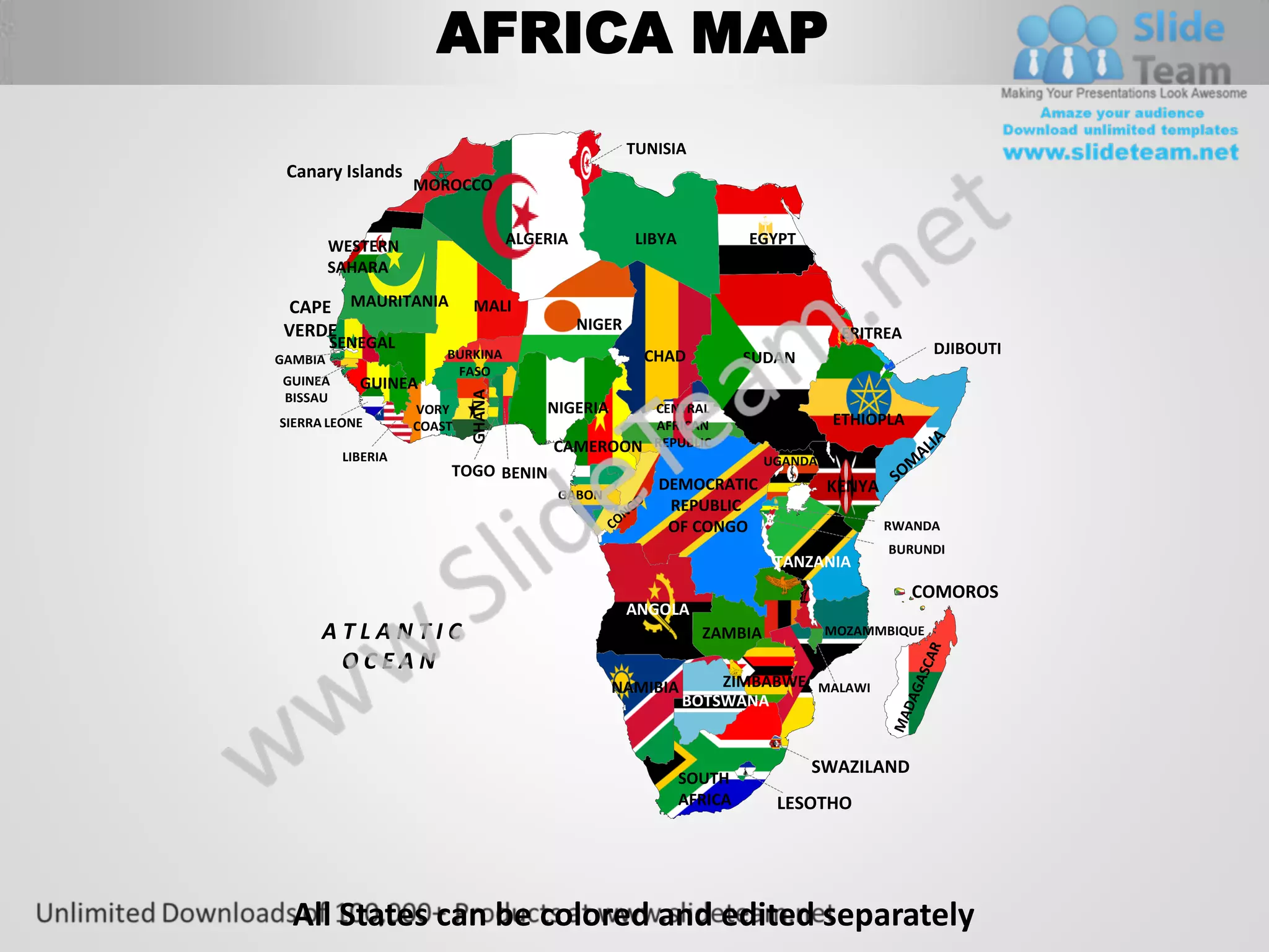


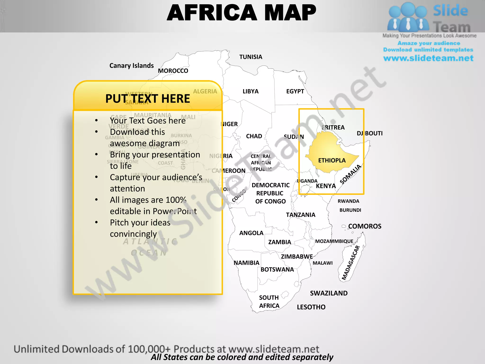


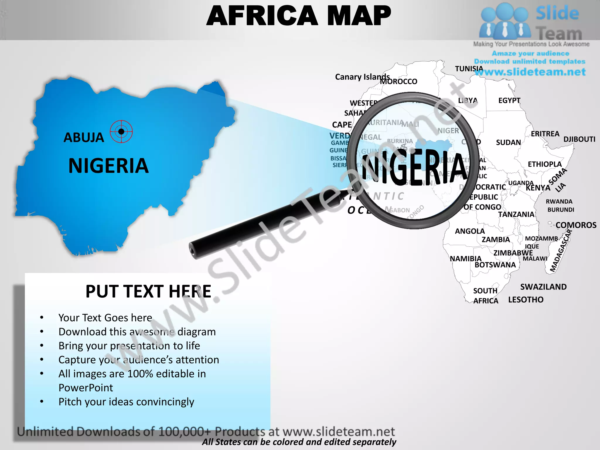


The document is a map of Africa showing the countries of the continent. It displays the names and locations of numerous African nations, including Tunisia, Morocco, Algeria, Libya, Egypt, Mali, Niger, Senegal, Gambia, Burkina Faso, Guinea, Ghana, Benin, Nigeria, Cameroon, Central African Republic, Democratic Republic of Congo, Ethiopia, South Sudan, Uganda, Kenya, Rwanda, Burundi, Tanzania, Angola, and South Africa. The map also labels surrounding bodies of water like the Atlantic Ocean.


