17. เลือกเครื่องมือ Editor Start Editing Point จุดลงในช่องกริดที่ต้องการ
Save Edits Stop Editing
18. เลือกเครื่องมือ Snap Pour Point Input เลือก Point Input accumulation raster เลือก Flow_ac
Output ตั้งชื่อว่า snapPP OK (การทา Snap Pour Point เหมาะกับพื้นที่ต่าๆ มีการไหลสะสมการ)
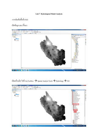
ผลที่ได้ดังภาพด้านล่าง
19. เปิดเครื่องมือ Watershed Input เลือก Flow_di Input raster เลือก snapPP Pour point field เลือก
VALUE Output ตั้งชื่อเป็น watershed OK
จะได้ผลดังภาพด้านล่าง