


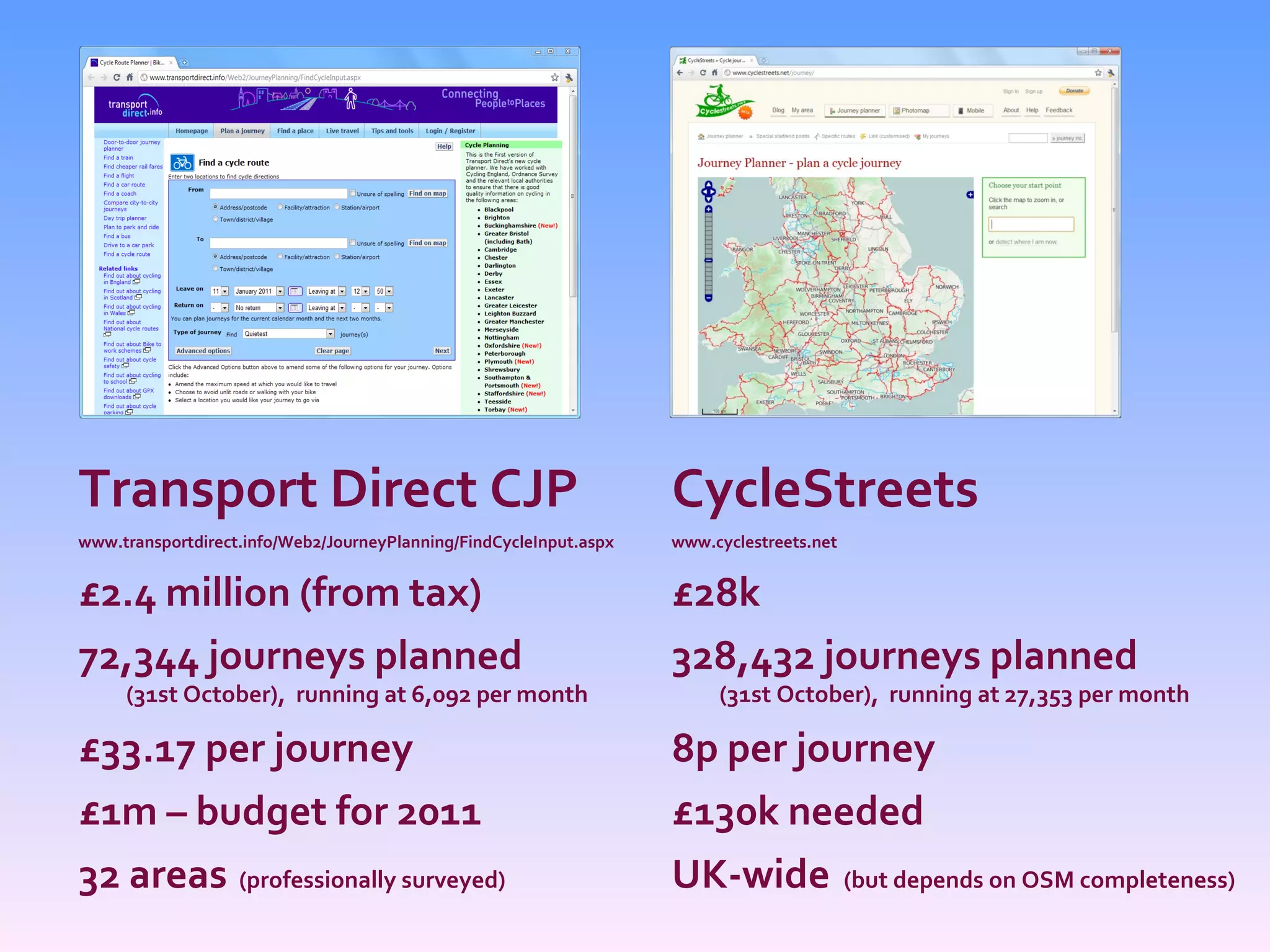
![Effective delivery? FoI request by Cambridge resident Richard Taylor www.rtaylor.co.uk/2940, dated April 2010 before 2nd FoI request “ Government Wastes £2.4m Building Cycle Route Planner Instead of Linking to CycleStreets.net for Free” “ Each cycle route planned ... cost the taxpayer about £57” “ Usage of the [Transport Direct] planner remains very low” (Programme paper, 12/Feb/2010) The Register http://www.theregister.co.uk/2010/04/12/cycle_route_planner/ “ Where end-users have already put in the ground work, central IT should make use of what has already been done, rather than try to reinvent the wheel.”](https://image.slidesharecdn.com/cyclestreetsnet2camb110111-110114072432-phpapp02/75/CycleStreets-Our-Story-presentation-to-Net2Camb-event-34-2048.jpg)


![Martin Lucas-Smith, www.CycleStreets.net Twitter: @cyclestreets [email_address] David Earl](https://image.slidesharecdn.com/cyclestreetsnet2camb110111-110114072432-phpapp02/75/CycleStreets-Our-Story-presentation-to-Net2Camb-event-46-2048.jpg)

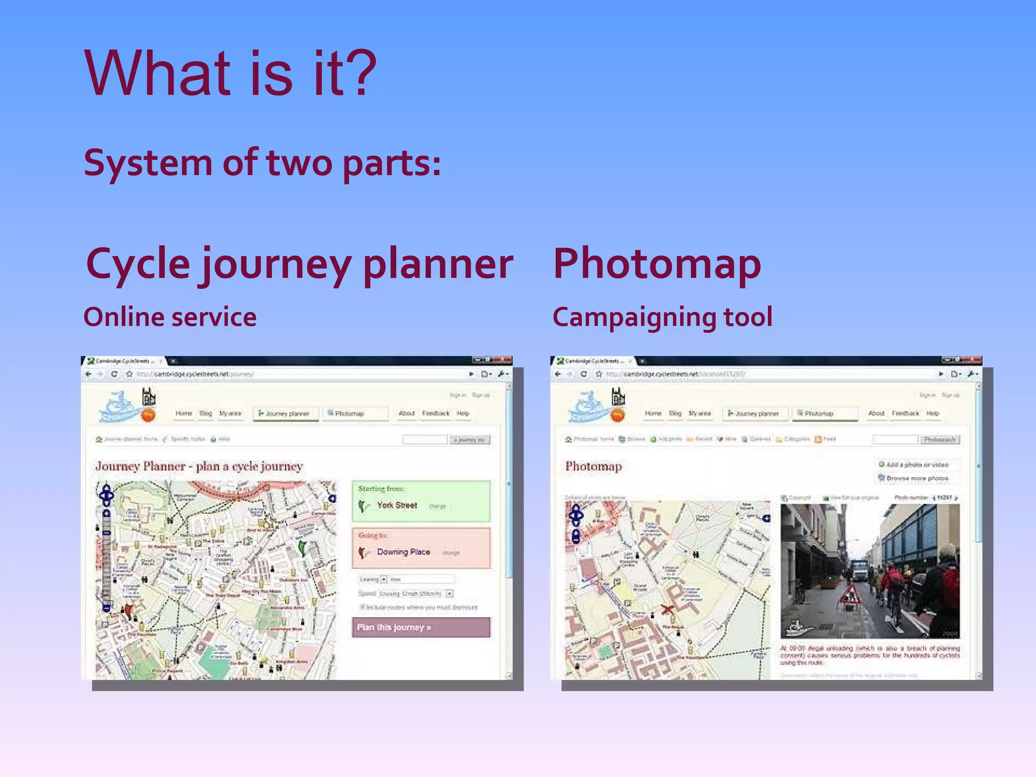
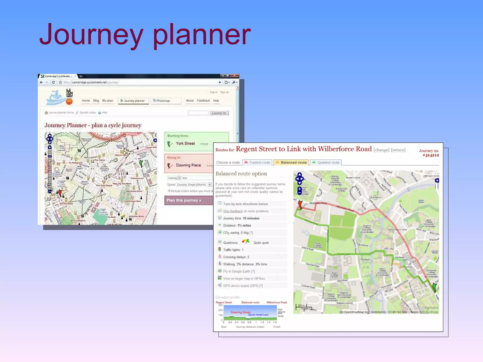
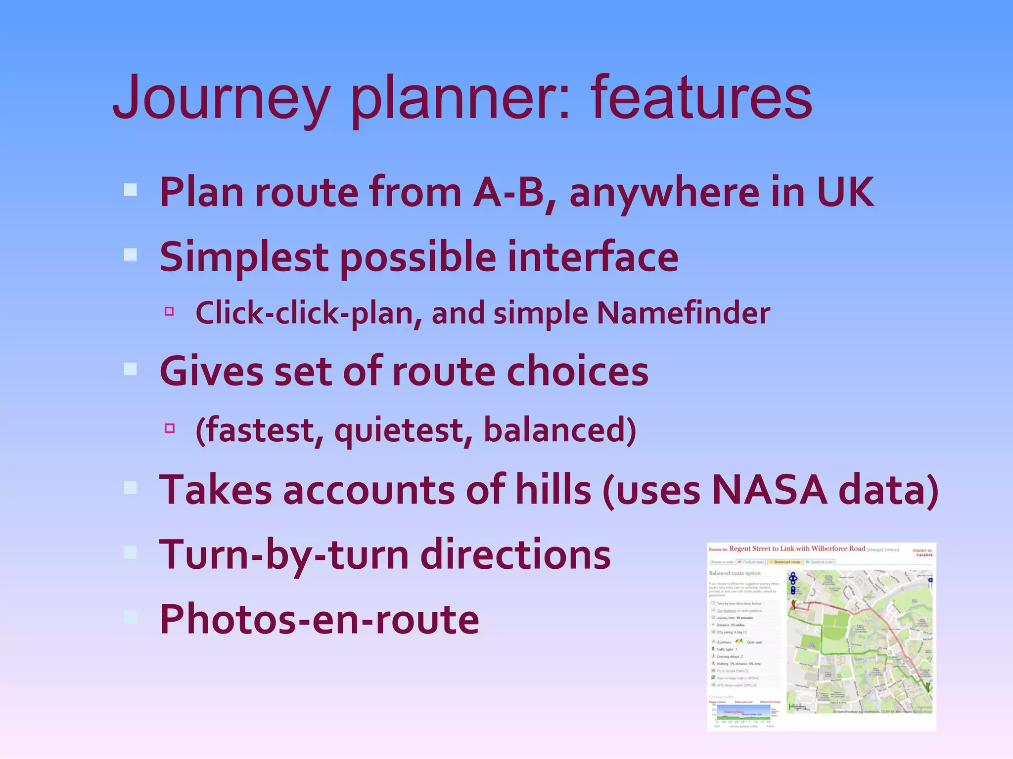
CycleStreets is a UK-wide cycle journey planner and photomap created by cyclists for cyclists. It uses OpenStreetMap data to plan bike routes and allows users to add photos. The website includes a journey planner, photomap, and mobile apps. CycleStreets aims to promote cycling by making it easier to find safe and enjoyable bike routes anywhere in the UK. It was originally created for Cambridge but has expanded nationwide due to public demand.