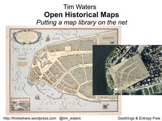
Tim Waters discusses putting historical map libraries online and making them accessible through crowdsourcing. While some are skeptical of relying too heavily on users, structuring projects properly can facilitate user collaboration. Waters demonstrates a map warping tool that allows georectification and overlay of multiple map layers. Users are encouraged to try uploading and georectifying their own historical imagery through the open source tool.
10. Crowdsourcing ? “ I find the term incredibly irritating... Any company that thinks it’s going to build a site by outsourcing all the work to its users not only disrespects the users but completely misunderstands what it should be doing. Your job is to provide a structure for your users to Collaborate, and that takes a lot of work”. Jimmy Wales, Wikipedia
11.
12. Making people happy to put your maps on the interwebs and trace over them for you!
13. Core Technology – traditional GIS stuff. Georectification Digitization
15. Isothermal chart, or, View of climates & productions / drawn from the accounts of Humboldt & others, by W.C. Woodbridge. 1843
16. A new systeme of the mathematicks: containing I. Arithmetick,.... 1681
17. The English Empire in America.from Atlas minimus, or, A book of geography : shewing all the empires, monarchies, kingdomes, regions, dominions, principalities and c ountries, in the whole world 1679
18. Sacrifice Island. from America: being the latest, and most accurate description o f the Nevv vvorld 1671
37. http://maps.nypl.org/warper Find me for beta login details or email [email_address] More details: http://thinkwhere.wordpress.com Upload and geo rectify your own imagery now: http://warper.geothings.net Have a go now! Future: Dynamic HTML5 space age stuff Open Historical Map