Download as PDF, PPTX
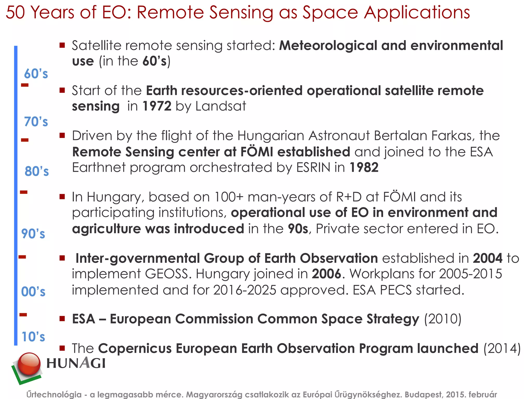
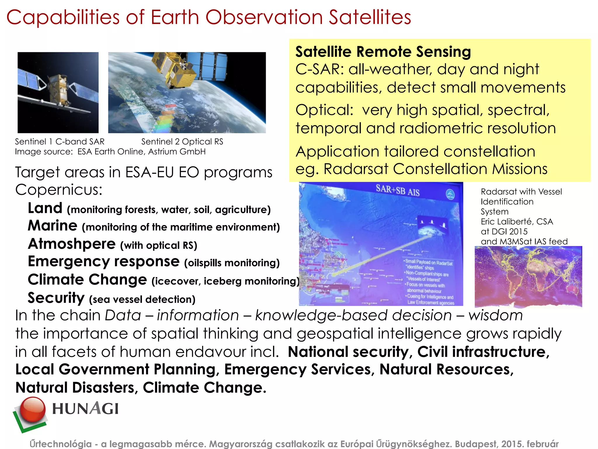
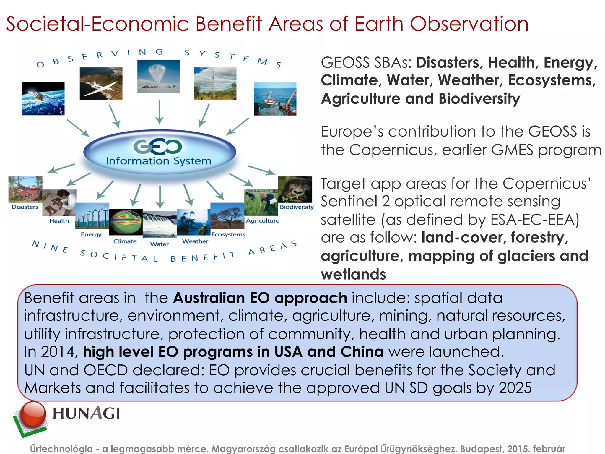
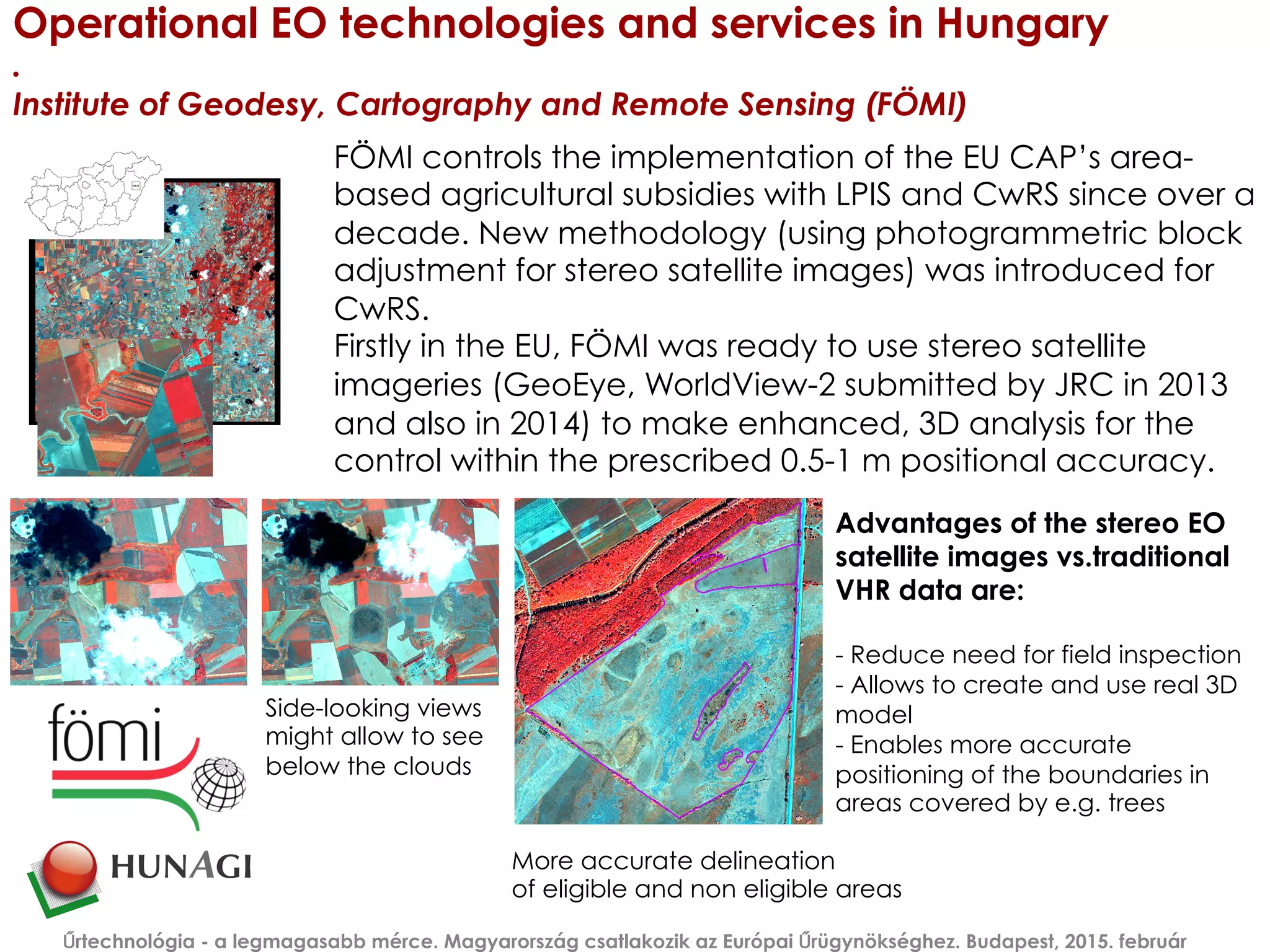
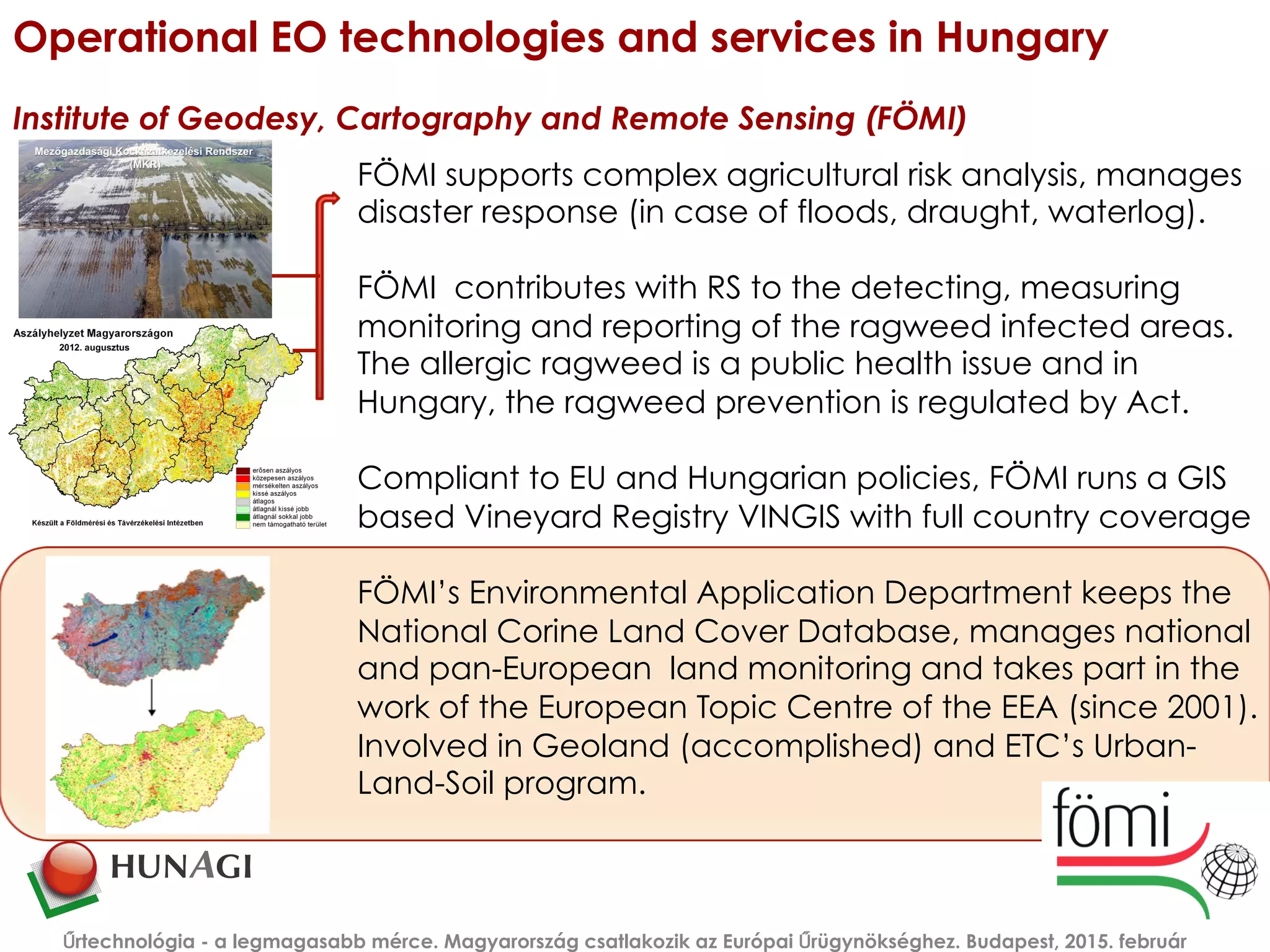
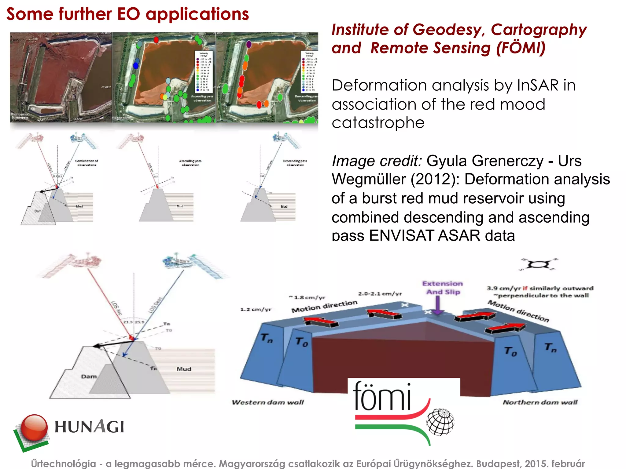
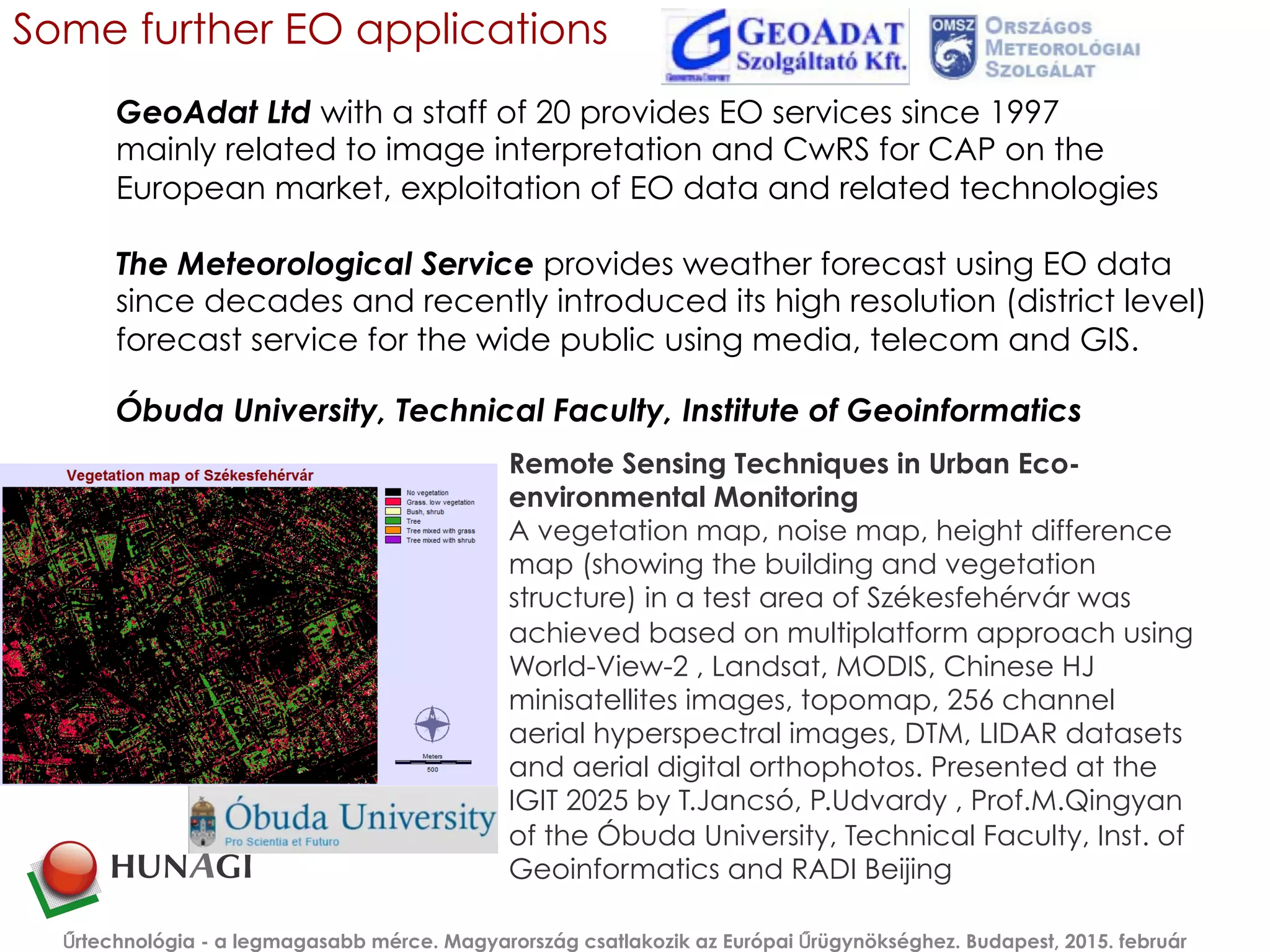
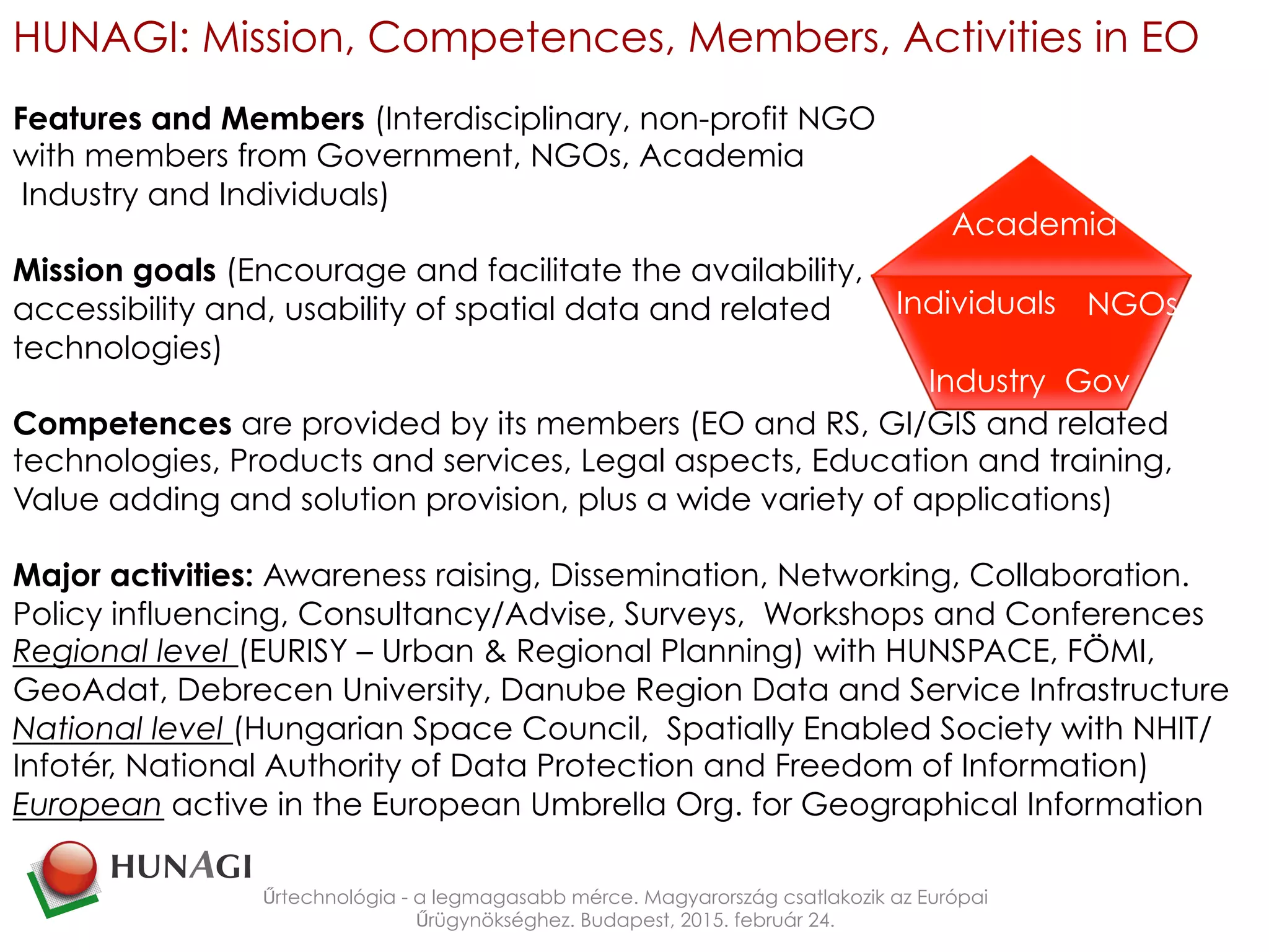
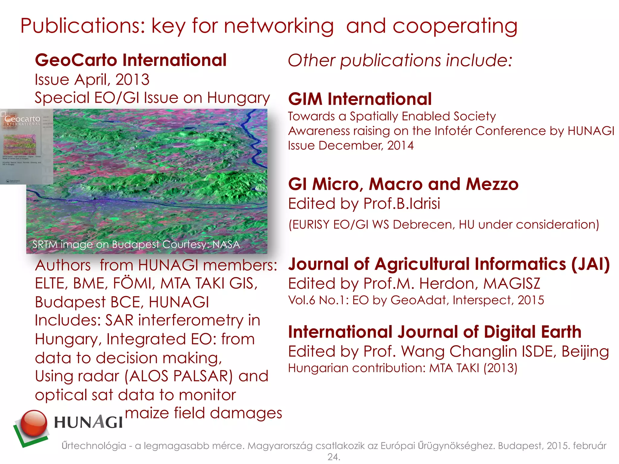
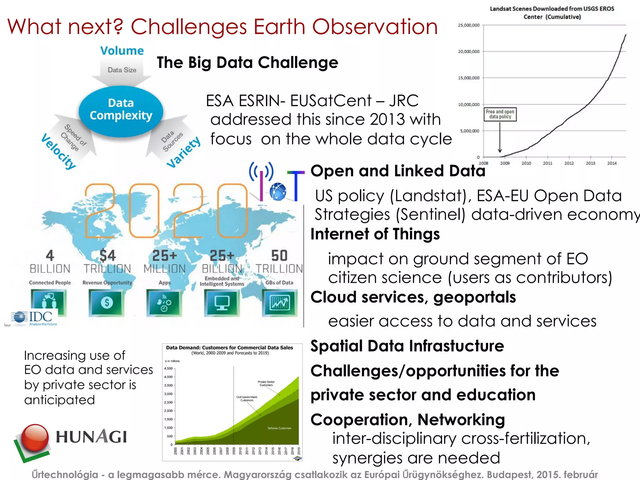
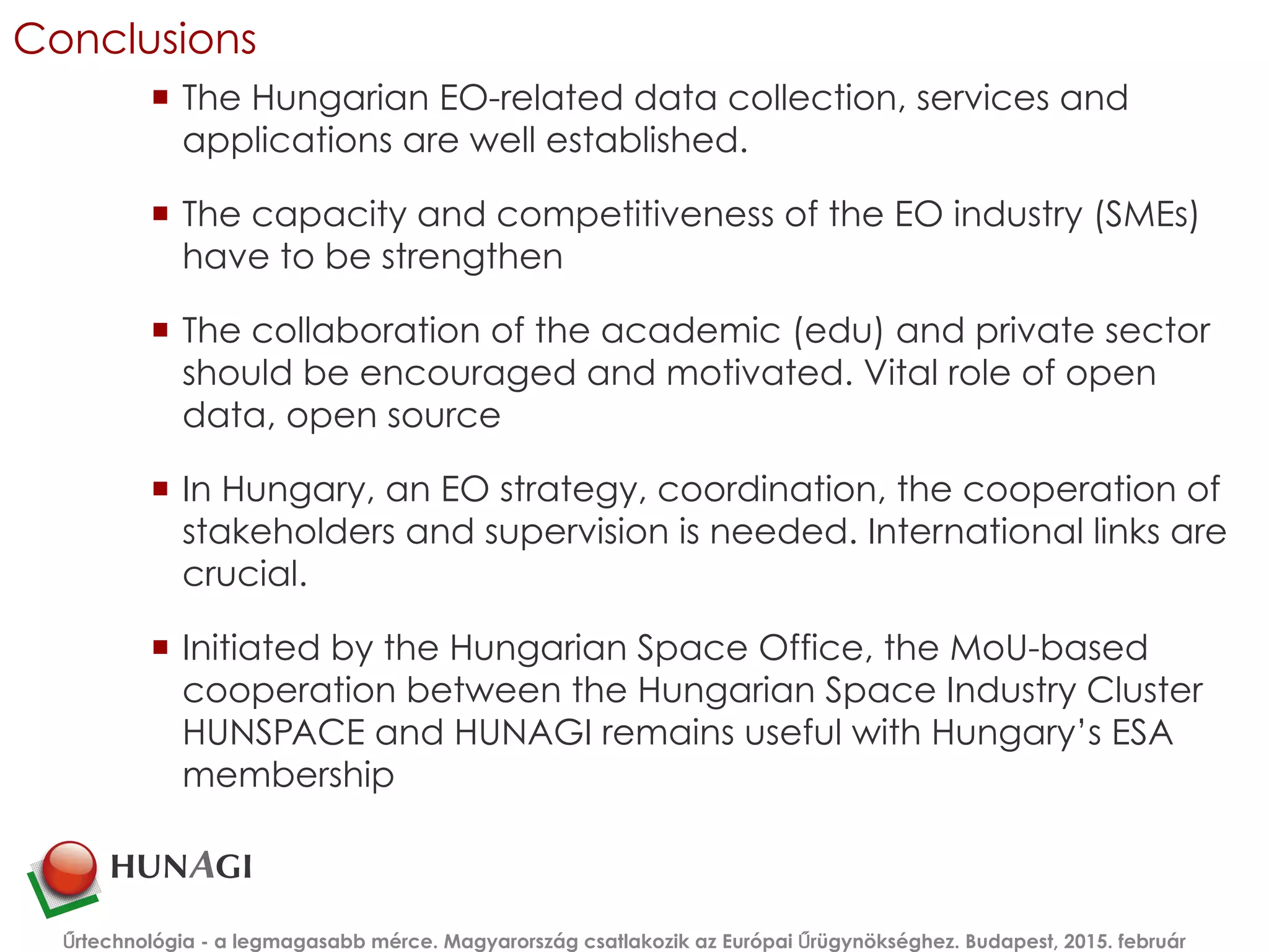

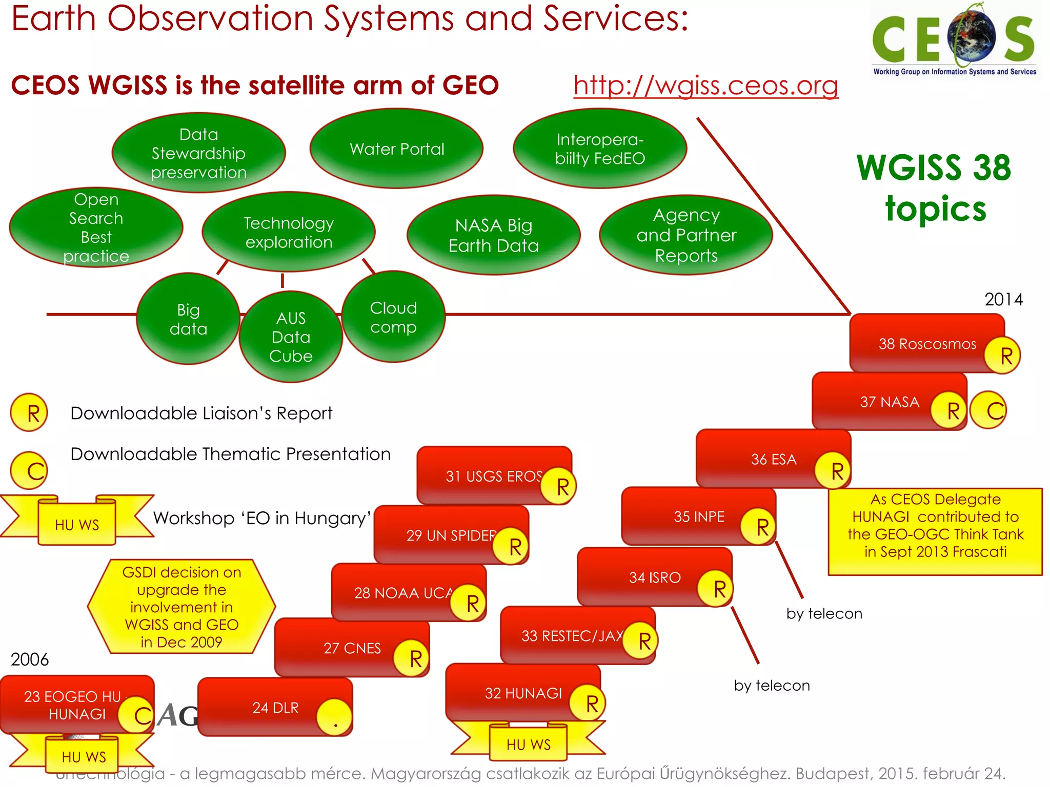
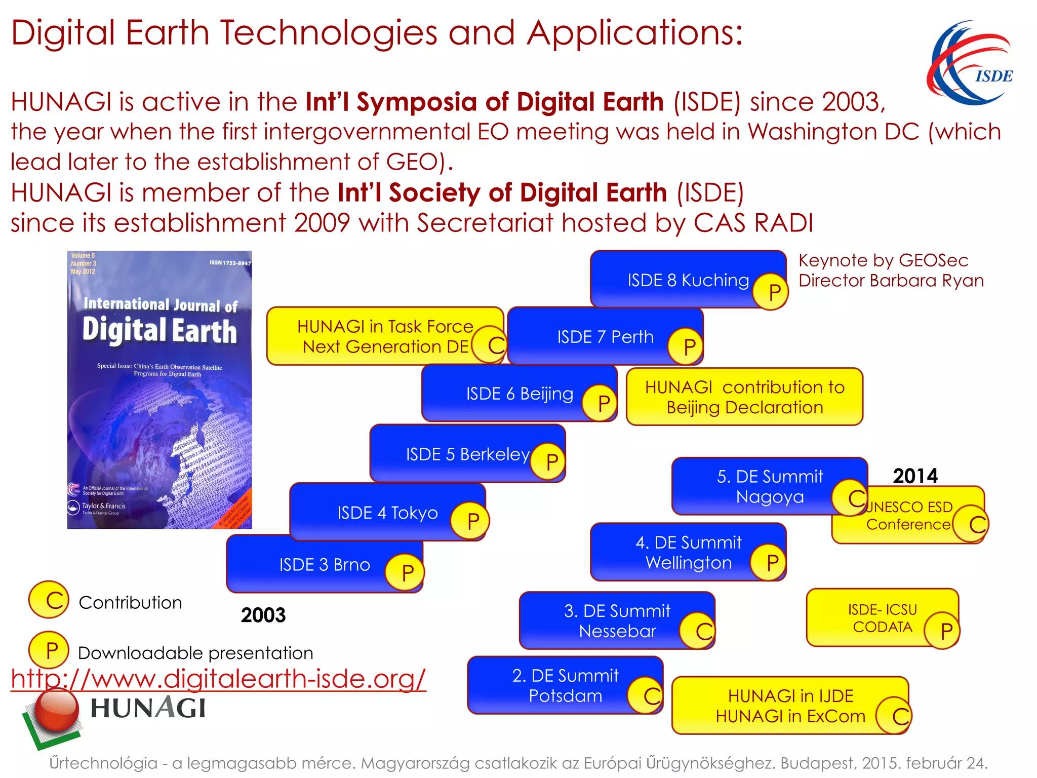
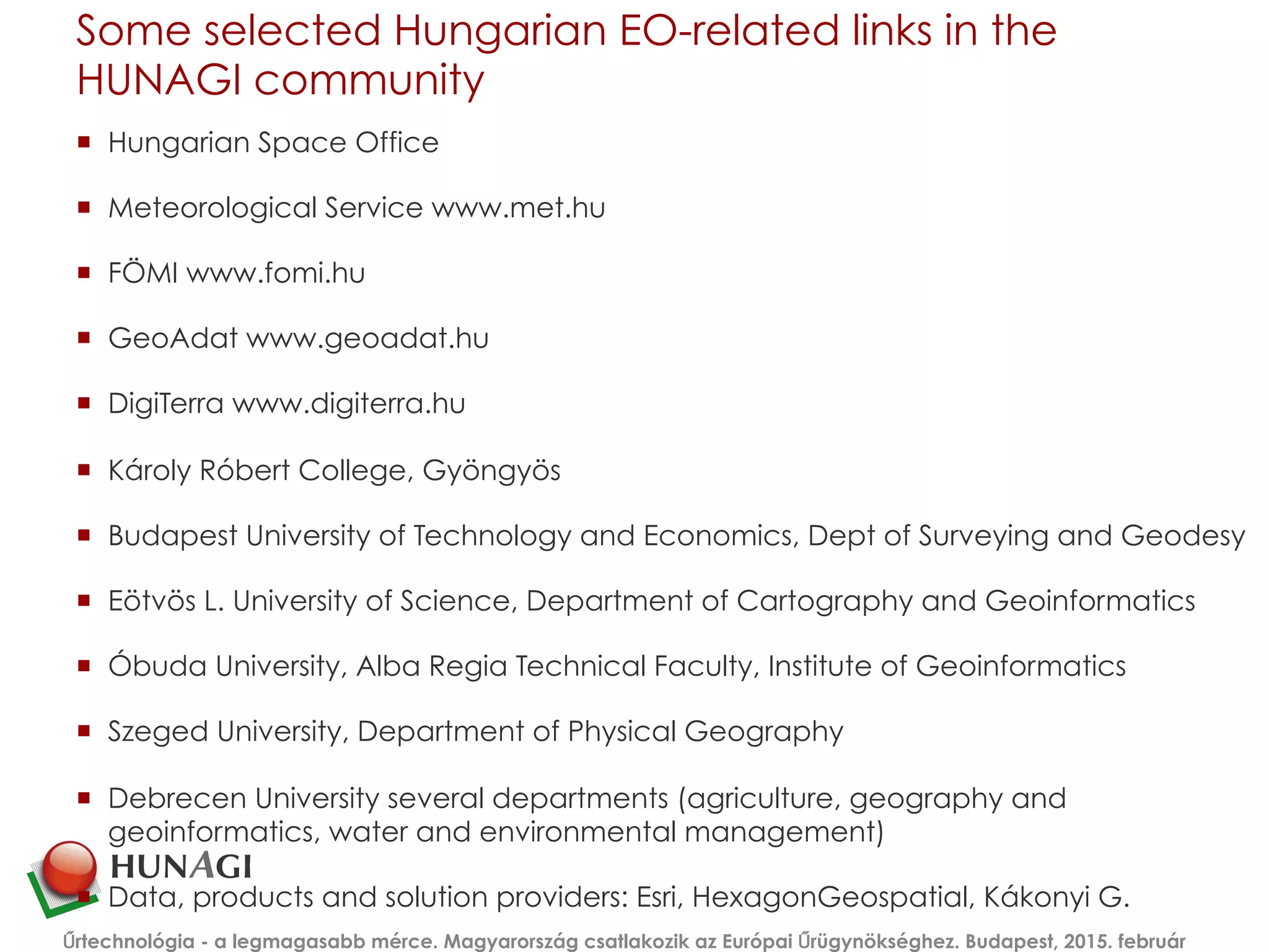

The document outlines Hungary's engagement in Earth Observation (EO) and remote sensing as part of its membership in the European Space Agency (ESA) since 2015. It discusses the evolution of EO technologies, the establishment of the Hungarian Association for Geo-information (HUNAGI), and the significant contributions of various institutions like FÖMI in the application of EO data for environmental monitoring, agriculture, and disaster response. The text emphasizes the need for collaboration among academia, industry, and government to enhance the capabilities and competitiveness of Hungary's EO sector.


![Vibe Coding vs. Spec-Driven Development [Free Meetup]](https://cdn.slidesharecdn.com/ss_thumbnails/vibecodingvsspecdrivendevelopment-251209105622-43f455e7-thumbnail.jpg?width=640&height=640&fit=bounds)


