Downloaded 18 times


![Developing the API
/api/mmba/carrier/verizon.json?
lat=34&lon=-118.2
json, jsonp, geojson, and xml
are supported
if (validLatLon(lat, lon)) {
console.log('lon ' + lon);
console.log('lat ' + lat);
lat = Number(lat);
lon = Number(lon);
geo_find = {geometry: { $geoIntersects: { $geometry: { type: 'Point', coordinates: [lon, lat] }}}};
}](https://image.slidesharecdn.com/mdw14-ericspry-140806165352-phpapp02/85/Visualizing-Mobile-Broadband-with-MongoDB-22-320.jpg)

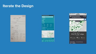

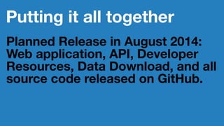


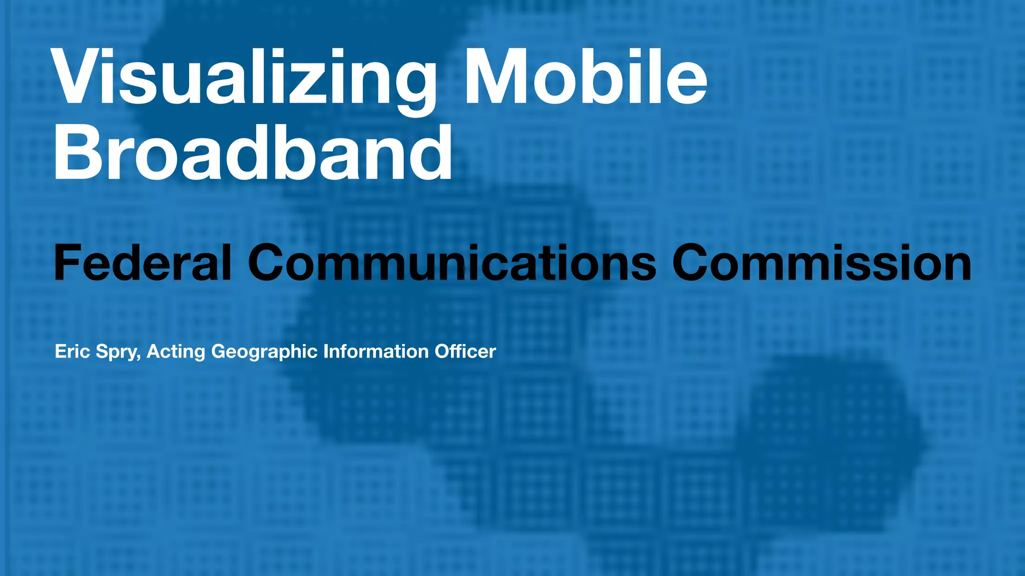
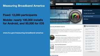
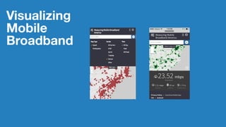
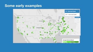
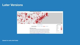
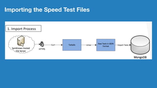
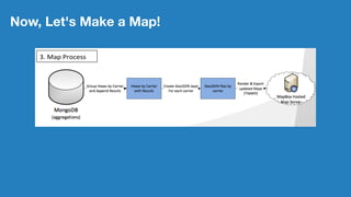
The document discusses the visualizing of mobile broadband data by the Federal Communications Commission (FCC), highlighting the use of a mobile app that collects data from nearly 100,000 mobile installs. It describes the architectural development using MongoDB and the creation of maps to represent carrier performance. The planned release of a web application and additional resources is set for August 2014, inviting public participation in data collection.


![MongoDB .local San Francisco 2020: Powering the new age data demands [Infosys]](https://cdn.slidesharecdn.com/ss_thumbnails/315pminfosysfinalsfoversionvocalpart1-200120221508-thumbnail.jpg?width=640&height=640&fit=bounds)