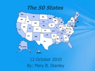
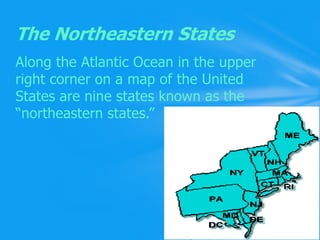
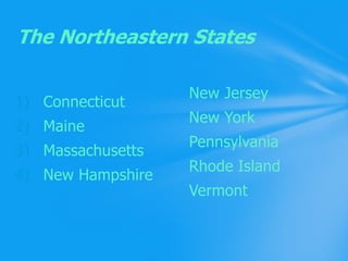
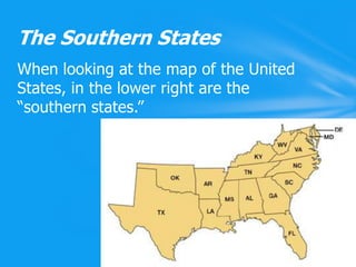
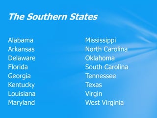
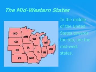
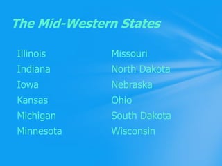
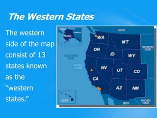
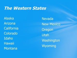
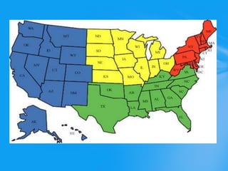
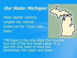
The 50 States12 October 2010By: Mary B. Stanley
When learning about the states, it is important to know where all fifty states are located at.Why We Should Learn This?
Along the Atlantic Ocean in the upper right corner on a map of the United States are ninestates known as the “northeastern states.”The Northeastern States
New JerseyNew YorkPennsylvaniaRhode IslandVermontConnecticutMaineMassachusettsNew HampshireThe Northeastern States
When looking at the map of the United States, in the lower right are the “southern states.”The Southern States
MississippiNorth CarolinaOklahomaSouth CarolinaTennesseeTexasVirginWest VirginiaAlabamaArkansasDelawareFloridaGeorgiaKentuckyLouisianaMaryland The Southern States
In the middle 				of the United				States towards				the top, are the				mid-west 				states.The Mid-Western States
MissouriNorth DakotaNebraskaOhioSouth DakotaWisconsinIllinoisIndianaIowaKansasMichiganMinnesotaThe Mid-Western States
The westernside of the mapconsist of 13 states known as the “westernstates.” The Western States
NevadaNew MexicoOregonUtahWashingtonWyomingAlaskaArizonaCaliforniaColoradoIdahoHawaiiMontanaThe Western States
Even though Alaska and Hawaii are disconnected from the rest of the United States they are considered a part of the “western states.”Alaska and Hawaii
State capital: LansingLargest city: DetroitKnown as the “Great LakeState.”*Michigan is the only state that touches four out of the five Great Lakes. It is also the only state to have two peninsulas, the upper and lower.Our State: Michigan
Today, we learned where all fifty states are located. The four different regions are known as, northeastern, southern, mid-western, and the western states.We also learned more about the state we live in, Michigan.What We Learned
Information on the four regions, slides 3-10: http://www.census.gov/geo/www/us_regdiv.pdfSlide 11: http://en.wikipedia.org/wiki/Western_United_StatesSlide 13: http://michigan.gov/kids/0,1607,7-247-49069-67959--,00.htmlResources for text
Slide 1: http://www.karenika.com/50states/map_us.gifSlide 3: http://www.opm.gov/insure/archive/images/nemap.gifSlide 5: http://www.northcarolina.edu/programs/acm/SREBStates.gifSlide 7: http://future.state.gov/images/images_future/3787/midwest_map_170.jpgSlide 9: http://www.uscg.mil/d13/img/ilog/map_and_tri_554x490.jpgSlide 11: http://www.orbitcast.com/archives/alaska-hawaii.gifSlide 12: http://archive.fairvote.org/media/rotatingprimary_map.jpgSlide 13: http://reformimmigrationforamerica.org/blog/wp-content/uploads/michigan.gifPicture Resources
THE END!

The 50 States