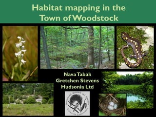
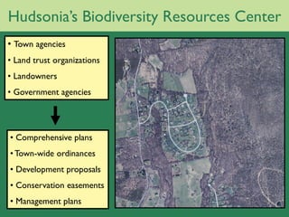
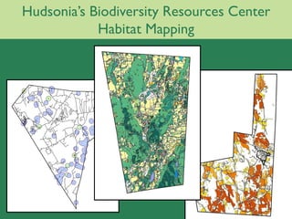
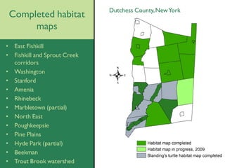
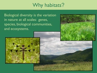
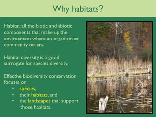
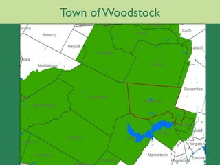
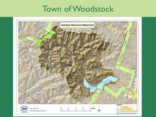
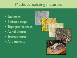
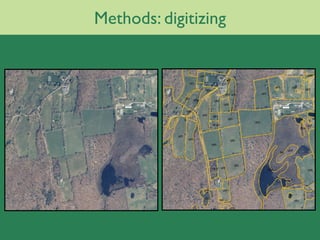
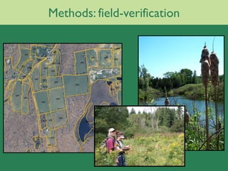
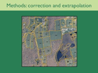
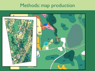
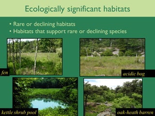
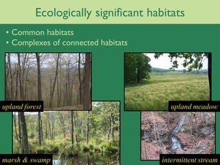
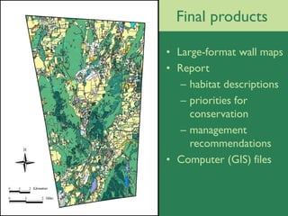
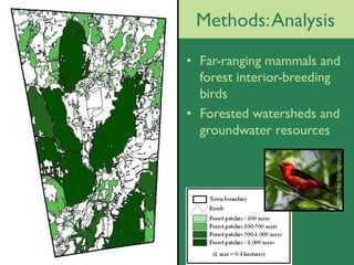
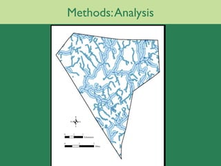
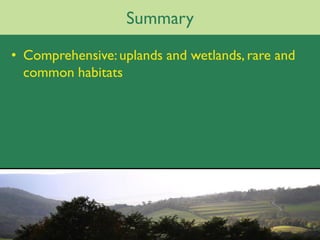
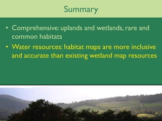
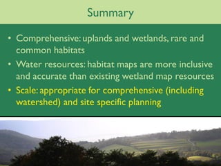
Habitat mapping in the
 Town of Woodstock


       Nava Tabak
     Gretchen Stevens
      Hudsonia Ltd
Hudsonia’s Biodiversity Resources Center
• Town agencies
• Land trust organizations
• Landowners
• Government agencies


• Comprehensive plans
• Town-wide ordinances
• Development proposals
• Conservation easements
• Management plans
Hudsonia’s Biodiversity Resources Center
            Habitat Mapping
Dutchess County, New York
 Completed habitat
      maps
• East Fishkill
• Fishkill and Sprout Creek
  corridors
• Washington
• Stanford
• Amenia
• Rhinebeck
• Marbletown (partial)
• North East
• Poughkeepsie
• Pine Plains
• Hyde Park (partial)
• Beekman
• Trout Brook watershed
Why habitats?
Biological diversity is the variation
in nature at all scales: genes,
species, biological communities,
and ecosystems.
Why habitats?
Habitat: all the biotic and abiotic
components that make up the
environment where an organism or
community occurs.

Habitat diversity is a good
surrogate for species diversity.

Effective biodiversity conservation
focuses on
    • species,
    • their habitats, and
    • the landscapes that support
         those habitats.
Town of Woodstock
Town of Woodstock
Methods: existing materials

•   Soil maps
•   Bedrock maps
•   Topographic maps
•   Aerial photos
•   Stereophotos
•   And more…
Methods: digitizing
Methods: field-verification
Methods: correction and extrapolation
Methods: map production
Ecologically significant habitats
      • Rare or declining habitats
      • Habitats that support rare or declining species


fen                                                  acidic bog


kettle shrub pool                                  oak-heath barren
Ecologically significant habitats
 • Common habitats
 • Complexes of connected habitats


upland forest                            upland meadow


marsh & swamp                         intermittent stream
Final products

• Large-format wall maps
• Report
   – habitat descriptions
   – priorities for
     conservation
   – management
     recommendations
• Computer (GIS) files
Methods: Analysis
• Far-ranging mammals and
  forest interior-breeding
  birds
• Forested watersheds and
  groundwater resources


                         Photo: Peter Schoenberger
Methods: Analysis
Using the maps

• Town-wide planning


• Review of site-
  specific proposals


• Resource for
  landowners and
  land trusts
Watersheds


N
Summary

• Comprehensive: uplands and wetlands, rare and
  common habitats
Summary

• Comprehensive: uplands and wetlands, rare and
  common habitats
• Water resources: habitat maps are more inclusive
  and accurate than existing wetland map resources
Summary

• Comprehensive: uplands and wetlands, rare and
  common habitats
• Water resources: habitat maps are more inclusive
  and accurate than existing wetland map resources
• Scale: appropriate for comprehensive (including
  watershed) and site specific planning
Hudsonia
A non-profit institute

     P.O. Box 66
Red Hook, NY 12571
    845-758-0600
  www.hudsonia.org

Stevens