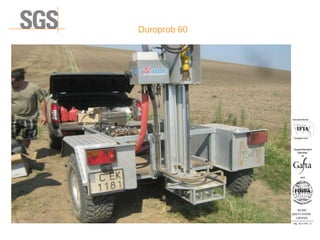
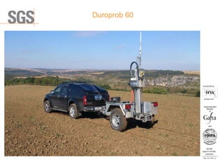
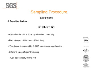
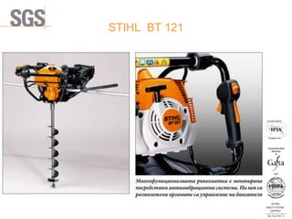
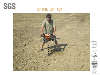
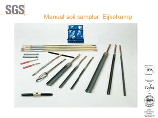
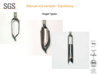
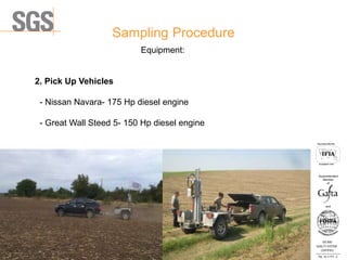
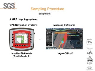
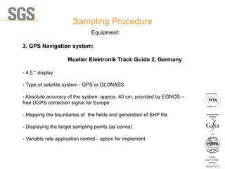
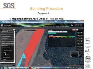
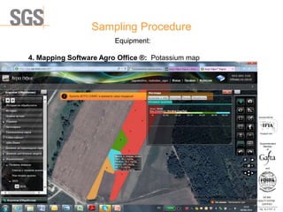
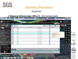
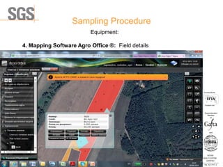
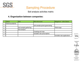
The document describes the equipment and procedures used for soil sampling and analysis. It details 3 types of soil sampling devices - the Duroprob 60 and STIHL BT 121 manual augers, and the Eijkelkamp manual soil sampler. GPS navigation and mapping software, such as Mueller Elektronik Track Guide 2 and Agro Office, are used to map fields and target soil sample points. Soil samples are analyzed to create interactive maps visualizing levels of nutrients like nitrogen, phosphorus, and potassium to inform variable rate fertilizer application.